3110 Highway D Bourbon, MO 65441
Estimated Value: $445,000 - $681,000
3
Beds
3
Baths
1,388
Sq Ft
$382/Sq Ft
Est. Value
About This Home
This home is located at 3110 Highway D, Bourbon, MO 65441 and is currently estimated at $530,783, approximately $382 per square foot. 3110 Highway D is a home located in Crawford County with nearby schools including Sullivan Primary School, Sullivan Elementary School, and Sullivan Middle School.
Ownership History
Date
Name
Owned For
Owner Type
Purchase Details
Closed on
May 30, 2025
Sold by
Sumner Anthony W and Sumner Sally A
Bought by
Zancauske Chase
Current Estimated Value
Home Financials for this Owner
Home Financials are based on the most recent Mortgage that was taken out on this home.
Original Mortgage
$500,000
Outstanding Balance
$497,421
Interest Rate
6.83%
Mortgage Type
Credit Line Revolving
Estimated Equity
$33,362
Purchase Details
Closed on
Nov 24, 2008
Sold by
Bookout Barry D and Pelton Wendy W
Bought by
Sumner Anthony W and Sumner Sally A
Create a Home Valuation Report for This Property
The Home Valuation Report is an in-depth analysis detailing your home's value as well as a comparison with similar homes in the area
Purchase History
| Date | Buyer | Sale Price | Title Company |
|---|---|---|---|
| Zancauske Chase | -- | None Listed On Document | |
| Sumner Anthony W | -- | None Available |
Source: Public Records
Mortgage History
| Date | Status | Borrower | Loan Amount |
|---|---|---|---|
| Open | Zancauske Chase | $500,000 |
Source: Public Records
Tax History
| Year | Tax Paid | Tax Assessment Tax Assessment Total Assessment is a certain percentage of the fair market value that is determined by local assessors to be the total taxable value of land and additions on the property. | Land | Improvement |
|---|---|---|---|---|
| 2025 | $1,600 | $29,160 | $0 | $0 |
| 2024 | $1,591 | $28,990 | $0 | $0 |
| 2023 | $1,578 | $28,990 | $0 | $0 |
| 2022 | $1,575 | $28,990 | $0 | $0 |
| 2021 | $1,583 | $28,990 | $0 | $0 |
| 2020 | $1,520 | $27,360 | $0 | $0 |
| 2019 | $1,520 | $27,360 | $0 | $0 |
| 2018 | $1,515 | $27,000 | $0 | $0 |
| 2017 | $1,508 | $27,000 | $0 | $0 |
| 2016 | $1,508 | $27,000 | $0 | $0 |
| 2015 | -- | $26,410 | $0 | $0 |
| 2014 | -- | $26,400 | $0 | $0 |
| 2013 | -- | $26,400 | $0 | $0 |
Source: Public Records
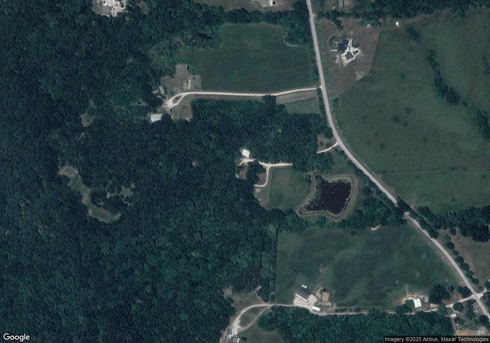
Map
Nearby Homes
- 566 Country Ln
- 1 Cedar Hill Dr
- 105 Grand Oaks Rd
- 841 Watson Rd
- 995 Lake Rd
- 705 S Mansion St
- 621 S Mansion St
- 612 Crestview Dr
- 508 Hughes Ford Rd
- 773 Crawford Cir
- 656B Watson Rd
- 145 Oak St
- 812 Raymond St
- 332 Fair St
- 0 Progress Dr Unit Lot 4 MAR20038653
- 222 Miller St
- 112 Orchard St
- 615 Madison St
- 710 Madison St
- 329 Watson Rd
- 3108 Highway D
- 3081 Highway D
- 3324 Highway D
- 52 Southern Hills Dr
- 57 Southern Hills Dr
- 1015 Pinoak Ln
- 1020 Pinoak Ln
- 1025 Pinoak Ln
- 2975 Highway D
- 2872 Highway D
- 1024 Pinoak Ln
- 1030 Pinoak Ln
- 3482 Highway D
- 2710 Highway D
- 2383 Sappington Rd
- 2704 Highway D
- 2756 Highway D
- 3545 Highway D
- 3483 Highway D
- 2749 State Highway D
Your Personal Tour Guide
Ask me questions while you tour the home.