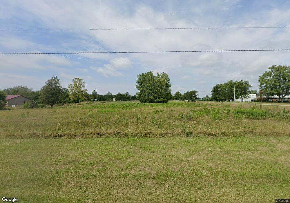
3110 State Route 187 London, OH 43140
Estimated Value: $436,000 - $603,459
3
Beds
3
Baths
2,690
Sq Ft
$196/Sq Ft
Est. Value
About This Home
This home is located at 3110 State Route 187, London, OH 43140 and is currently estimated at $527,365, approximately $196 per square foot. 3110 State Route 187 is a home located in Madison County with nearby schools including London Elementary School, London Middle School, and London High School.
Ownership History
Date
Name
Owned For
Owner Type
Purchase Details
Closed on
Nov 15, 1996
Sold by
Brock Bige
Bought by
Wilson Waymen W and Wilson Susan W
Current Estimated Value
Home Financials for this Owner
Home Financials are based on the most recent Mortgage that was taken out on this home.
Original Mortgage
$115,000
Interest Rate
8.18%
Mortgage Type
New Conventional
Create a Home Valuation Report for This Property
The Home Valuation Report is an in-depth analysis detailing your home's value as well as a comparison with similar homes in the area
Home Values in the Area
Average Home Value in this Area
Purchase History
| Date | Buyer | Sale Price | Title Company |
|---|---|---|---|
| Wilson Waymen W | $30,000 | -- |
Source: Public Records
Mortgage History
| Date | Status | Borrower | Loan Amount |
|---|---|---|---|
| Closed | Wilson Waymen W | $115,000 |
Source: Public Records
Tax History Compared to Growth
Tax History
| Year | Tax Paid | Tax Assessment Tax Assessment Total Assessment is a certain percentage of the fair market value that is determined by local assessors to be the total taxable value of land and additions on the property. | Land | Improvement |
|---|---|---|---|---|
| 2024 | $5,364 | $150,800 | $23,980 | $126,820 |
| 2023 | $5,364 | $150,800 | $23,980 | $126,820 |
| 2022 | $4,772 | $117,760 | $18,730 | $99,030 |
| 2021 | $4,550 | $117,760 | $18,730 | $99,030 |
| 2020 | $4,551 | $117,760 | $18,730 | $99,030 |
| 2019 | $5,039 | $121,210 | $18,600 | $102,610 |
| 2018 | $4,468 | $121,210 | $18,600 | $102,610 |
| 2017 | $3,350 | $121,210 | $18,600 | $102,610 |
| 2016 | $3,350 | $94,100 | $18,600 | $75,500 |
| 2015 | $3,826 | $94,100 | $18,600 | $75,500 |
| 2014 | $3,826 | $94,100 | $18,600 | $75,500 |
| 2013 | -- | $94,250 | $16,050 | $78,200 |
Source: Public Records
Map
Nearby Homes
- 2600 Seneca Dr
- 2055 Cherokee Dr
- 2085 Chickasaw Dr
- 4070 Tradersville-Brighton Rd
- 2086 Palouse Dr
- 2120 Palouse Dr
- 1730 W Choctaw Dr
- 1860 E Choctaw Dr
- 1495 W Choctaw Dr
- 1855 E Choctaw Dr
- 1405 Chickasaw Dr
- 1340 W Choctaw Dr
- 1300 W Choctaw Dr
- 1435 E Choctaw Dr
- 1250 E Choctaw Dr
- 3211 Old Columbus Rd
- 2367 N Houston Pike
- 2321 N Houston
- 3100 State Route 187
- 3230 State Route 187
- 3165 State Route 187
- 3085 State Route 187
- 3300 State Route 187
- 3350 State Route 187
- 3325 State Route 187
- 2995 State Route 187
- 3365 State Route 187
- 3400 State Route 187
- 2870 Ohio 187
- 3430 State Route 187
- 3470 Ohio 187
- 3435 State Route 187
- 2830 State Route 187
- 3470 State Route 187
- 3520 State Route 187
- 2790 State Route 187
- 3550 State Route 187
- 2785 State Route 187