Estimated Value: $196,000 - $235,373
3
Beds
1
Bath
979
Sq Ft
$223/Sq Ft
Est. Value
About This Home
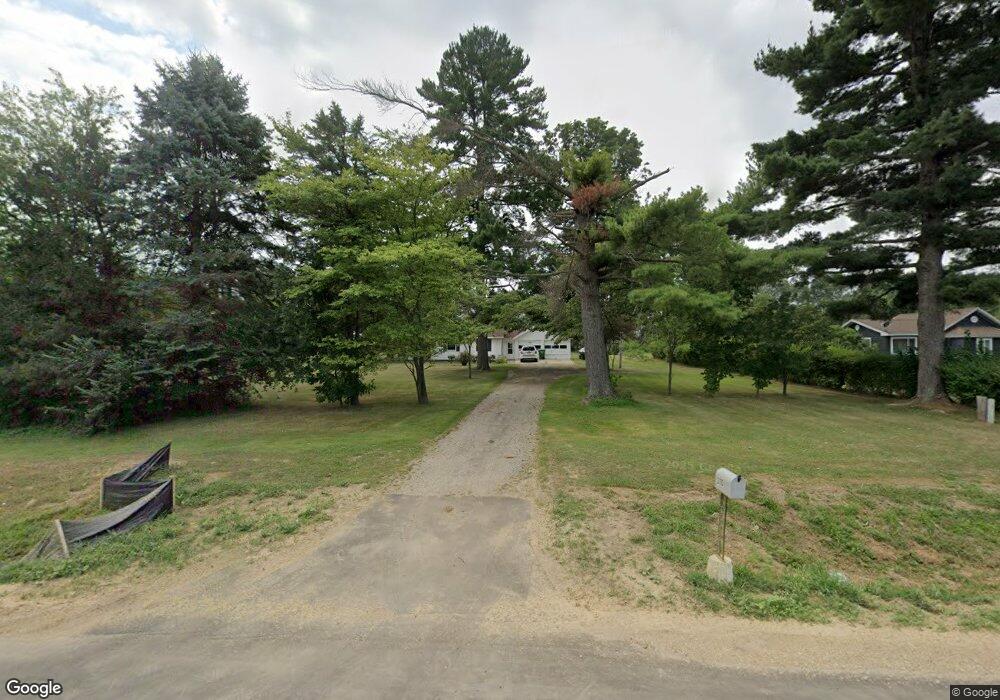
This home is located at 3110 W Us Highway 12, Niles, MI 49120 and is currently estimated at $218,093, approximately $222 per square foot. 3110 W Us Highway 12 is a home located in Berrien County with nearby schools including Ottawa Elementary School, Moccasin Elementary School, and Buchanan Middle School.
Ownership History
Date
Name
Owned For
Owner Type
Purchase Details
Closed on
Oct 18, 2007
Sold by
Myers Douglas and Myers Lisa
Bought by
Robison Lowell D and Robison Bonnie J
Current Estimated Value
Home Financials for this Owner
Home Financials are based on the most recent Mortgage that was taken out on this home.
Original Mortgage
$96,400
Outstanding Balance
$60,716
Interest Rate
6.38%
Mortgage Type
New Conventional
Estimated Equity
$157,377
Purchase Details
Closed on
May 2, 1997
Purchase Details
Closed on
Jan 3, 1991
Create a Home Valuation Report for This Property
The Home Valuation Report is an in-depth analysis detailing your home's value as well as a comparison with similar homes in the area
Home Values in the Area
Average Home Value in this Area
Purchase History
| Date | Buyer | Sale Price | Title Company |
|---|---|---|---|
| Robison Lowell D | $96,400 | Chicago Title | |
| -- | $77,900 | -- | |
| -- | $39,000 | -- |
Source: Public Records
Mortgage History
| Date | Status | Borrower | Loan Amount |
|---|---|---|---|
| Open | Robison Lowell D | $96,400 |
Source: Public Records
Tax History Compared to Growth
Tax History
| Year | Tax Paid | Tax Assessment Tax Assessment Total Assessment is a certain percentage of the fair market value that is determined by local assessors to be the total taxable value of land and additions on the property. | Land | Improvement |
|---|---|---|---|---|
| 2025 | $1,259 | $90,800 | $0 | $0 |
| 2024 | $703 | $79,700 | $0 | $0 |
| 2023 | $670 | $67,500 | $0 | $0 |
| 2022 | $638 | $59,100 | $0 | $0 |
| 2021 | $1,166 | $57,300 | $18,000 | $39,300 |
| 2020 | $1,151 | $57,800 | $0 | $0 |
| 2019 | $1,131 | $46,900 | $14,500 | $32,400 |
| 2018 | $1,122 | $46,900 | $0 | $0 |
| 2017 | $1,100 | $47,100 | $0 | $0 |
| 2016 | $1,093 | $50,600 | $0 | $0 |
| 2015 | $1,092 | $45,500 | $0 | $0 |
| 2014 | $459 | $45,100 | $0 | $0 |
Source: Public Records
Map
Nearby Homes
- 4844 Ontario
- 3660 Buffalo Rd
- 1675 Mallard Dr
- 301 Woodland
- 802 Carrol St
- 4047 Wildon Ct
- Track 4 W Us 12 Hwy Trail
- 3017 Niles Buchanan Rd
- 2160 Portage Rd
- 118 Schirmer Pkwy
- 302 Sylvan St
- 4832 Woodside Dr
- 404 S Red Bud Trail
- 501 S Oak St
- 143 Sweet William Ln
- 201 S Oak St
- 113 W Chicago St
- 103 W Smith St
- 144 Poppy Ct
- 139 Poppy Ct
- 3120 W Us Highway 12
- 3070 W Us Highway 12
- 3135 Us 12 W
- 3135 W Us Highway 12
- 3160 W Us Highway 12
- 3195 W Us Highway 12
- 3195 W Us Highway 12
- 3215 U S 12
- 3075 Buffalo Rd
- 3105 Buffalo Rd
- 3090 Buffalo Rd
- 3205 Buffalo Rd
- 3340 W Us Highway 12
- 3305 Buffalo Rd
- 1760 Mayflower Rd
- 3243 Chamberlain Rd
- 3135 Chamberlain Rd Unit 71
- 3037 Chamberlain Rd
- 3029 Chamberlain Rd
- 3021 Chamberlain Rd