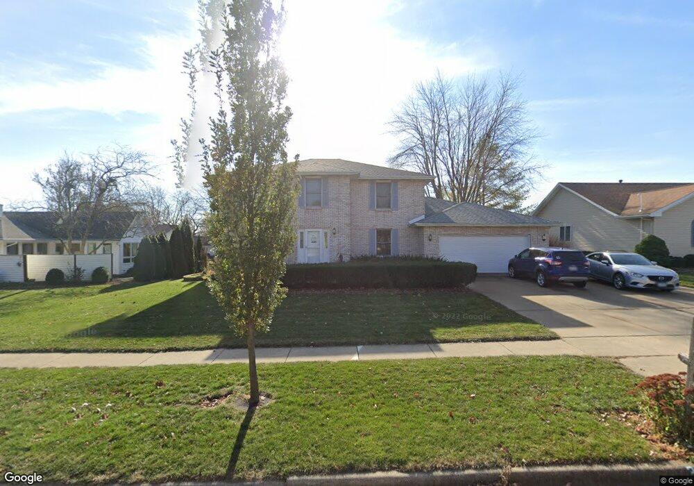
3111 Bristol Dr Bloomington, IL 61704
Oakridge NeighborhoodEstimated Value: $374,955 - $392,000
4
Beds
4
Baths
5,040
Sq Ft
$76/Sq Ft
Est. Value
About This Home
This home is located at 3111 Bristol Dr, Bloomington, IL 61704 and is currently estimated at $382,989, approximately $75 per square foot. 3111 Bristol Dr is a home located in McLean County with nearby schools including Washington Elementary School, Bloomington Junior High School, and Bloomington High School.
Ownership History
Date
Name
Owned For
Owner Type
Purchase Details
Closed on
Oct 9, 2009
Sold by
Solberg Jeffrey Martin and Solberg Janet Lynn
Bought by
Francisco Chad and Francisco Deanna
Current Estimated Value
Home Financials for this Owner
Home Financials are based on the most recent Mortgage that was taken out on this home.
Original Mortgage
$195,200
Outstanding Balance
$128,176
Interest Rate
5.19%
Estimated Equity
$254,813
Create a Home Valuation Report for This Property
The Home Valuation Report is an in-depth analysis detailing your home's value as well as a comparison with similar homes in the area
Home Values in the Area
Average Home Value in this Area
Purchase History
| Date | Buyer | Sale Price | Title Company |
|---|---|---|---|
| Francisco Chad | $244,000 | None Available |
Source: Public Records
Mortgage History
| Date | Status | Borrower | Loan Amount |
|---|---|---|---|
| Open | Francisco Chad | $195,200 |
Source: Public Records
Tax History
| Year | Tax Paid | Tax Assessment Tax Assessment Total Assessment is a certain percentage of the fair market value that is determined by local assessors to be the total taxable value of land and additions on the property. | Land | Improvement |
|---|---|---|---|---|
| 2024 | $7,917 | $111,747 | $22,706 | $89,041 |
| 2022 | $7,917 | $93,158 | $18,929 | $74,229 |
| 2021 | $7,248 | $85,281 | $17,329 | $67,952 |
| 2020 | $6,720 | $85,281 | $17,329 | $67,952 |
| 2019 | $6,700 | $85,281 | $17,329 | $67,952 |
| 2018 | $6,672 | $85,281 | $17,329 | $67,952 |
| 2017 | $6,675 | $85,281 | $17,329 | $67,952 |
| 2016 | $6,663 | $85,281 | $17,329 | $67,952 |
| 2015 | $6,550 | $84,153 | $17,100 | $67,053 |
| 2014 | $6,278 | $83,364 | $17,100 | $66,264 |
| 2013 | -- | $81,730 | $16,765 | $64,965 |
Source: Public Records
Map
Nearby Homes
- 4 Scofield Ct
- 404 Chelsea Dr
- 28 Chatsford Ct
- 317 Waterford Estates Dr
- 3 Harvest Ct
- 607 Old Farm Rd
- 2814 Richard Rd
- 3009 E Oakland Ave
- 9 Blue Lake Ct
- 5 Pembrook Cir
- 63 Brookshire Green
- 6 Stonebrook Ct
- 10 Prenzler Dr
- 105 S Devonshire Dr
- 110 S Hershey Rd
- 8 Minks Ct
- 47 Stonebrook Ct
- 5 Andy Ct Unit 4
- 29 Brandywine Ct
- 418 Standish Dr
- 3109 Bristol Dr
- 601 Chelsea Dr
- 3112 Preston Dr
- 3110 Preston Dr
- 3114 Preston Dr
- 3107 Bristol Dr
- 3112 Bristol Dr
- 3110 Bristol Dr
- 3114 Bristol Dr
- 3108 Preston Dr
- 3105 Bristol Dr
- 3108 Bristol Dr
- 602 Chelsea Dr
- 3106 Preston Dr
- 510 Chelsea Dr
- 503 Chelsea Dr
- 503 Chelsea Dr
- 3106 Bristol Dr
- 9 Scofield Ct
- 3111 Preston Dr