3111 E Shore Dr Port Clinton, OH 43452
Estimated Value: $426,000 - $688,000
3
Beds
2
Baths
1,714
Sq Ft
$313/Sq Ft
Est. Value
About This Home
This home is located at 3111 E Shore Dr, Port Clinton, OH 43452 and is currently estimated at $536,483, approximately $313 per square foot. 3111 E Shore Dr is a home located in Ottawa County with nearby schools including Bataan Memorial Primary School, Bataan Memorial Intermediate School, and Port Clinton Middle School.
Ownership History
Date
Name
Owned For
Owner Type
Purchase Details
Closed on
May 28, 2025
Sold by
No Worries At The Lake Ltd
Bought by
Bell Ronald H and Bell Joellen M
Current Estimated Value
Purchase Details
Closed on
May 7, 2009
Sold by
Bell Joellen M
Bought by
No Worries At The Lake Ltd
Purchase Details
Closed on
Apr 16, 2009
Sold by
Bell Joellen M
Bought by
Bell Joellen M and Joellen M Bell Trust
Purchase Details
Closed on
Dec 10, 1993
Sold by
Swartzlander Virgil
Bought by
Swartzlander Dorthy
Create a Home Valuation Report for This Property
The Home Valuation Report is an in-depth analysis detailing your home's value as well as a comparison with similar homes in the area
Home Values in the Area
Average Home Value in this Area
Purchase History
| Date | Buyer | Sale Price | Title Company |
|---|---|---|---|
| Bell Ronald H | -- | None Listed On Document | |
| No Worries At The Lake Ltd | -- | None Available | |
| Bell Joellen M | -- | None Available | |
| Swartzlander Dorthy | -- | -- |
Source: Public Records
Tax History Compared to Growth
Tax History
| Year | Tax Paid | Tax Assessment Tax Assessment Total Assessment is a certain percentage of the fair market value that is determined by local assessors to be the total taxable value of land and additions on the property. | Land | Improvement |
|---|---|---|---|---|
| 2024 | $6,037 | $175,784 | $125,587 | $50,197 |
| 2023 | $6,037 | $129,591 | $89,705 | $39,886 |
| 2022 | $4,846 | $129,591 | $89,705 | $39,886 |
| 2021 | $4,840 | $129,600 | $89,710 | $39,890 |
| 2020 | $4,508 | $115,910 | $76,020 | $39,890 |
| 2019 | $4,439 | $115,910 | $76,020 | $39,890 |
| 2018 | $4,296 | $115,910 | $76,020 | $39,890 |
| 2017 | $3,868 | $102,710 | $74,530 | $28,180 |
| 2016 | $3,877 | $102,710 | $74,530 | $28,180 |
| 2015 | $3,893 | $102,710 | $74,530 | $28,180 |
| 2014 | $3,927 | $102,710 | $74,530 | $28,180 |
| 2013 | $3,939 | $102,710 | $74,530 | $28,180 |
Source: Public Records
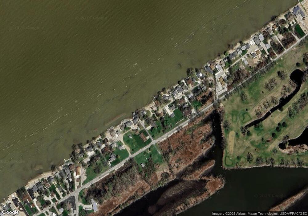
Map
Nearby Homes
- 2350 E Sand Rd
- 2348 E Sand Rd
- 2656 E Harbor Rd Unit D-3
- 2656 E Harbor Rd Unit D-2
- 2656 E Harbor Rd Unit D-1
- 2130 E Sand Rd
- 146 N Harbors End Dr Unit 21A
- 2817 E Harbor Rd
- 3500 Woodhill Dr
- 2322 E State Rd Unit 12
- 3571 E Eagle Beach Cir
- 680 S Plasterbed Rd Unit 4-7
- 19 N Beach St
- 3720 E Aqua Aire Dr Unit 138
- 764 SE Catawba Rd Unit 109
- 764 SE Catawba Rd Unit 98
- 764 SE Catawba Rd Unit 115
- 764 SE Catawba Rd Unit 196
- 12 N Beach St
- 780 SE Catawba Rd Unit 101
- 3117 E Shore Dr
- 2435 E Sand Rd
- 3129 E Shore Dr
- 3128 E Shore Dr
- 173 N Mauna Loa Blvd
- 3081 E Shore Dr
- 3141 E Shore Dr
- 3148 E Shore Dr
- 170 N Sunrise Ave
- 2473 E Sand Rd
- 3069 E Shore Dr
- 3151 E Shore Dr
- 3059 E Shore Dr
- 3161 E Shore Dr
- 3160 E Shore Dr
- 166 N Sunrise Ave
- 175 N Sunrise Ave
- 3051 E Shore Dr
- 3166 E Shore Dr
- 3166 E Shore Dr