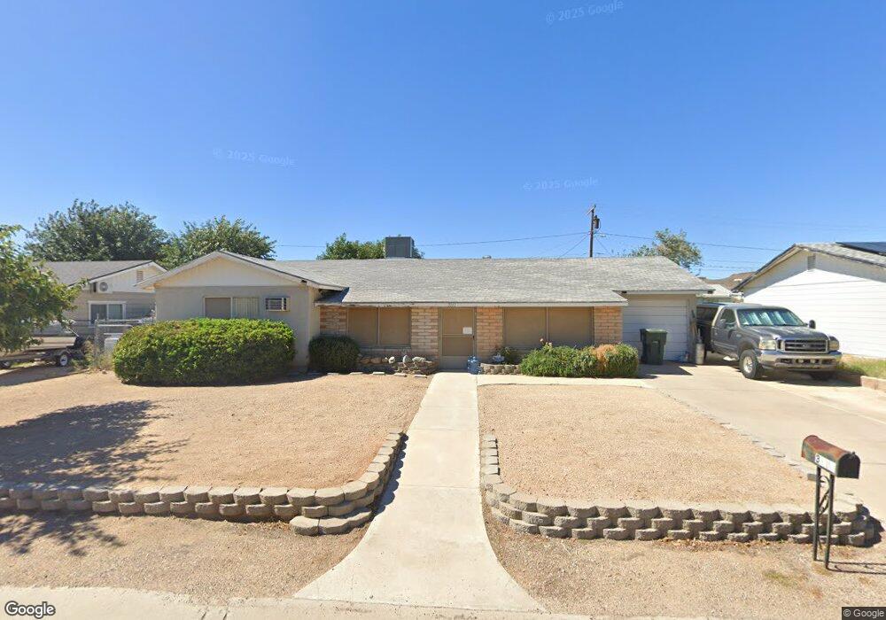
3111 N Mark Dr Kingman, AZ 86401
Estimated Value: $159,000 - $239,000
--
Bed
2
Baths
1,373
Sq Ft
$148/Sq Ft
Est. Value
About This Home
This home is located at 3111 N Mark Dr, Kingman, AZ 86401 and is currently estimated at $202,579, approximately $147 per square foot. 3111 N Mark Dr is a home located in Mohave County with nearby schools including Manzanita Elementary School, Kingman Middle School, and Kingman High School.
Ownership History
Date
Name
Owned For
Owner Type
Purchase Details
Closed on
Dec 12, 2006
Sold by
Handy Raymon A
Bought by
Handy Raymon A
Current Estimated Value
Purchase Details
Closed on
Aug 7, 2003
Sold by
Mccormick Rick and Mccormick Sheri
Bought by
Handy Raymon and Handy Sylvia
Home Financials for this Owner
Home Financials are based on the most recent Mortgage that was taken out on this home.
Original Mortgage
$78,850
Outstanding Balance
$34,672
Interest Rate
5.6%
Mortgage Type
New Conventional
Estimated Equity
$167,907
Create a Home Valuation Report for This Property
The Home Valuation Report is an in-depth analysis detailing your home's value as well as a comparison with similar homes in the area
Home Values in the Area
Average Home Value in this Area
Purchase History
| Date | Buyer | Sale Price | Title Company |
|---|---|---|---|
| Handy Raymon A | -- | None Available | |
| Handy Raymon | $83,000 | Capital Title Agency Inc |
Source: Public Records
Mortgage History
| Date | Status | Borrower | Loan Amount |
|---|---|---|---|
| Open | Handy Raymon | $78,850 |
Source: Public Records
Tax History Compared to Growth
Tax History
| Year | Tax Paid | Tax Assessment Tax Assessment Total Assessment is a certain percentage of the fair market value that is determined by local assessors to be the total taxable value of land and additions on the property. | Land | Improvement |
|---|---|---|---|---|
| 2026 | -- | -- | -- | -- |
| 2025 | $410 | $0 | $0 | $0 |
| 2024 | $410 | $20,803 | $0 | $0 |
| 2023 | $410 | $13,700 | $0 | $0 |
| 2022 | $375 | $10,627 | $0 | $0 |
| 2021 | $398 | $9,215 | $0 | $0 |
| 2019 | $358 | $8,582 | $0 | $0 |
| 2018 | $374 | $7,333 | $0 | $0 |
| 2017 | $339 | $6,023 | $0 | $0 |
| 2016 | $326 | $5,614 | $0 | $0 |
| 2015 | $341 | $4,622 | $0 | $0 |
Source: Public Records
Map
Nearby Homes
- 905 Country Club Dr
- 999 Berk Ave
- 3177 Fairfax St
- 1737 Atlantic Ave
- 0000 Country Club Dr
- 00 Country Club Dr
- 885 Beverly Ave
- 875 Beverly Ave
- 721 Sunrise Ave
- 2504 Golf Dr
- 2504 Airfield Ct
- 1707 Motor Ave
- Lot 11 Country Club Dr
- Lot 10 Country Club Dr
- Lot 12 Country Club Dr
- Lot 12A Country Club Dr
- Lot 18 Country Club Dr
- 1064 Sheldon Ave Unit 9
- 1744 Motor Ave
- 2112 Golf Dr Unit 16
- 3105 N Mark Dr
- 3115 N Mark Dr
- 3110 Emilie Cir
- 3114 Emilie Cir
- 3015 N Mark Dr
- 0 Detroit Unit 872147
- 0 Detroit Unit 878744
- 0 Detroit Unit 356183
- 0 Detroit Unit 356128
- 0 Detroit
- L16-26 Detroit
- 3100 Emilie Cir
- 3131 N Mark Dr
- 3005 N Mark Dr
- 3130 Emilie Cir
- 3103 Emilie Cir
- 3115 Emilie Cir
- 3109 Emilie Cir
- 3135 N Mark Dr
- 3121 Emilie Cir