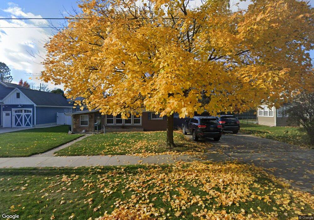
3111 Omar St Port Huron, MI 48060
Estimated Value: $217,000 - $263,000
3
Beds
1
Bath
2,088
Sq Ft
$117/Sq Ft
Est. Value
About This Home
This home is located at 3111 Omar St, Port Huron, MI 48060 and is currently estimated at $244,938, approximately $117 per square foot. 3111 Omar St is a home located in St. Clair County with nearby schools including Garfield Elementary School, Holland Woods Middle School, and Port Huron Northern High School.
Create a Home Valuation Report for This Property
The Home Valuation Report is an in-depth analysis detailing your home's value as well as a comparison with similar homes in the area
Home Values in the Area
Average Home Value in this Area
Tax History Compared to Growth
Tax History
| Year | Tax Paid | Tax Assessment Tax Assessment Total Assessment is a certain percentage of the fair market value that is determined by local assessors to be the total taxable value of land and additions on the property. | Land | Improvement |
|---|---|---|---|---|
| 2025 | $2,489 | $109,700 | $0 | $0 |
| 2024 | $2,132 | $100,200 | $0 | $0 |
| 2023 | $2,014 | $89,200 | $0 | $0 |
| 2022 | $2,132 | $74,000 | $0 | $0 |
| 2021 | $2,024 | $67,600 | $0 | $0 |
| 2020 | $2,046 | $64,500 | $64,500 | $0 |
| 2019 | $2,010 | $56,200 | $0 | $0 |
| 2018 | $1,965 | $56,200 | $0 | $0 |
| 2017 | $1,755 | $51,400 | $0 | $0 |
| 2016 | $1,503 | $51,400 | $0 | $0 |
| 2015 | $1,475 | $45,800 | $45,800 | $0 |
| 2014 | $1,475 | $41,700 | $41,700 | $0 |
| 2013 | -- | $40,500 | $0 | $0 |
Source: Public Records
Map
Nearby Homes
- 1020 Sanborn St
- 3455 Gratiot Ave
- 1202 Palmer Ct
- 3321 Stone St
- 3214 Poplar St
- 2431 Armour St
- 1218 Garfield St
- 2419 Cherry St
- 2913 11th Ave
- 1116 Hancock St
- 1434 Schumaker St
- 909 Elmwood St
- 1531 Robinson St
- 1424 Hazelwood Ln
- 2400 Stone St Unit 2414
- 3208 Mount Vernon Rd
- 2812 19th Ave
- 2215 Hancock St
- 3419 Riverside Dr
- 1620 McBrady St