31111 State Route 706 E Ashford, WA 98304
Estimated Value: $478,300 - $533,000
2
Beds
2
Baths
2,944
Sq Ft
$172/Sq Ft
Est. Value
About This Home
This home is located at 31111 State Route 706 E, Ashford, WA 98304 and is currently estimated at $505,650, approximately $171 per square foot. 31111 State Route 706 E is a home with nearby schools including Eatonville High School.
Ownership History
Date
Name
Owned For
Owner Type
Purchase Details
Closed on
Dec 15, 2004
Sold by
Simonson Eric
Bought by
Ashford Llc
Current Estimated Value
Home Financials for this Owner
Home Financials are based on the most recent Mortgage that was taken out on this home.
Original Mortgage
$235,000
Outstanding Balance
$117,767
Interest Rate
5.74%
Mortgage Type
Commercial
Estimated Equity
$387,883
Purchase Details
Closed on
May 19, 2004
Sold by
Eshelman William D
Bought by
Simonson Eric and Simonson Erin
Create a Home Valuation Report for This Property
The Home Valuation Report is an in-depth analysis detailing your home's value as well as a comparison with similar homes in the area
Home Values in the Area
Average Home Value in this Area
Purchase History
| Date | Buyer | Sale Price | Title Company |
|---|---|---|---|
| Ashford Llc | -- | First American Title Ins Co | |
| Simonson Eric | $165,000 | Fat |
Source: Public Records
Mortgage History
| Date | Status | Borrower | Loan Amount |
|---|---|---|---|
| Open | Ashford Llc | $235,000 |
Source: Public Records
Tax History Compared to Growth
Tax History
| Year | Tax Paid | Tax Assessment Tax Assessment Total Assessment is a certain percentage of the fair market value that is determined by local assessors to be the total taxable value of land and additions on the property. | Land | Improvement |
|---|---|---|---|---|
| 2025 | $4,669 | $474,100 | $209,700 | $264,400 |
| 2024 | $4,669 | $465,600 | $190,600 | $275,000 |
| 2023 | $4,669 | $477,300 | $190,600 | $286,700 |
| 2022 | $4,556 | $441,900 | $190,600 | $251,300 |
| 2021 | $4,266 | $365,900 | $139,900 | $226,000 |
| 2019 | $4,233 | $382,300 | $155,900 | $226,400 |
| 2018 | $4,938 | $386,100 | $155,900 | $230,200 |
| 2017 | $4,978 | $367,000 | $142,200 | $224,800 |
| 2016 | $3,637 | $381,500 | $142,200 | $239,300 |
| 2014 | $1,980 | $257,100 | $68,000 | $189,100 |
| 2013 | $1,980 | $257,100 | $68,000 | $189,100 |
Source: Public Records
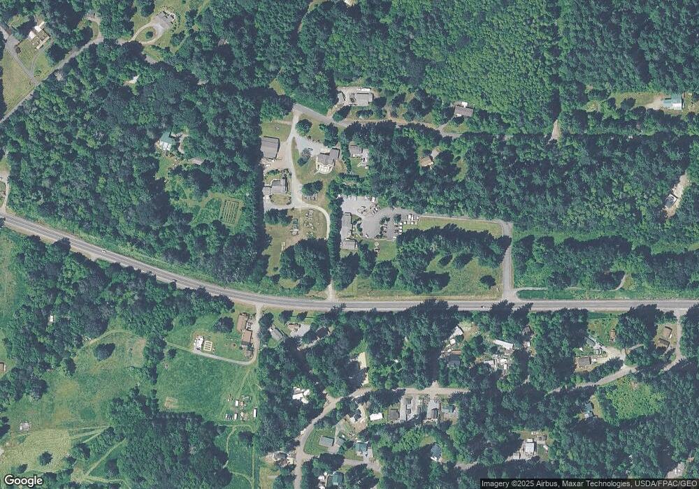
Map
Nearby Homes
- 55509 310th Avenue Ct E
- 31603 554th Street Ct E
- 31401 556th St E
- 55918 317th Ave E
- 56002 317th Ave E
- 31728 558th Street Ct E
- 278 Osborn Rd
- 56104 Kernahan Rd E
- 219 Paradise Dr
- 165 Nisqually Way
- 54611 278th Ave E
- 34208 343rd Avenue Ct E
- 195 Paradise Dr
- 193 Paradise Dr
- 109 Mountain View - 2 Dr S
- 56310 344th Avenue Ct E
- 113 Big Creek Rd
- 109 Big Creek Rd
- 119 Big Creek Rd
- 158 Paradise Dr
- 37713 Highway 706
- 38219 Highway 706
- 0 Highway 706
- 30419 Highway 706
- 36809 Highway 706
- 31016 Mount Tahoma Canyon Rd E
- 31110 Mount Tahoma Canyon Rd E
- 31013 553rd Stct E
- 31015 State Route 706 E
- 31009 553rd Stct E
- 31009 553rd St E
- 31017 553rd St E
- 31017 553rd St Ct E
- 55212 312th Ave
- 31109 553rd Street Ct E
- 31006 553rd St E
- 31006 553rd
- 31006 553rd Street Ct E
- 31107 553rd St E
- 30920 State Route 706 E