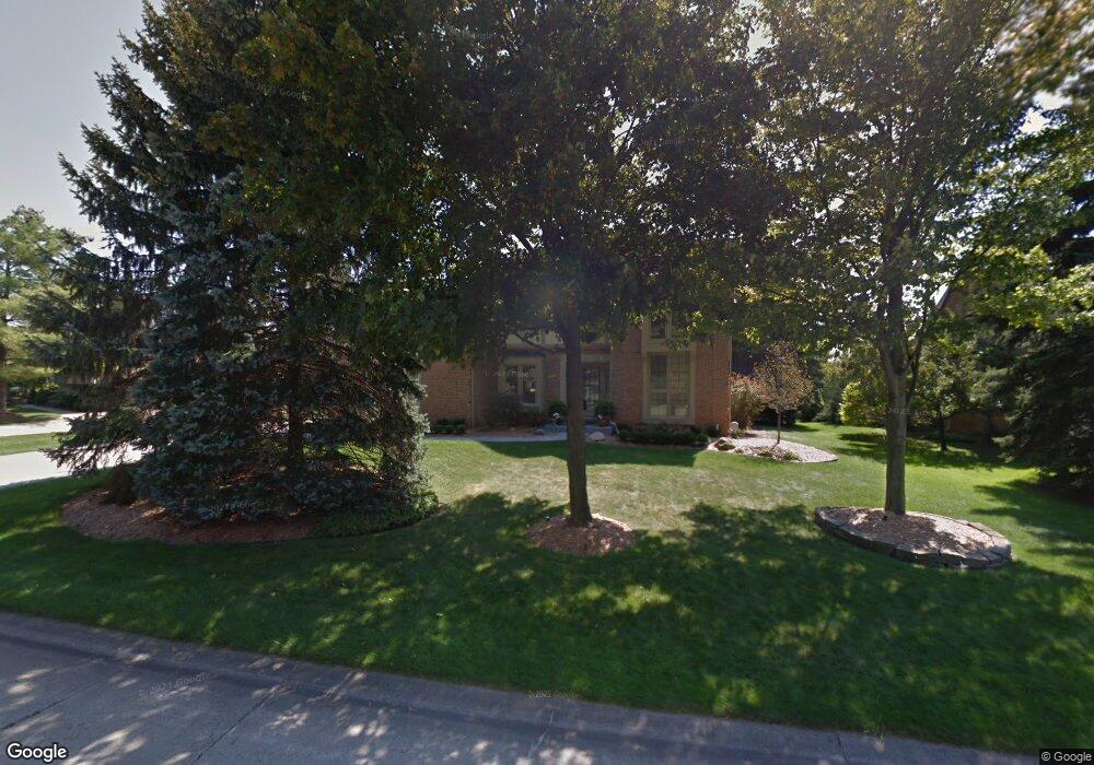
3112 Salem Dr Rochester Hills, MI 48306
Estimated Value: $519,884 - $606,000
4
Beds
3
Baths
2,503
Sq Ft
$228/Sq Ft
Est. Value
About This Home
This home is located at 3112 Salem Dr, Rochester Hills, MI 48306 and is currently estimated at $569,471, approximately $227 per square foot. 3112 Salem Dr is a home located in Oakland County with nearby schools including Musson Elementary School, Van Hoosen Middle School, and Rochester Adams High School.
Ownership History
Date
Name
Owned For
Owner Type
Purchase Details
Closed on
May 26, 2006
Sold by
Eckhout Dianne and Eckhout Dianne C
Bought by
Smith Jeffrey B and Smith Michelle M
Current Estimated Value
Home Financials for this Owner
Home Financials are based on the most recent Mortgage that was taken out on this home.
Original Mortgage
$273,600
Outstanding Balance
$161,304
Interest Rate
6.62%
Mortgage Type
Fannie Mae Freddie Mac
Estimated Equity
$408,167
Purchase Details
Closed on
Aug 6, 2001
Sold by
Eckhout C
Bought by
Eckhout Dianne C
Home Financials for this Owner
Home Financials are based on the most recent Mortgage that was taken out on this home.
Original Mortgage
$208,800
Interest Rate
6.52%
Purchase Details
Closed on
Oct 5, 1995
Sold by
Ludwig Gregory E
Bought by
Eckhout Charles R
Create a Home Valuation Report for This Property
The Home Valuation Report is an in-depth analysis detailing your home's value as well as a comparison with similar homes in the area
Home Values in the Area
Average Home Value in this Area
Purchase History
| Date | Buyer | Sale Price | Title Company |
|---|---|---|---|
| Smith Jeffrey B | $342,000 | Title Source Inc | |
| Eckhout Dianne C | -- | -- | |
| Eckhout Charles R | $236,000 | -- |
Source: Public Records
Mortgage History
| Date | Status | Borrower | Loan Amount |
|---|---|---|---|
| Open | Smith Jeffrey B | $273,600 | |
| Previous Owner | Eckhout Dianne C | $208,800 |
Source: Public Records
Tax History Compared to Growth
Tax History
| Year | Tax Paid | Tax Assessment Tax Assessment Total Assessment is a certain percentage of the fair market value that is determined by local assessors to be the total taxable value of land and additions on the property. | Land | Improvement |
|---|---|---|---|---|
| 2022 | $2,348 | $178,780 | $0 | $0 |
| 2018 | $3,893 | $154,140 | $0 | $0 |
| 2017 | $3,815 | $151,940 | $0 | $0 |
| 2015 | -- | $142,380 | $0 | $0 |
| 2014 | -- | $128,000 | $0 | $0 |
| 2011 | -- | $112,970 | $0 | $0 |
Source: Public Records
Map
Nearby Homes
- 3273 Salem Dr
- 1609 Kilburn Rd N
- 2935 Woodford Cir
- 5826 Murfield Dr
- 1906 Independence Ct
- 3377 Charlwood Dr
- 3674 Merriweather Ln
- 5724 Murfield Dr
- 2821 Addison Cir S
- 3185 Saint James Ct
- 5700 Rolling Hills Dr
- 1102 Cobridge Dr
- 1515 Chevy Circuit
- 4070 Blue Heron Dr
- 3890 Hillsdale Dr
- 1378 E Greythorne Dr
- 3582 Tremonte Cir S Unit 276
- 3577 Oakmonte Blvd
- 3522 Oakmonte Blvd Unit 115
- 3574 Oakmonte Blvd
- 3106 Salem Dr
- 3122 Salem Dr
- 3128 Salem Dr
- 3140 Hartford Ct
- 3100 Salem Dr
- 3150 Hartford Ct
- 3130 Hartford Ct
- 3115 Salem Dr
- 3121 Salem Dr
- 3127 Salem Dr
- 3105 Salem Dr
- 3134 Salem Dr
- 3120 Hartford Ct
- 3101 Salem Dr
- 3133 Salem Dr
- 3253 Edmunton Dr
- 3140 Salem Dr
- 3271 Edmunton Dr Unit Bldg-Unit
- 3271 Edmunton Dr
- 3169 Kilburn Rd W