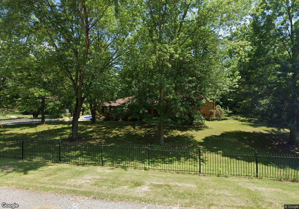
3112 Tenbrook Rd Arnold, MO 63010
Estimated Value: $205,000 - $213,000
--
Bed
1
Bath
960
Sq Ft
$218/Sq Ft
Est. Value
About This Home
This home is located at 3112 Tenbrook Rd, Arnold, MO 63010 and is currently estimated at $209,283, approximately $218 per square foot. 3112 Tenbrook Rd is a home located in Jefferson County with nearby schools including Rockport Heights Elementary School, Fox Middle School, and Fox Senior High School.
Ownership History
Date
Name
Owned For
Owner Type
Purchase Details
Closed on
Jan 15, 2021
Sold by
Spencer Bill
Bought by
Wynn Casey L
Current Estimated Value
Home Financials for this Owner
Home Financials are based on the most recent Mortgage that was taken out on this home.
Original Mortgage
$142,000
Outstanding Balance
$126,735
Interest Rate
2.71%
Mortgage Type
New Conventional
Estimated Equity
$82,548
Create a Home Valuation Report for This Property
The Home Valuation Report is an in-depth analysis detailing your home's value as well as a comparison with similar homes in the area
Home Values in the Area
Average Home Value in this Area
Purchase History
| Date | Buyer | Sale Price | Title Company |
|---|---|---|---|
| Wynn Casey L | -- | Touchstone Title & Abstract |
Source: Public Records
Mortgage History
| Date | Status | Borrower | Loan Amount |
|---|---|---|---|
| Open | Wynn Casey L | $142,000 |
Source: Public Records
Tax History Compared to Growth
Tax History
| Year | Tax Paid | Tax Assessment Tax Assessment Total Assessment is a certain percentage of the fair market value that is determined by local assessors to be the total taxable value of land and additions on the property. | Land | Improvement |
|---|---|---|---|---|
| 2025 | $993 | $15,300 | $2,300 | $13,000 |
| 2024 | $993 | $14,200 | $2,300 | $11,900 |
| 2023 | $993 | $14,200 | $2,300 | $11,900 |
| 2022 | $1,013 | $14,200 | $2,300 | $11,900 |
| 2021 | $1,013 | $14,200 | $2,300 | $11,900 |
| 2020 | $947 | $12,600 | $1,900 | $10,700 |
| 2019 | $950 | $12,600 | $1,900 | $10,700 |
| 2018 | $944 | $12,600 | $1,900 | $10,700 |
| 2017 | $958 | $12,600 | $1,900 | $10,700 |
| 2016 | $816 | $11,500 | $1,900 | $9,600 |
| 2015 | $818 | $11,500 | $1,900 | $9,600 |
| 2013 | -- | $11,100 | $1,900 | $9,200 |
Source: Public Records
Map
Nearby Homes
- 1347 Libra Dr
- 0 Unknown Unit 22001740
- 0 Unknown Unit 22001753
- 0 Unknown Unit 22071117
- 0 Unknown Unit 22001730
- 0 Unknown Unit 22071145
- 0 Unknown Unit 21017758
- 1125 Foxwood Estates Dr
- 2825 Sherry Dr
- 1319 Tony Dr
- 782 Sur Vista Dr
- 18 Pleasant Valley Terrace
- 1419 Fox Ridge Ct
- 3270 Bayvue Blvd
- 170 Bogey Blvd
- 1385 Fox Ridge Ct
- 164 Bogey Blvd
- 344 Bramtonn Place
- 1322 Rockwood Forest Dr
- 1013 Loretta Dr
- 3106 Tenbrook Rd
- 3098 Tenbrook Rd
- 3092 Tenbrook Rd
- 3074 Tenbrook Rd
- 1335 Libra Dr
- 1339 Libra Dr
- 1343 Libra Dr
- 1331 Libra Dr
- 3068 Tenbrook Rd
- 1327 Libra Dr
- 3062 Tenbrook Rd
- 2859 Aquarius Dr
- 3050 Tenbrook Rd
- 3242 Tenbrook Rd
- 3080 Tenbrook Rd
- 1344 Libra Dr
- 1338 Libra Dr
- 1340 Libra Dr
- 3056 Tenbrook Rd
- 1334 Libra Dr