3113 Mannheim Ave Mays Landing, NJ 08330
Estimated Value: $373,421 - $430,000
--
Bed
--
Bath
1,475
Sq Ft
$272/Sq Ft
Est. Value
About This Home
This home is located at 3113 Mannheim Ave, Mays Landing, NJ 08330 and is currently estimated at $401,711, approximately $272 per square foot. 3113 Mannheim Ave is a home located in Atlantic County with nearby schools including George L. Hess Educational Complex, Joseph Shaner School, and William Davies Middle School.
Ownership History
Date
Name
Owned For
Owner Type
Purchase Details
Closed on
Jul 13, 2007
Sold by
Fink Robert J
Bought by
Fink Robert J and Fink Angela M
Current Estimated Value
Home Financials for this Owner
Home Financials are based on the most recent Mortgage that was taken out on this home.
Original Mortgage
$195,000
Interest Rate
6.54%
Mortgage Type
New Conventional
Purchase Details
Closed on
May 28, 2005
Sold by
Fink Robert and Fink William
Bought by
Fink C Robert
Create a Home Valuation Report for This Property
The Home Valuation Report is an in-depth analysis detailing your home's value as well as a comparison with similar homes in the area
Home Values in the Area
Average Home Value in this Area
Purchase History
| Date | Buyer | Sale Price | Title Company |
|---|---|---|---|
| Fink Robert J | -- | Equity Plus Title Agency Llc | |
| Fink C Robert | -- | -- |
Source: Public Records
Mortgage History
| Date | Status | Borrower | Loan Amount |
|---|---|---|---|
| Closed | Fink Robert J | $195,000 |
Source: Public Records
Tax History Compared to Growth
Tax History
| Year | Tax Paid | Tax Assessment Tax Assessment Total Assessment is a certain percentage of the fair market value that is determined by local assessors to be the total taxable value of land and additions on the property. | Land | Improvement |
|---|---|---|---|---|
| 2025 | $7,785 | $226,900 | $64,000 | $162,900 |
| 2024 | $7,785 | $226,900 | $64,000 | $162,900 |
| 2023 | $7,320 | $226,900 | $64,000 | $162,900 |
| 2022 | $7,320 | $226,900 | $64,000 | $162,900 |
| 2021 | $7,304 | $226,900 | $64,000 | $162,900 |
| 2020 | $7,304 | $226,900 | $64,000 | $162,900 |
| 2019 | $7,322 | $226,900 | $64,000 | $162,900 |
| 2018 | $7,066 | $226,900 | $64,000 | $162,900 |
| 2017 | $6,954 | $226,900 | $64,000 | $162,900 |
| 2016 | $6,759 | $226,900 | $64,000 | $162,900 |
| 2015 | $6,530 | $226,900 | $64,000 | $162,900 |
| 2014 | $6,465 | $246,100 | $75,100 | $171,000 |
Source: Public Records
Map
Nearby Homes
- 0 Drosera Ave
- 535 Country Club Dr
- 667 Pine Valley Ct
- 2580 Wrangleboro Rd
- 2425 Lahn Ln
- 280 W Turner Ave Unit T280
- 519 S English Creek Rd
- 270 W Todd Ave
- 294 W White Horse Pike
- 304 S Edwards Ave
- 2619 Durango Ct Unit 910
- 2619 Boulder Ct
- 2614 Cologne Ave
- 00 Aloe St
- 252 W White Horse Pike
- 3514 Woodlands Dr Unit 51
- 3137 Woodlands Dr Unit 3137
- 3110 Woodlands Dr
- 252 Terry Ln
- 345 S Cologne Ave
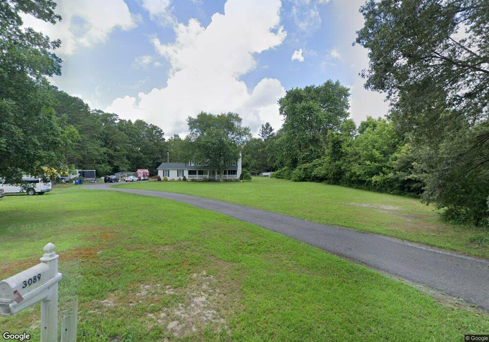
- 3089 Mannheim Ave
- 3046 Mannheim Ave
- 3054 Mannheim Ave
- 3036 Mannheim Ave
- 3137 Mannheim Ave
- 3065 Mannheim Ave
- 3060 Mannheim Ave
- 3072 Mannheim Ave
- 3026 Mannheim Ave
- 3169 Mannheim Ave
- 3080 Mannheim Ave
- 3148 Pontiac Ave
- 3183 Mannheim Ave
- 3160 Mannheim Ave
- 3072 Prague Ave
- 3124 Prague Ave
- 4263 Drosera St
- 4211 Drosera St
- 4233 Drosera Ave
- 4176 Drosera Ave