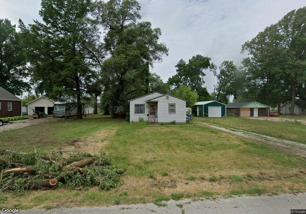
3113 S 13th St Unit 1 Springfield, IL 62703
Estimated Value: $93,981 - $107,000
Studio
--
Bath
--
Sq Ft
13,504
Sq Ft Lot
About This Home
This home is located at 3113 S 13th St Unit 1, Springfield, IL 62703 and is currently estimated at $99,745. 3113 S 13th St Unit 1 is a home located in Sangamon County with nearby schools including Edwin A. Lee Elementary School, Jefferson Middle School, and Springfield Southeast High School.
Ownership History
Date
Name
Owned For
Owner Type
Purchase Details
Closed on
Sep 5, 2024
Sold by
Harbour David S and Harbour Michelle D
Bought by
Jones Edward R and Jones Lynette M
Current Estimated Value
Purchase Details
Closed on
Sep 20, 2023
Sold by
Harbour Mary Alice
Bought by
Harbour David Scott and Harbour Michelle Diane
Purchase Details
Closed on
Aug 31, 2023
Sold by
Harbour Mary Alice
Bought by
Harbour David Scott and Harbour Michelle Diane
Create a Home Valuation Report for This Property
The Home Valuation Report is an in-depth analysis detailing your home's value as well as a comparison with similar homes in the area
Purchase History
| Date | Buyer | Sale Price | Title Company |
|---|---|---|---|
| Jones Edward R | $35,000 | None Listed On Document | |
| Harbour David Scott | -- | None Listed On Document | |
| Harbour David Scott | -- | None Listed On Document |
Source: Public Records
Tax History
| Year | Tax Paid | Tax Assessment Tax Assessment Total Assessment is a certain percentage of the fair market value that is determined by local assessors to be the total taxable value of land and additions on the property. | Land | Improvement |
|---|---|---|---|---|
| 2024 | $1,911 | $23,719 | $13,356 | $10,363 |
| 2023 | $935 | $21,962 | $12,367 | $9,595 |
| 2022 | $846 | $20,783 | $11,703 | $9,080 |
| 2021 | $782 | $19,968 | $11,244 | $8,724 |
| 2020 | $744 | $19,751 | $11,122 | $8,629 |
| 2019 | $701 | $19,405 | $10,927 | $8,478 |
| 2018 | $649 | $19,322 | $10,880 | $8,442 |
| 2017 | $644 | $19,025 | $10,713 | $8,312 |
| 2016 | $601 | $18,533 | $10,436 | $8,097 |
| 2015 | $570 | $18,114 | $10,200 | $7,914 |
| 2014 | $553 | $17,963 | $10,115 | $7,848 |
| 2013 | $554 | $18,155 | $10,223 | $7,932 |
Source: Public Records
Map
Nearby Homes
- 1527 Chalmers St Unit 1
- 2942 S 11th St
- 17 Celeste Ct
- 3305 Saint Francis Dr
- 3001 Hoover Ave
- 2941 Hoover Ave
- 2856 S Hoover Ave Unit 1
- 2800 S Woodward St
- 3300 Stanton St Unit 1
- 3100 S 5th St Unit 1
- 3236 S 5th St Unit 1
- 817 E Stanford Ave
- 3100 Butler St Unit 1833
- 1913 E Hood St Unit 1
- 2800 Via Rosso St Unit 146
- 2800 Via Rosso St Unit 147
- 2800 Via Rosso St Unit 605
- 3022 S 3rd St Unit 1
- 3420 S 4th St Unit 1
- 2623 S 7th St
- 3117 S 13th St
- 3105 S 13th St Unit 1
- 3119 S 13th St
- 3103 S 13th St Unit 1
- 3116 S 13th St
- 3106 S 13th St
- 3110 S 13th St Unit 1
- 3121 S 13th St
- 3104 S 13th St Unit 1
- 3102 S 13th St
- 3110 S 12th St
- 3110 S 12th St Unit 1
- 3112 S 12th St Unit 1
- 3116 S 12th St
- 1210 E Cottonwood St
- 1306 E Cottonwood St Unit 1
- 1219 E Cottonwood St
- 1308 E Cottonwood St Unit 1
- 3120 S 12th St Unit 1
- 3122 S 12th St Unit 1
Your Personal Tour Guide
Ask me questions while you tour the home.