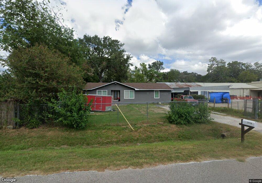
3114 Wheat St Houston, TX 77038
North Houston NeighborhoodEstimated Value: $161,000 - $237,000
3
Beds
1
Bath
1,284
Sq Ft
$146/Sq Ft
Est. Value
About This Home
This home is located at 3114 Wheat St, Houston, TX 77038 and is currently estimated at $186,907, approximately $145 per square foot. 3114 Wheat St is a home located in Harris County with nearby schools including Kujawa EC/Pre-K/K School, Wilson Intermediate School, and Shotwell Middle School.
Ownership History
Date
Name
Owned For
Owner Type
Purchase Details
Closed on
Dec 4, 2003
Sold by
Winslow Charles A
Bought by
Winslow Sherry A
Current Estimated Value
Purchase Details
Closed on
May 19, 1998
Sold by
Currey Doris
Bought by
Winslow Charles A and Winslow Sherry A
Home Financials for this Owner
Home Financials are based on the most recent Mortgage that was taken out on this home.
Original Mortgage
$30,000
Interest Rate
7.06%
Mortgage Type
Seller Take Back
Create a Home Valuation Report for This Property
The Home Valuation Report is an in-depth analysis detailing your home's value as well as a comparison with similar homes in the area
Home Values in the Area
Average Home Value in this Area
Purchase History
| Date | Buyer | Sale Price | Title Company |
|---|---|---|---|
| Winslow Sherry A | -- | -- | |
| Winslow Charles A | -- | -- |
Source: Public Records
Mortgage History
| Date | Status | Borrower | Loan Amount |
|---|---|---|---|
| Previous Owner | Winslow Charles A | $30,000 | |
| Closed | Winslow Sherry A | $0 |
Source: Public Records
Tax History Compared to Growth
Tax History
| Year | Tax Paid | Tax Assessment Tax Assessment Total Assessment is a certain percentage of the fair market value that is determined by local assessors to be the total taxable value of land and additions on the property. | Land | Improvement |
|---|---|---|---|---|
| 2025 | $1,672 | $92,706 | $36,663 | $56,043 |
| 2024 | $1,672 | $86,405 | $39,930 | $46,475 |
| 2023 | $1,672 | $83,063 | $26,136 | $56,927 |
| 2022 | $1,664 | $80,914 | $26,136 | $54,778 |
| 2021 | $1,744 | $80,914 | $19,965 | $60,949 |
| 2020 | $1,368 | $60,210 | $19,965 | $40,245 |
| 2019 | $1,576 | $66,270 | $31,450 | $34,820 |
| 2018 | $854 | $59,475 | $31,450 | $28,025 |
| 2017 | $1,348 | $59,475 | $31,450 | $28,025 |
| 2016 | $1,225 | $54,070 | $25,381 | $28,689 |
| 2015 | $1,198 | $47,948 | $22,070 | $25,878 |
| 2014 | $1,198 | $53,728 | $22,070 | $31,658 |
Source: Public Records
Map
Nearby Homes
- 13308 Ann Louise Rd
- 2919 Sunwood Dr
- 3240 Brownie Campbell Rd
- 13803 Bearwood Rd
- 2719 Magnolia Hill Trail
- 2835 Oakland Brook St
- 2831 Oakland Brook St
- 2838 Packard Elm St
- 3127 Frick Rd
- 2811 Oakland Brook St
- 2530 Woodtown Dr
- 13518 Kaltenbrun Rd
- 14003 Valley Grove Dr
- 13610 Kaltenbrun Rd
- 3265 Frick Rd
- 12611 Landon Light Ln
- 2614 Lemonwood Ln
- 14118 Magnolia Springs Dr
- 10915 Meadow Walk Ln
- 2322 Hadden Hollow Dr
- 3118 Wheat St
- 3115 Wheat St
- 13425 Sundale Rd
- 3134 Wheat St
- 13421 Sundale Rd
- 3137 Wheat St
- 3123 Wheat St
- 13525 Sundale Rd
- 13506 Sundale Rd
- 13418 Sundale Rd
- 3147 Wheat St
- 13411 Sundale Rd
- 13410 Sundale Rd Unit 1
- 13329 Sundale Rd
- 3155 Wheat St
- 13600 Sundale Rd
- 13510 Ann Louise Rd
- 13602 Ann Louise Rd
- 13602 Ann Louise Rd
- 13402 Ann Louise Rd