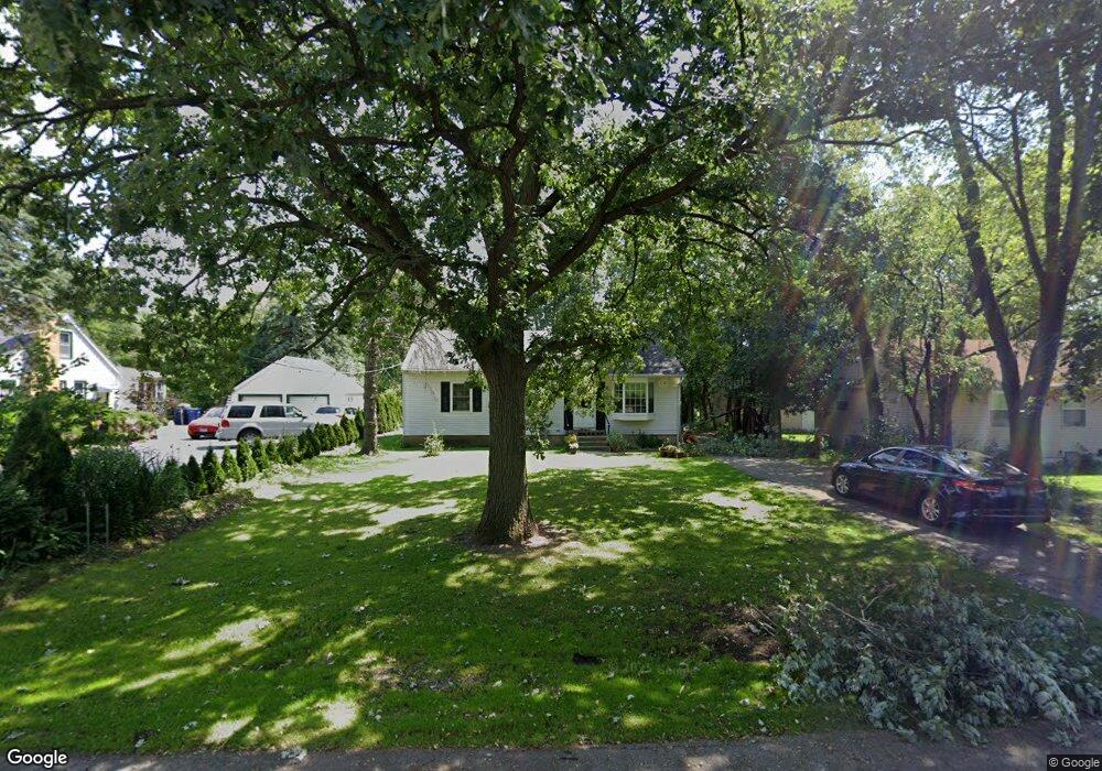
3115 Cornell Rd Waukegan, IL 60087
Lake County Gardens NeighborhoodEstimated Value: $233,000 - $260,000
4
Beds
1
Bath
1,025
Sq Ft
$236/Sq Ft
Est. Value
About This Home
This home is located at 3115 Cornell Rd, Waukegan, IL 60087 and is currently estimated at $241,596, approximately $235 per square foot. 3115 Cornell Rd is a home located in Lake County with nearby schools including H R McCall Elementary School, Jack Benny Middle School, and Waukegan High School.
Ownership History
Date
Name
Owned For
Owner Type
Purchase Details
Closed on
Apr 23, 2004
Sold by
Cochrane Sheila R
Bought by
Ferrigan Sheila R
Current Estimated Value
Home Financials for this Owner
Home Financials are based on the most recent Mortgage that was taken out on this home.
Original Mortgage
$66,000
Outstanding Balance
$31,599
Interest Rate
5.91%
Mortgage Type
Purchase Money Mortgage
Estimated Equity
$209,997
Create a Home Valuation Report for This Property
The Home Valuation Report is an in-depth analysis detailing your home's value as well as a comparison with similar homes in the area
Home Values in the Area
Average Home Value in this Area
Purchase History
| Date | Buyer | Sale Price | Title Company |
|---|---|---|---|
| Ferrigan Sheila R | -- | -- |
Source: Public Records
Mortgage History
| Date | Status | Borrower | Loan Amount |
|---|---|---|---|
| Open | Ferrigan Sheila R | $66,000 |
Source: Public Records
Tax History Compared to Growth
Tax History
| Year | Tax Paid | Tax Assessment Tax Assessment Total Assessment is a certain percentage of the fair market value that is determined by local assessors to be the total taxable value of land and additions on the property. | Land | Improvement |
|---|---|---|---|---|
| 2024 | $4,203 | $58,721 | $11,058 | $47,663 |
| 2023 | $3,946 | $52,573 | $9,900 | $42,673 |
| 2022 | $3,946 | $46,362 | $7,802 | $38,560 |
| 2021 | $3,386 | $38,481 | $6,350 | $32,131 |
| 2020 | $3,384 | $35,850 | $5,916 | $29,934 |
| 2019 | $3,356 | $32,851 | $5,421 | $27,430 |
| 2018 | $4,192 | $38,781 | $7,671 | $31,110 |
| 2017 | $4,030 | $34,311 | $6,787 | $27,524 |
| 2016 | $3,683 | $29,815 | $5,898 | $23,917 |
| 2015 | $3,494 | $26,685 | $5,279 | $21,406 |
| 2014 | $2,818 | $22,195 | $3,274 | $18,921 |
| 2012 | $3,713 | $24,046 | $3,547 | $20,499 |
Source: Public Records
Map
Nearby Homes
- 1636 Rice St
- 37966 N Cornell Rd
- 3211 Rugby Ct
- 3411 N Lewis Ave
- 1612 Whitney St
- 37905 N Loyola Ave
- 38127 N Shore Ave
- 38362 N Manor Ave
- 2613 N Lewis Ave
- 3101 Country Club Ln
- 1730 W Beach Rd
- 2350 N Lewis Ave
- 38683 N Lewis Ave
- 38697 N Cedar Ave
- 12312 W Audrey Ave
- 10241 W Bairstow Ave
- 2708 Dana Ave
- 2705 Dana Ave
- 11345 W Carnahan Ave
- 2232 Walnut St
- 3111 Cornell Rd
- 3117 Cornell Rd
- 1704 Macarthur Dr
- 3101 Cornell Rd
- 1700 Macarthur Dr
- 1610 Macarthur Dr
- 3127 Cornell Rd
- 3124 N Cornell Rd
- 3131 Cornell Rd
- 3124 Cornell Rd Unit E
- 3124 Cornell Rd Unit W
- 3124 Cornell Rd
- 1604 Macarthur Dr
- 3112 Cornell Rd
- 3116 Cornell Rd
- 1619 Macarthur Dr
- 3120 Cornell Rd
- 1617 Macarthur Dr
- 3128 Cornell Rd
- 3100 Cornell Rd