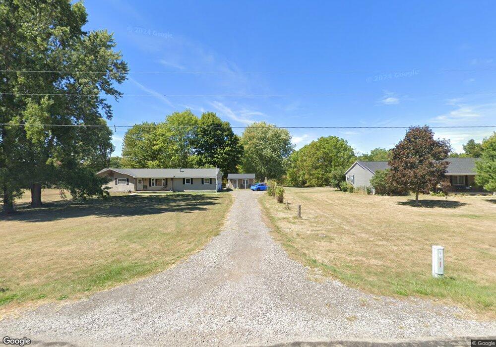
3115 Stringtown Rd NW Lancaster, OH 43130
Estimated Value: $280,000 - $309,000
3
Beds
1
Bath
1,200
Sq Ft
$243/Sq Ft
Est. Value
About This Home
This home is located at 3115 Stringtown Rd NW, Lancaster, OH 43130 and is currently estimated at $291,302, approximately $242 per square foot. 3115 Stringtown Rd NW is a home located in Fairfield County with nearby schools including Bloom Carroll Primary School, Bloom Carroll Intermediate School, and Bloom-Carroll Middle School.
Ownership History
Date
Name
Owned For
Owner Type
Purchase Details
Closed on
Feb 5, 2021
Sold by
Williams Randal S
Bought by
Williams Ashley Nicole
Current Estimated Value
Home Financials for this Owner
Home Financials are based on the most recent Mortgage that was taken out on this home.
Original Mortgage
$150,000
Outstanding Balance
$132,367
Interest Rate
2.6%
Mortgage Type
New Conventional
Estimated Equity
$158,935
Purchase Details
Closed on
Jun 1, 2012
Sold by
Williams Holly S
Bought by
Williams Randal S Scott
Create a Home Valuation Report for This Property
The Home Valuation Report is an in-depth analysis detailing your home's value as well as a comparison with similar homes in the area
Purchase History
| Date | Buyer | Sale Price | Title Company |
|---|---|---|---|
| Williams Ashley Nicole | $200,000 | Valmer Land Title Agency | |
| Williams Randal S Scott | -- | Attorney |
Source: Public Records
Mortgage History
| Date | Status | Borrower | Loan Amount |
|---|---|---|---|
| Open | Williams Ashley Nicole | $150,000 |
Source: Public Records
Tax History
| Year | Tax Paid | Tax Assessment Tax Assessment Total Assessment is a certain percentage of the fair market value that is determined by local assessors to be the total taxable value of land and additions on the property. | Land | Improvement |
|---|---|---|---|---|
| 2025 | $5,680 | $95,140 | $32,960 | $62,180 |
| 2024 | $5,680 | $70,380 | $23,480 | $46,900 |
| 2023 | $3,073 | $70,380 | $23,480 | $46,900 |
| 2022 | $3,095 | $70,380 | $23,480 | $46,900 |
| 2021 | $2,419 | $53,960 | $19,570 | $34,390 |
| 2020 | $2,449 | $53,960 | $19,570 | $34,390 |
| 2019 | $2,459 | $53,960 | $19,570 | $34,390 |
| 2018 | $1,911 | $39,600 | $15,650 | $23,950 |
| 2017 | $1,793 | $43,090 | $15,650 | $27,440 |
| 2016 | $1,740 | $43,090 | $15,650 | $27,440 |
| 2015 | $1,684 | $40,610 | $15,650 | $24,960 |
| 2014 | $1,609 | $40,610 | $15,650 | $24,960 |
| 2013 | $1,609 | $40,610 | $15,650 | $24,960 |
Source: Public Records
Map
Nearby Homes
- 2927 Lancaster-Kirkersville Rd NW
- 0 Tschopp Rd NE Unit Lot 17 225027320
- 0 Tschopp Rd NE Unit Lot 33 225027324
- 3485 Lancaster-Kirkersville Rd NW
- 245 Rainbow Dr NE
- 0 Fremar Rd NE Unit Lot1 225007256
- 850 Marquette Dr NE
- 0 Marquette Dr NE Unit Lot 16 225027323
- 0 Marquette Dr NE Unit Lot 5
- 0 Marquette Dr NE Unit Lot 4 225007276
- 1295 Ginder Rd NW
- 4070 Tschopp Rd NE
- 2370 Scenic Dr NE
- 0 Stringtown Rd NW
- 1826 Pleasantview Dr NE
- 1916 Country Place
- 1908 Branch Place
- 0 Old Millersport Rd NE Unit 225010386
- 1800 Ginder Rd NW
- 2422 Long Bow Ave
- 3141 Stringtown Rd NW
- 3087 Stringtown Rd NW
- 3098 Stringtown Rd NE
- 3167 Stringtown Rd NW
- 3385 Stringtown Rd NW
- 3349 Stringtown Rd NW
- 50 Coonpath Rd NW
- 20 Coonpath Rd NE
- 100 Coonpath Rd NW
- 3196 Stringtown Rd NE
- 0 Coonpath Rd NW
- 0 Coonpath Rd NW Unit 2623828
- 0 Coonpath Rd NW Unit 2447344
- 0 Coonpath Rd NW Unit 2432775
- 0 Coonpath Rd NW Unit 2131582
- 0 Coonpath Rd NW Unit 7 9707259
- 0 Coonpath Rd NW Unit 31938
- 0 Coonpath Rd NW Unit Tract 7 224028097
- 0 Coonpath Rd NW Unit Tract 4 224028093
- 0 Coonpath Rd NW Unit 213032705
Your Personal Tour Guide
Ask me questions while you tour the home.