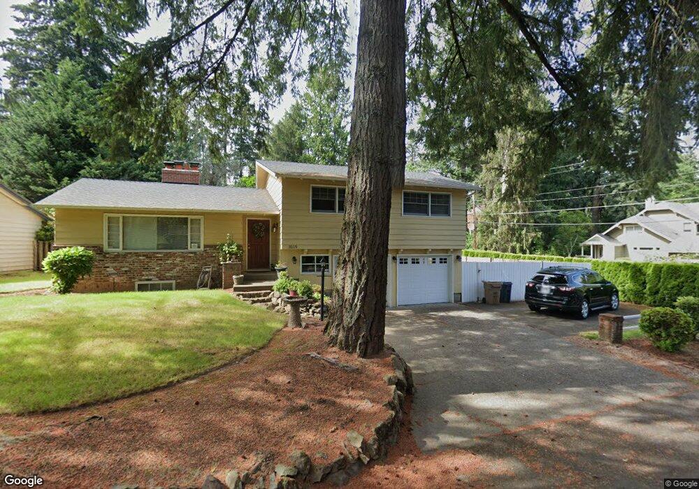
3115 Upper Dr Lake Oswego, OR 97035
Lake Grove NeighborhoodEstimated Value: $816,000 - $1,215,000
3
Beds
2
Baths
2,524
Sq Ft
$386/Sq Ft
Est. Value
About This Home
This home is located at 3115 Upper Dr, Lake Oswego, OR 97035 and is currently estimated at $973,914, approximately $385 per square foot. 3115 Upper Dr is a home located in Clackamas County with nearby schools including Lake Grove Elementary School, Lake Oswego Junior High School, and Lake Oswego Senior High School.
Ownership History
Date
Name
Owned For
Owner Type
Purchase Details
Closed on
Apr 27, 2015
Sold by
Kavorinos John A and Kavorinos Martha O
Bought by
John & Martha Kavorinos Family Trust
Current Estimated Value
Purchase Details
Closed on
Oct 19, 1995
Sold by
Hoffman Phyllis A and Henderson Phyllis A
Bought by
Kavorinos John A and Kavorinos Martha O
Home Financials for this Owner
Home Financials are based on the most recent Mortgage that was taken out on this home.
Original Mortgage
$139,200
Interest Rate
7.67%
Create a Home Valuation Report for This Property
The Home Valuation Report is an in-depth analysis detailing your home's value as well as a comparison with similar homes in the area
Home Values in the Area
Average Home Value in this Area
Purchase History
| Date | Buyer | Sale Price | Title Company |
|---|---|---|---|
| John & Martha Kavorinos Family Trust | -- | None Available | |
| Kavorinos John A | $174,000 | Transamerica Title Insurance |
Source: Public Records
Mortgage History
| Date | Status | Borrower | Loan Amount |
|---|---|---|---|
| Closed | Kavorinos John A | $139,200 |
Source: Public Records
Tax History
| Year | Tax Paid | Tax Assessment Tax Assessment Total Assessment is a certain percentage of the fair market value that is determined by local assessors to be the total taxable value of land and additions on the property. | Land | Improvement |
|---|---|---|---|---|
| 2025 | $6,573 | $342,269 | -- | -- |
| 2024 | $6,398 | $332,300 | -- | -- |
| 2023 | $6,398 | $322,622 | $0 | $0 |
| 2022 | $6,026 | $313,226 | $0 | $0 |
| 2021 | $5,565 | $304,103 | $0 | $0 |
| 2020 | $5,425 | $295,246 | $0 | $0 |
| 2019 | $5,292 | $286,647 | $0 | $0 |
| 2018 | $5,033 | $278,298 | $0 | $0 |
| 2017 | $4,856 | $270,192 | $0 | $0 |
| 2016 | $4,421 | $262,322 | $0 | $0 |
| 2015 | $4,271 | $254,682 | $0 | $0 |
| 2014 | $4,216 | $247,264 | $0 | $0 |
Source: Public Records
Map
Nearby Homes
- 3012 Lakeview Blvd
- 3525 Lake Grove Ave
- 3537 Lake Grove Ave
- 15370 Twin Fir Rd
- 3600 Lakeview Blvd
- 2164 Summit Dr
- 3850 Lake Grove Ave
- 3884 Lake Grove Ave
- 2240 Summit Ct
- 3676 Spring Ln
- 16038 Reese Rd
- 2815 Arrowhead Ct
- 15003 Twin Fir Rd
- 2560 Glen Eagles Place
- 16840 Alder Cir
- 16871 Greenbrier Rd
- 4225 Oakridge Rd
- 2764 Glen Haven Rd
- 16510 Maple Cir
- 2217 Prestwick Rd
- 3127 Upper Dr
- 15821 Twin Fir Rd
- 3112 Upper Dr
- 15900 Twin Fir Rd
- 3122 Upper Dr
- 15805 Twin Fir Rd
- 15870 Twin Fir Rd
- 3070 Upper Dr
- 15923 Twin Fir Rd
- 3151 Upper Dr
- 3155 Upper Dr
- 3017 Upper Dr
- 3120 Upper Dr
- 3150 Upper Dr
- 15930 Twin Fir Rd
- 3000 Upper Dr
- 15939 Twin Fir Rd
- 15795 Twin Fir Rd
- 15867 Twin Fir Rd
- 15795 Twin Fir Rd
Your Personal Tour Guide
Ask me questions while you tour the home.