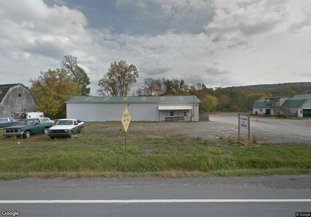
3116 Route 414 Unit 3130 Canton, PA 17724
Estimated Value: $161,613 - $216,000
3
Beds
3
Baths
--
Sq Ft
2.21
Acres
About This Home
This home is located at 3116 Route 414 Unit 3130, Canton, PA 17724 and is currently estimated at $185,204. 3116 Route 414 Unit 3130 is a home located in Bradford County with nearby schools including Canton Area Elementary School and Canton Junior/Senior High School.
Ownership History
Date
Name
Owned For
Owner Type
Purchase Details
Closed on
Mar 10, 2014
Sold by
Baker Family Farm Llc
Bought by
The Gauge C Rockwell Irrevocable Trust
Current Estimated Value
Purchase Details
Closed on
Jun 7, 2013
Sold by
Baker Family Farm Llc
Bought by
Groover Jon R
Home Financials for this Owner
Home Financials are based on the most recent Mortgage that was taken out on this home.
Original Mortgage
$160,000
Interest Rate
3.39%
Mortgage Type
Purchase Money Mortgage
Purchase Details
Closed on
Jan 25, 2013
Sold by
Baker Randy M
Bought by
Baker Family Farm Llc
Purchase Details
Closed on
Feb 8, 2011
Sold by
Baker Randy M and Baker Lori A
Bought by
Baker Randy M
Create a Home Valuation Report for This Property
The Home Valuation Report is an in-depth analysis detailing your home's value as well as a comparison with similar homes in the area
Home Values in the Area
Average Home Value in this Area
Purchase History
| Date | Buyer | Sale Price | Title Company |
|---|---|---|---|
| The Gauge C Rockwell Irrevocable Trust | -- | None Available | |
| Groover Jon R | $185,000 | None Available | |
| Baker Family Farm Llc | -- | None Available | |
| Baker Randy M | -- | None Available |
Source: Public Records
Mortgage History
| Date | Status | Borrower | Loan Amount |
|---|---|---|---|
| Previous Owner | Groover Jon R | $160,000 |
Source: Public Records
Tax History Compared to Growth
Tax History
| Year | Tax Paid | Tax Assessment Tax Assessment Total Assessment is a certain percentage of the fair market value that is determined by local assessors to be the total taxable value of land and additions on the property. | Land | Improvement |
|---|---|---|---|---|
| 2025 | $1,745 | $31,450 | $0 | $0 |
| 2024 | $1,677 | $31,450 | $0 | $0 |
| 2023 | $1,677 | $31,450 | $0 | $0 |
| 2022 | $1,658 | $31,450 | $0 | $0 |
| 2021 | $1,659 | $31,450 | $0 | $0 |
| 2020 | $1,640 | $31,450 | $0 | $0 |
| 2019 | $1,547 | $31,450 | $0 | $0 |
| 2018 | $1,568 | $31,450 | $0 | $0 |
| 2017 | $1,547 | $31,450 | $0 | $0 |
| 2016 | -- | $31,450 | $0 | $0 |
| 2015 | -- | $31,450 | $0 | $0 |
| 2014 | $1,182 | $31,800 | $0 | $0 |
Source: Public Records
Map
Nearby Homes
- 63 Brann St
- 108 S Washington St
- 85 N Minnequa Ave
- 94 N Center St
- 290 Troy St
- 118 E South Ave
- 127 Troy St
- 386 Troy St
- 374 S Minnequa Ave
- 49-51 T-329
- 0 Upper Mountain Rd
- 55 Clinton St
- Upper Mountain Rd Lot Unit WP001
- 19 Lovell Ln
- 1616 W Union St
- 1616 W Union Rd
- 14751 Route 14
- 7129 Route 14
- 417 Furman Rd
- 76 Highlands Ln
- 3116 Route 414
- 3116 Route 414
- 3129 Route 414
- 3170 Route 414
- 1064 Rr1 Rte 414
- 3016 State Route 414
- 221 Pratts Mill Rd
- 2897 State Route 414
- 43 Circus Ln
- 96 Circus Ln
- 807 Southside Rd
- 155 Pratts Mill Rd
- 824 Southside Rd
- 187 Pratts Mill Rd
- 689 Southside Rd
- 1136 Pratts Mill Rd
- 107 Pratts Mill Rd
- 2787 Route 414
- 2771 Route 414
- 11 Pratts Mill Rd