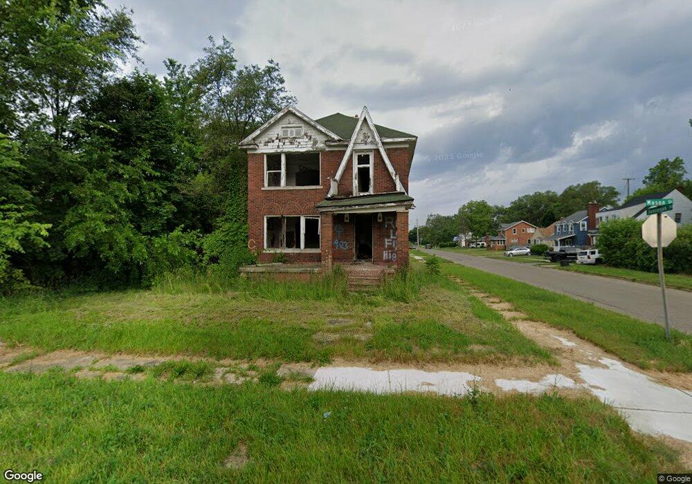
3117 Mason St Flint, MI 48505
King Avenue Plus NeighborhoodEstimated Value: $71,000 - $94,542
--
Bed
2
Baths
1,776
Sq Ft
$46/Sq Ft
Est. Value
About This Home
This home is located at 3117 Mason St, Flint, MI 48505 and is currently estimated at $80,847, approximately $45 per square foot. 3117 Mason St is a home located in Genesee County with nearby schools including Brownell STEM Academy, Greater Heights Academy, and Eagle's Nest Academy.
Ownership History
Date
Name
Owned For
Owner Type
Purchase Details
Closed on
Dec 22, 2014
Sold by
Genesee County Treasurer
Bought by
Genesee County Land Bank
Current Estimated Value
Purchase Details
Closed on
Jun 26, 2006
Sold by
Ecker Buelah P and Ecker Floyd H
Bought by
Williamson Curtis and Williamson Curtis
Purchase Details
Closed on
Sep 27, 2005
Sold by
Fields Curtis
Bought by
Fields Queen
Purchase Details
Closed on
Jan 18, 2003
Sold by
Lewis Barbara J
Bought by
Ecker Floyd H and Ecker Beulah P
Purchase Details
Closed on
Aug 23, 2002
Sold by
Michigan Department Of Natural Resources
Bought by
Ecker Floyd H and Ecker Beulah P
Create a Home Valuation Report for This Property
The Home Valuation Report is an in-depth analysis detailing your home's value as well as a comparison with similar homes in the area
Home Values in the Area
Average Home Value in this Area
Purchase History
| Date | Buyer | Sale Price | Title Company |
|---|---|---|---|
| Genesee County Land Bank | -- | None Available | |
| Williamson Curtis | $80,000 | Guaranty Title Company | |
| Fields Queen | -- | -- | |
| Ecker Floyd H | -- | -- | |
| Ecker Floyd H | $27,700 | -- |
Source: Public Records
Tax History Compared to Growth
Tax History
| Year | Tax Paid | Tax Assessment Tax Assessment Total Assessment is a certain percentage of the fair market value that is determined by local assessors to be the total taxable value of land and additions on the property. | Land | Improvement |
|---|---|---|---|---|
| 2025 | -- | $0 | $0 | $0 |
| 2024 | -- | $0 | $0 | $0 |
| 2023 | -- | $0 | $0 | $0 |
| 2022 | $0 | $0 | $0 | $0 |
| 2021 | $0 | $0 | $0 | $0 |
| 2020 | $0 | $0 | $0 | $0 |
| 2019 | $0 | $0 | $0 | $0 |
| 2018 | $0 | $0 | $0 | $0 |
| 2017 | $0 | $0 | $0 | $0 |
| 2016 | $0 | $0 | $0 | $0 |
| 2015 | -- | $0 | $0 | $0 |
| 2014 | -- | $0 | $0 | $0 |
| 2012 | -- | $16,800 | $0 | $0 |
Source: Public Records
Map
Nearby Homes
- 325 W Dewey St
- 200 W Mcclellan St
- 311 W Genesee St
- 409 W Genesee St
- 2913 Martin Luther King Ave
- 2913
- 218 E Jackson Ave
- 3418 Keyes St
- 115 W Baker St
- 3002 N Chevrolet Ave
- 3312 Buick St
- 2718 N Chevrolet Ave
- 3810 Marvin St
- 3513 Milbourne Ave
- 3002 Proctor St
- 3802 Milbourne Ave
- 506 Green St
- 4006 Donnelly St
- 1209 W Mcclellan St
- 1101 W Rankin St
- 311 W Jamieson St
- 3201 Mason St
- 315 W Jamieson St
- 306 W Mcclellan St
- 302 W McCellan St
- 3112 Mason St
- 312 W Mcclellan St
- 319 W Jamieson St
- 312 W Jamieson St
- 302 W Mcclellan St
- 3207 Mason St
- 314 W Mcclellan St
- 316 W Jamieson St
- 227 W Jamieson St
- 230 W Mcclellan St
- 228 W Jamieson St
- 323 W Jamieson St
- 320 W Jamieson St
- 320 W Mcclellan St
- 3213 Mason St