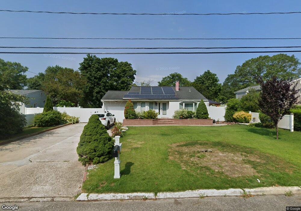
3118 Newport Ave Medford, NY 11763
Estimated Value: $552,162 - $613,000
3
Beds
1
Bath
1,730
Sq Ft
$335/Sq Ft
Est. Value
About This Home
This home is located at 3118 Newport Ave, Medford, NY 11763 and is currently estimated at $580,041, approximately $335 per square foot. 3118 Newport Ave is a home located in Suffolk County with nearby schools including Patchogue-Medford High School and Long Island Baptist Academy.
Ownership History
Date
Name
Owned For
Owner Type
Purchase Details
Closed on
Nov 8, 2013
Sold by
Carrillo Luis U
Bought by
Carrillo Luis U and Torres Adrian L
Current Estimated Value
Purchase Details
Closed on
Feb 19, 1999
Sold by
Greenpoint Bank
Bought by
Carrillo Luis U
Home Financials for this Owner
Home Financials are based on the most recent Mortgage that was taken out on this home.
Original Mortgage
$77,929
Interest Rate
6.76%
Purchase Details
Closed on
Sep 1, 1998
Sold by
Quintanilla Fermin and Quintanilla Luz Marina
Bought by
Greenpoint Bank
Create a Home Valuation Report for This Property
The Home Valuation Report is an in-depth analysis detailing your home's value as well as a comparison with similar homes in the area
Home Values in the Area
Average Home Value in this Area
Purchase History
| Date | Buyer | Sale Price | Title Company |
|---|---|---|---|
| Carrillo Luis U | -- | Fidelity National Title | |
| Carrillo Luis U | $78,000 | Titleserv | |
| Greenpoint Bank | $60,000 | Titleserv |
Source: Public Records
Mortgage History
| Date | Status | Borrower | Loan Amount |
|---|---|---|---|
| Previous Owner | Carrillo Luis U | $77,929 |
Source: Public Records
Tax History Compared to Growth
Tax History
| Year | Tax Paid | Tax Assessment Tax Assessment Total Assessment is a certain percentage of the fair market value that is determined by local assessors to be the total taxable value of land and additions on the property. | Land | Improvement |
|---|---|---|---|---|
| 2024 | $8,714 | $1,975 | $160 | $1,815 |
| 2023 | $8,714 | $1,975 | $160 | $1,815 |
| 2022 | $7,807 | $1,975 | $160 | $1,815 |
| 2021 | $7,807 | $1,975 | $160 | $1,815 |
| 2020 | $8,013 | $1,975 | $160 | $1,815 |
| 2019 | $8,013 | $0 | $0 | $0 |
| 2018 | $7,562 | $1,975 | $160 | $1,815 |
| 2017 | $7,562 | $1,975 | $160 | $1,815 |
| 2016 | $7,412 | $1,975 | $160 | $1,815 |
| 2015 | -- | $1,975 | $160 | $1,815 |
| 2014 | -- | $1,975 | $160 | $1,815 |
Source: Public Records
Map
Nearby Homes
- 1600 Fire Ave
- 3115 Chestnut Ave
- 3106 Devon Ave
- 49 Country Rd
- 3004 New London Ave
- 1401 Race Ave
- 1301 Race Ave
- 1300 Race Ave
- 241 Middle Island Rd
- 1902 Race Ave
- 2905 Beechnut Ave
- 0 Cedar Ln Unit ONE3556748
- 3019 Sipp Ave
- 2405 Fire Ave
- 2816 Acorn Ave
- 3110 Kane Ave
- 2401 Race Ave
- 2909 Falcon Ave
- 3115 Heather Ave
- 392 Birchwood Rd
- 1502 Fire Ave
- 3114 Newport Ave
- 3119 Beechnut Ave
- 1500 Fire Ave
- 3117 Beechnut Ave
- 3112 Newport Ave
- 3119 Newport Ave
- 3115 Beechnut Ave
- 3117 Newport Ave
- 3115 Newport Ave
- 3110 Newport Ave
- 1503 Fire Ave
- 1501 Fire Ave
- 3116 Beechnut Ave
- 3111 Beechnut Ave
- 1402 Fire Ave
- 3116 Chestnut Ave
- 1601 Fire Ave
- 1602 Fire Ave
- 3114 Chestnut Ave