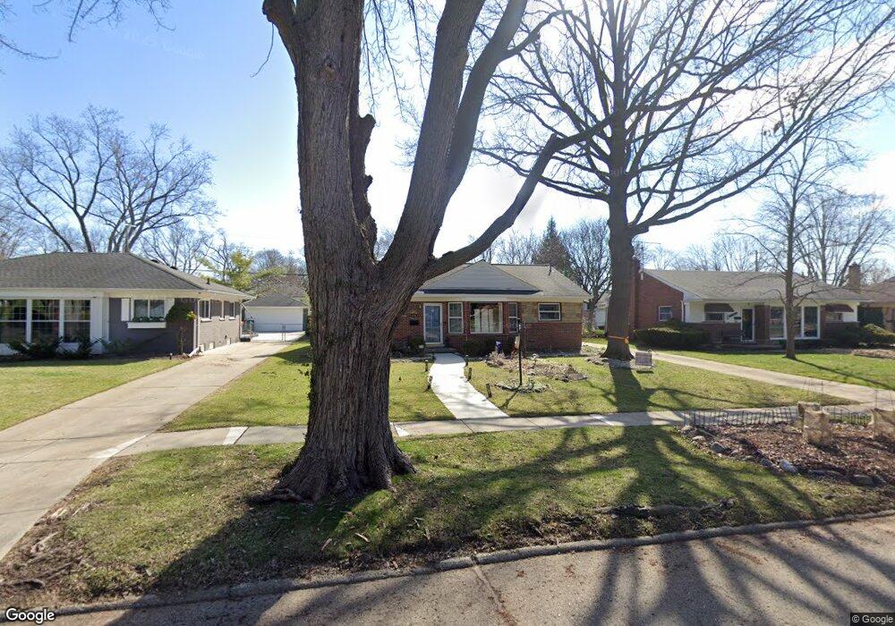
31182 W Rutland St Beverly Hills, MI 48025
Estimated Value: $342,448 - $395,000
3
Beds
1
Bath
1,164
Sq Ft
$325/Sq Ft
Est. Value
About This Home
This home is located at 31182 W Rutland St, Beverly Hills, MI 48025 and is currently estimated at $378,362, approximately $325 per square foot. 31182 W Rutland St is a home located in Oakland County with nearby schools including Wylie E. Groves High School, Greenfield Elementary School, and Berkshire Middle School.
Ownership History
Date
Name
Owned For
Owner Type
Purchase Details
Closed on
Oct 4, 2024
Sold by
Black Margaret Frances
Bought by
Black Margaret Frances and Quinn Theresa
Current Estimated Value
Purchase Details
Closed on
Mar 15, 2007
Sold by
Prudential Relocation Inc
Bought by
Black Margaret F
Purchase Details
Closed on
Mar 13, 2007
Sold by
Murphy Donna E
Bought by
Prudential Relocation Inc
Purchase Details
Closed on
Jul 30, 2004
Sold by
Liesong Mark E and Marilyn L Liesong Revocable Li
Bought by
Murphy Donna E
Home Financials for this Owner
Home Financials are based on the most recent Mortgage that was taken out on this home.
Original Mortgage
$189,050
Interest Rate
4.75%
Mortgage Type
Purchase Money Mortgage
Purchase Details
Closed on
Mar 14, 2000
Sold by
Liesong Fred H
Bought by
Marilyn L Liesong Tr
Create a Home Valuation Report for This Property
The Home Valuation Report is an in-depth analysis detailing your home's value as well as a comparison with similar homes in the area
Home Values in the Area
Average Home Value in this Area
Purchase History
| Date | Buyer | Sale Price | Title Company |
|---|---|---|---|
| Black Margaret Frances | -- | None Listed On Document | |
| Black Margaret F | $187,200 | None Available | |
| Prudential Relocation Inc | $199,000 | None Available | |
| Murphy Donna E | $199,000 | Metropolitan Title Company | |
| Marilyn L Liesong Tr | -- | -- |
Source: Public Records
Mortgage History
| Date | Status | Borrower | Loan Amount |
|---|---|---|---|
| Previous Owner | Murphy Donna E | $189,050 |
Source: Public Records
Tax History Compared to Growth
Tax History
| Year | Tax Paid | Tax Assessment Tax Assessment Total Assessment is a certain percentage of the fair market value that is determined by local assessors to be the total taxable value of land and additions on the property. | Land | Improvement |
|---|---|---|---|---|
| 2024 | $2,988 | $132,140 | $0 | $0 |
| 2023 | $2,867 | $123,200 | $0 | $0 |
| 2022 | $3,109 | $113,440 | $0 | $0 |
| 2021 | $3,135 | $107,630 | $0 | $0 |
| 2020 | $2,626 | $102,090 | $0 | $0 |
| 2019 | $2,075 | $98,140 | $0 | $0 |
| 2018 | $3,061 | $90,870 | $0 | $0 |
| 2017 | $3,043 | $90,870 | $0 | $0 |
| 2016 | $3,048 | $83,690 | $0 | $0 |
| 2015 | -- | $81,270 | $0 | $0 |
| 2014 | -- | $78,680 | $0 | $0 |
| 2011 | -- | $64,440 | $0 | $0 |
Source: Public Records
Map
Nearby Homes
- 17220 W 13 Mile Rd
- 17058 W 13 Mile Rd
- 17409 W 13 Mile Rd
- 17469 W 13 Mile Rd
- 31220 Sheridan Dr
- 16927 Beverly Rd
- 30201 Canterbury Dr
- 30212 Southfield Rd Unit 237
- 30240 Southfield Rd Unit 174
- 30559 Fairfax St
- 17455 Kinross Ave
- 32210 Sheridan Dr
- 30798 Brentwood St
- 31607 Auburn Dr
- 18240 Webster Ave
- 30190 Northgate Dr
- 30301 Spring River Dr
- 3311 Ellwood Ave
- 29945 Everett St
- 29809 N Bedford St
- 31200 W Rutland St
- 31162 W Rutland St
- 31222 W Rutland St
- 31142 W Rutland St
- 31179 E Rutland St
- 31199 E Rutland St
- 31159 E Rutland St
- 31219 E Rutland St
- 31139 E Rutland St
- 31242 W Rutland St
- 31122 W Rutland St
- 31175 W Rutland St
- 31195 W Rutland St
- 31155 W Rutland St
- 31215 W Rutland St
- 31239 E Rutland St
- 31119 E Rutland St
- 31262 W Rutland St
- 31235 W Rutland St
- 31259 E Rutland St