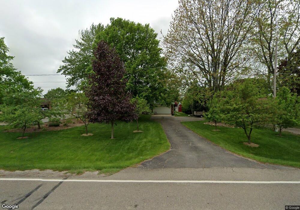
3119 Dillon Rd Flushing, MI 48433
Estimated Value: $212,674 - $271,000
Studio
1
Bath
1,488
Sq Ft
$159/Sq Ft
Est. Value
About This Home
This home is located at 3119 Dillon Rd, Flushing, MI 48433 and is currently estimated at $237,169, approximately $159 per square foot. 3119 Dillon Rd is a home located in Genesee County with nearby schools including Seymour Elementary School, Flushing Middle School, and Flushing High School.
Ownership History
Date
Name
Owned For
Owner Type
Purchase Details
Closed on
Mar 30, 2007
Sold by
Durance Donald E and Durance Beverly J
Bought by
Taylor Paul E
Current Estimated Value
Purchase Details
Closed on
Jun 12, 2001
Sold by
Durance Donald E and Durance Beverly J
Bought by
The Donald E & Beverly J Durance Revocab
Create a Home Valuation Report for This Property
The Home Valuation Report is an in-depth analysis detailing your home's value as well as a comparison with similar homes in the area
Home Values in the Area
Average Home Value in this Area
Purchase History
| Date | Buyer | Sale Price | Title Company |
|---|---|---|---|
| Taylor Paul E | $145,000 | Metropolitan Title Company | |
| The Donald E & Beverly J Durance Revocab | -- | -- |
Source: Public Records
Tax History
| Year | Tax Paid | Tax Assessment Tax Assessment Total Assessment is a certain percentage of the fair market value that is determined by local assessors to be the total taxable value of land and additions on the property. | Land | Improvement |
|---|---|---|---|---|
| 2025 | $2,233 | $96,300 | $0 | $0 |
| 2024 | $1,177 | $89,000 | $0 | $0 |
| 2023 | $1,123 | $82,800 | $0 | $0 |
| 2022 | $2,005 | $74,500 | $0 | $0 |
| 2021 | $1,964 | $70,000 | $0 | $0 |
| 2020 | $1,045 | $66,200 | $0 | $0 |
| 2019 | $1,034 | $60,300 | $0 | $0 |
| 2018 | $1,838 | $55,300 | $0 | $0 |
| 2017 | $915 | $55,300 | $0 | $0 |
| 2016 | $1,684 | $53,200 | $0 | $0 |
| 2015 | $1,541 | $52,300 | $0 | $0 |
| 2014 | $900 | $49,800 | $0 | $0 |
| 2012 | -- | $46,700 | $46,700 | $0 |
Source: Public Records
Map
Nearby Homes
- 3500 Woodridge Ct
- 468 Windy Bluff
- 223 Primrose Ln
- 219 Primrose Ln
- 11358 W Carpenter Rd Rd
- 1446 van Vleet Rd
- 000 Potter Rd
- 229 Aberdeen Ct
- 241 Aberdeen Ct Unit 11 bldg 6
- 100 Aberdeen Dr Unit 36
- 10101 Carpenter Rd
- 0 Winters Eave Dr Unit 50117986
- 1282 N van Vleet Rd
- 321 Terrace Dr
- 608 Autumn Dr
- 6289 W River Rd
- 0 E River Rd Unit 50180952
- 210 Mary St
- 8110 Calkins Rd
- 218 S Cherry St
Your Personal Tour Guide
Ask me questions while you tour the home.