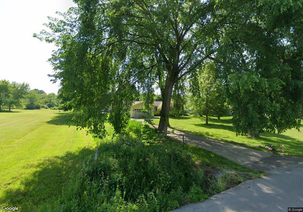
3119 Houston Rd Norton, OH 44203
Estimated Value: $197,607 - $243,000
3
Beds
1
Bath
1,040
Sq Ft
$204/Sq Ft
Est. Value
About This Home
This home is located at 3119 Houston Rd, Norton, OH 44203 and is currently estimated at $211,902, approximately $203 per square foot. 3119 Houston Rd is a home located in Summit County with nearby schools including Norton Primary Elementary School, Norton Middle School, and Norton High School.
Ownership History
Date
Name
Owned For
Owner Type
Purchase Details
Closed on
Mar 31, 2020
Sold by
Unknown
Bought by
Skolnik Richard and Skolnik Dianne
Current Estimated Value
Create a Home Valuation Report for This Property
The Home Valuation Report is an in-depth analysis detailing your home's value as well as a comparison with similar homes in the area
Home Values in the Area
Average Home Value in this Area
Purchase History
| Date | Buyer | Sale Price | Title Company |
|---|---|---|---|
| Skolnik Richard | -- | -- |
Source: Public Records
Tax History
| Year | Tax Paid | Tax Assessment Tax Assessment Total Assessment is a certain percentage of the fair market value that is determined by local assessors to be the total taxable value of land and additions on the property. | Land | Improvement |
|---|---|---|---|---|
| 2025 | $1,627 | $48,727 | $8,659 | $40,068 |
| 2024 | $1,627 | $48,727 | $8,659 | $40,068 |
| 2023 | $1,627 | $48,727 | $8,659 | $40,068 |
| 2022 | $1,720 | $43,092 | $7,595 | $35,497 |
| 2021 | $1,728 | $43,092 | $7,595 | $35,497 |
| 2020 | $1,615 | $43,100 | $7,600 | $35,500 |
| 2019 | $1,392 | $34,730 | $9,770 | $24,960 |
| 2018 | $1,369 | $34,730 | $9,770 | $24,960 |
| 2017 | $1,494 | $34,730 | $9,770 | $24,960 |
| 2016 | $1,494 | $34,730 | $9,770 | $24,960 |
| 2015 | $1,494 | $34,730 | $9,770 | $24,960 |
| 2014 | $1,480 | $34,730 | $9,770 | $24,960 |
| 2013 | $1,613 | $37,370 | $9,770 | $27,600 |
Source: Public Records
Map
Nearby Homes
- 3165 Clark Mill Rd
- 2427 Wadsworth Rd
- 2989 Fair Oaks Dr
- 3658 Knecht Rd
- 2992 Greenridge Rd
- 3212 Longwood Dr
- 3187 Grenfall Rd
- 3217 Creekside Dr
- 3885 Mount Vernon Blvd
- 3257 Hillcrest Dr
- 4001 S Cleveland Massillon Rd
- 1974 Newton Ave
- 1952 Caroline Ave
- 1275 Norton Ave Unit H4
- 1923 Caroline Ave
- 591 Long Dr
- 652 Parkway Blvd
- 0 Summit Rd Unit 5197146
- 81 Helen St
- 3713 Easton Rd
- 3131 Houston Rd
- 3139 Houston Rd
- 3157 Houston Rd
- 3094 Houston Rd
- 3120 Houston Rd
- 3108 Houston Rd
- 3128 Houston Rd
- 3082 Houston Rd
- 3082 Houston Rd
- 3152 Houston Rd
- 3188 Houston Rd
- 3168 Houston Rd
- 3187 Houston Rd
- 3045 Houston Rd
- 3068 Houston Rd
- 3046 Houston Rd
- 3393 Mark Ln
- 3405 Mark Ln
- 3201 Houston Rd
- 3381 Mark Ln
Your Personal Tour Guide
Ask me questions while you tour the home.