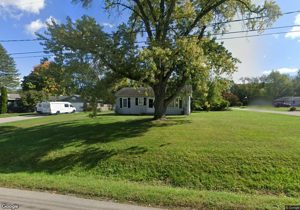
3119 Noble Rd Spring Arbor, MI 49283
Estimated Value: $176,403 - $217,000
Studio
--
Bath
888
Sq Ft
$221/Sq Ft
Est. Value
About This Home
This home is located at 3119 Noble Rd, Spring Arbor, MI 49283 and is currently estimated at $196,601, approximately $221 per square foot. 3119 Noble Rd is a home located in Jackson County with nearby schools including Western High School, Paragon Charter Academy, and Trinity Lutheran School.
Ownership History
Date
Name
Owned For
Owner Type
Purchase Details
Closed on
Nov 7, 2016
Sold by
Lowder Daniel J and Lowder Amanda
Bought by
Henley Michael
Current Estimated Value
Home Financials for this Owner
Home Financials are based on the most recent Mortgage that was taken out on this home.
Original Mortgage
$101,800
Outstanding Balance
$81,728
Interest Rate
3.42%
Mortgage Type
New Conventional
Estimated Equity
$114,873
Purchase Details
Closed on
Jun 13, 2011
Sold by
Cp Federal Credit Union
Bought by
Lowder Daniel J
Home Financials for this Owner
Home Financials are based on the most recent Mortgage that was taken out on this home.
Original Mortgage
$61,402
Interest Rate
4.75%
Mortgage Type
FHA
Create a Home Valuation Report for This Property
The Home Valuation Report is an in-depth analysis detailing your home's value as well as a comparison with similar homes in the area
Purchase History
| Date | Buyer | Sale Price | Title Company |
|---|---|---|---|
| Henley Michael | $105,000 | Midstate Title Agency Of Sou | |
| Lowder Daniel J | $63,000 | At |
Source: Public Records
Mortgage History
| Date | Status | Borrower | Loan Amount |
|---|---|---|---|
| Open | Henley Michael | $101,800 | |
| Previous Owner | Lowder Daniel J | $61,402 |
Source: Public Records
Tax History
| Year | Tax Paid | Tax Assessment Tax Assessment Total Assessment is a certain percentage of the fair market value that is determined by local assessors to be the total taxable value of land and additions on the property. | Land | Improvement |
|---|---|---|---|---|
| 2025 | $2,627 | $80,800 | $0 | $0 |
| 2024 | $15 | $80,100 | $0 | $0 |
| 2023 | $1,539 | $72,700 | $0 | $0 |
| 2022 | $2,387 | $61,600 | $0 | $0 |
| 2021 | $2,054 | $60,330 | $0 | $0 |
| 2020 | $2,030 | $55,030 | $0 | $0 |
| 2019 | $1,933 | $50,440 | $0 | $0 |
| 2018 | $1,952 | $49,910 | $9,670 | $40,240 |
| 2017 | $1,906 | $50,490 | $0 | $0 |
| 2016 | $1,040 | $50,550 | $50,550 | $0 |
| 2015 | $42,753 | $47,370 | $47,370 | $0 |
| 2014 | $42,753 | $44,010 | $44,010 | $0 |
| 2013 | -- | $44,010 | $44,010 | $0 |
Source: Public Records
Map
Nearby Homes
- 6728 King Rd
- V/L S Dearing Rd Unit 40 Acres Vacant Land
- 2635 S Dearing Rd
- 2625 S Dearing Rd
- 7315 King Rd
- 2503 Milford Rd
- 7969 Brandon Dr
- 2659 Fairway Dr
- 68 Dickens St
- 1400 Chapel Rd
- 1400 Chapel Rd Unit B
- 1400 Chapel Rd Unit A
- 5454 Vrooman Rd
- 4557 Westbrook Dr Unit 31
- 1570 Chapel Rd
- 4532 Westbrook Dr Unit 47
- 28 Engelhardt Strasse
- 1035 Engelhardt Strasse
- 4849 Indian Creek Dr Unit 6
- 33 Aviara Oaks Pkwy
Your Personal Tour Guide
Ask me questions while you tour the home.