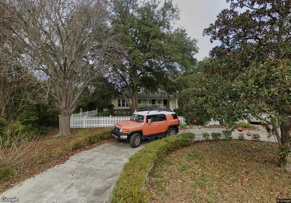
312 10th Ave N Unit MB Surfside Beach, SC 29575
Estimated Value: $544,695 - $691,000
3
Beds
2
Baths
1,620
Sq Ft
$392/Sq Ft
Est. Value
About This Home
This home is located at 312 10th Ave N Unit MB, Surfside Beach, SC 29575 and is currently estimated at $634,674, approximately $391 per square foot. 312 10th Ave N Unit MB is a home located in Horry County with nearby schools including Seaside Elementary, St. James Intermediate, and St. James Middle School.
Ownership History
Date
Name
Owned For
Owner Type
Purchase Details
Closed on
Jan 5, 2016
Sold by
Smith Renard Trust
Bought by
Smith David A
Current Estimated Value
Purchase Details
Closed on
Feb 25, 2007
Sold by
Renard Christine A
Bought by
Smith David and Renard Christine
Purchase Details
Closed on
Mar 8, 2005
Sold by
Hotchkiss Robert K and Hotchkiss Kim C
Bought by
Renard Christine A
Home Financials for this Owner
Home Financials are based on the most recent Mortgage that was taken out on this home.
Original Mortgage
$297,600
Interest Rate
5.54%
Mortgage Type
Purchase Money Mortgage
Purchase Details
Closed on
May 25, 2000
Sold by
Eubank Thomas H and Eubank Dixie C
Bought by
Hotchkiss Robert K and Hotchkiss Kim C
Home Financials for this Owner
Home Financials are based on the most recent Mortgage that was taken out on this home.
Original Mortgage
$151,000
Interest Rate
8.62%
Mortgage Type
Purchase Money Mortgage
Create a Home Valuation Report for This Property
The Home Valuation Report is an in-depth analysis detailing your home's value as well as a comparison with similar homes in the area
Home Values in the Area
Average Home Value in this Area
Purchase History
| Date | Buyer | Sale Price | Title Company |
|---|---|---|---|
| Smith David A | -- | -- | |
| Smith David | -- | None Available | |
| Renard Christine A | $372,000 | -- | |
| Hotchkiss Robert K | $268,000 | -- |
Source: Public Records
Mortgage History
| Date | Status | Borrower | Loan Amount |
|---|---|---|---|
| Previous Owner | Renard Christine A | $297,600 | |
| Previous Owner | Hotchkiss Robert K | $151,000 |
Source: Public Records
Tax History Compared to Growth
Tax History
| Year | Tax Paid | Tax Assessment Tax Assessment Total Assessment is a certain percentage of the fair market value that is determined by local assessors to be the total taxable value of land and additions on the property. | Land | Improvement |
|---|---|---|---|---|
| 2024 | $1,530 | $21,774 | $14,000 | $7,774 |
| 2023 | $1,530 | $11,979 | $7,072 | $4,907 |
| 2021 | $1,354 | $14,184 | $7,072 | $7,112 |
| 2020 | $1,324 | $14,184 | $7,072 | $7,112 |
| 2019 | $1,324 | $14,184 | $7,072 | $7,112 |
| 2018 | $0 | $10,417 | $6,385 | $4,032 |
| 2017 | $1,132 | $10,417 | $6,385 | $4,032 |
| 2016 | -- | $10,417 | $6,385 | $4,032 |
| 2015 | $3,621 | $10,417 | $6,385 | $4,032 |
| 2014 | $3,507 | $10,417 | $6,385 | $4,032 |
Source: Public Records
Map
Nearby Homes
- 1023 S Seabridge Ct
- 0 10th Ave N
- 115 8th Ave N
- 1210 N Ocean Blvd Unit 202
- 813 N Ocean Blvd Unit B
- 511 7th Ave N
- 811 N Ocean Blvd Unit 203
- 112 7th Ave N Unit "Saltaire II"
- 310 5th Ave N Unit 204
- 310 5th Ave N Unit 302 Sea Grove
- 119 6th Ave N
- 115C 15th Ave N Unit Beachin' at Gigi's
- 416 N Ocean Blvd Unit D-14
- 416 N Ocean Blvd Unit B-7
- 121A 16th Ave N Unit Lot 8-A
- 111 16th Ave N Unit 347/348
- 410 5th Ave N
- 516 14th Ave N
- 310 3rd Ave N Unit F-3
- 317 A N Ocean Blvd
- 310 10th Ave N Unit SB
- 314 10th Ave N
- 410 10th Ave N
- 311 10th Ave N
- 412 10th Ave N
- 213 10th Ave N
- 817 N Myrtle Dr
- 1010 N Dogwood Dr
- 912 Palmetto Dr
- 510 10th Ave N
- 211 10th Ave N
- 815 N Myrtle Dr
- 910 Palmetto Dr
- 914 Dogwood Dr N Unit HENDRICKS-TURNER HOU
- 914 Dogwood Dr N
- 914 Dogwood Dr N Unit HENDRICKS - TURNER H
- 912A N Dogwood Dr
- 813 N Myrtle Dr
- 910 N Dogwood Dr
- 512 10th Ave N