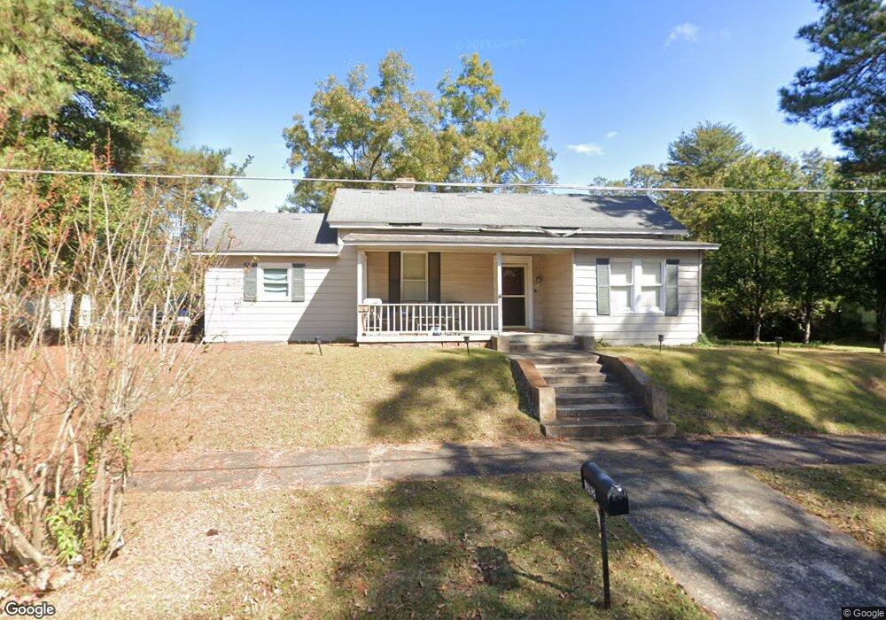
312 4th St Manchester, GA 31816
Estimated Value: $120,000 - $157,000
3
Beds
2
Baths
1,536
Sq Ft
$87/Sq Ft
Est. Value
About This Home
This home is located at 312 4th St, Manchester, GA 31816 and is currently estimated at $133,622, approximately $86 per square foot. 312 4th St is a home located in Meriwether County with nearby schools including Mountain View Elementary School, Manchester Middle School, and Manchester High School.
Ownership History
Date
Name
Owned For
Owner Type
Purchase Details
Closed on
Jun 1, 1999
Sold by
Miles Paula D
Bought by
Mitchell Gregory B E
Current Estimated Value
Purchase Details
Closed on
Oct 7, 1995
Sold by
Miles Glenda B and Miles Pau
Bought by
Miles Paula D
Purchase Details
Closed on
Jun 2, 1995
Sold by
Brown Thomas R
Bought by
Miles Glenda B and Miles Pau
Purchase Details
Closed on
Jun 1, 1995
Sold by
Brown Shirley S
Bought by
Brown Thomas R
Purchase Details
Closed on
Dec 1, 1987
Sold by
Harrison Thomas W
Bought by
Brown Shirley S
Create a Home Valuation Report for This Property
The Home Valuation Report is an in-depth analysis detailing your home's value as well as a comparison with similar homes in the area
Home Values in the Area
Average Home Value in this Area
Purchase History
| Date | Buyer | Sale Price | Title Company |
|---|---|---|---|
| Mitchell Gregory B E | $69,500 | -- | |
| Miles Paula D | -- | -- | |
| Miles Glenda B | -- | -- | |
| Brown Thomas R | $30,000 | -- | |
| Brown Shirley S | -- | -- |
Source: Public Records
Tax History Compared to Growth
Tax History
| Year | Tax Paid | Tax Assessment Tax Assessment Total Assessment is a certain percentage of the fair market value that is determined by local assessors to be the total taxable value of land and additions on the property. | Land | Improvement |
|---|---|---|---|---|
| 2024 | $1,276 | $35,692 | $3,920 | $31,772 |
| 2023 | $1,110 | $24,172 | $3,920 | $20,252 |
| 2022 | $1,110 | $24,172 | $3,920 | $20,252 |
| 2021 | $708 | $24,172 | $3,920 | $20,252 |
| 2020 | $714 | $24,172 | $3,920 | $20,252 |
| 2019 | $716 | $24,172 | $3,920 | $20,252 |
| 2018 | $724 | $24,172 | $3,920 | $20,252 |
| 2017 | $733 | $24,172 | $3,920 | $20,252 |
| 2016 | $731 | $24,172 | $3,920 | $20,252 |
| 2015 | $732 | $24,172 | $3,920 | $20,252 |
| 2014 | $732 | $24,172 | $3,920 | $20,252 |
| 2013 | -- | $24,172 | $3,920 | $20,252 |
Source: Public Records
Map
Nearby Homes
- 312 2nd Ave
- 522 4th St
- 408 Broad St
- 36 E 2nd St
- 3.26 ACRES Mountain Ridge Dr
- 701 Jd Parham Dr
- 514 Farris Blvd
- 621 Mayes Way
- 604 Farris Blvd
- 12 Truitt St
- LOT 188 Pinecrest Dr
- 624 Sunset Dr
- 802 Jd Parham Dr
- 403 W Broxton Ln
- 7223 Scenic Heights
- 305 Holy Hill Place
- 200 Hunt Cir
- 16 North St
- 922 Linda Ln
- 77 Cordwood St