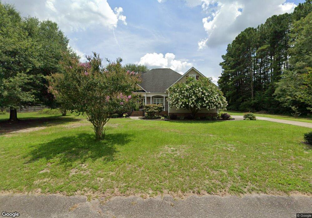
312 Adkins Cir West Columbia, SC 29172
Pine Ridge NeighborhoodEstimated Value: $196,000 - $348,000
3
Beds
2
Baths
2,517
Sq Ft
$114/Sq Ft
Est. Value
About This Home
This home is located at 312 Adkins Cir, West Columbia, SC 29172 and is currently estimated at $288,142, approximately $114 per square foot. 312 Adkins Cir is a home located in Lexington County with nearby schools including Herbert A. Wood Elementary School, Pine Ridge Middle School, and Airport High School.
Ownership History
Date
Name
Owned For
Owner Type
Purchase Details
Closed on
Oct 18, 2007
Sold by
Brazell Diana M
Bought by
Roland Christopher B and Roland Lisa N
Current Estimated Value
Home Financials for this Owner
Home Financials are based on the most recent Mortgage that was taken out on this home.
Original Mortgage
$23,850
Interest Rate
6.26%
Mortgage Type
Purchase Money Mortgage
Purchase Details
Closed on
Aug 12, 2005
Sold by
Williams P H and Williams Patrick H
Bought by
Brazell Diana M
Create a Home Valuation Report for This Property
The Home Valuation Report is an in-depth analysis detailing your home's value as well as a comparison with similar homes in the area
Home Values in the Area
Average Home Value in this Area
Purchase History
| Date | Buyer | Sale Price | Title Company |
|---|---|---|---|
| Roland Christopher B | $26,500 | None Available | |
| Brazell Diana M | $6,000 | -- |
Source: Public Records
Mortgage History
| Date | Status | Borrower | Loan Amount |
|---|---|---|---|
| Closed | Roland Christopher B | $23,850 |
Source: Public Records
Tax History Compared to Growth
Tax History
| Year | Tax Paid | Tax Assessment Tax Assessment Total Assessment is a certain percentage of the fair market value that is determined by local assessors to be the total taxable value of land and additions on the property. | Land | Improvement |
|---|---|---|---|---|
| 2024 | $1,190 | $8,397 | $640 | $7,757 |
| 2023 | $1,190 | $8,397 | $640 | $7,757 |
| 2022 | $1,191 | $8,397 | $640 | $7,757 |
| 2020 | $1,185 | $8,397 | $640 | $7,757 |
| 2019 | $1,195 | $8,304 | $640 | $7,664 |
| 2018 | $1,212 | $8,304 | $640 | $7,664 |
| 2017 | $1,166 | $8,304 | $640 | $7,664 |
| 2016 | $1,198 | $8,303 | $640 | $7,663 |
| 2014 | $836 | $8,477 | $600 | $7,877 |
| 2013 | -- | $8,480 | $600 | $7,880 |
Source: Public Records
Map
Nearby Homes
- 1020 Reynord Cir
- 0 Hyland Cir
- 120 Long Iron Ct
- 156 Long Iron Ct
- 204 Long Iron Ct
- 208 Long Iron Ct
- 212 Long Iron Ct
- 216 Long Iron Ct
- 220 Long Iron Ct
- 245 Long Iron Ct
- 1502 Pine St
- 2015 Valley View Rd
- 141 Shumpert Rd
- 0 Gerrie Ln
- 160 Partridge Hill Dr
- 469 Granny Ln
- 0 73 Acres Charleston Hwy
- 189 Caballeros Trail
- 130 Mary Dr
- 520 Green St
- 311 Adkins Cir
- 308 Adkins Cir
- 1118 Pond Dr
- 307 Adkins Cir
- 316 Adkins Cir
- 1131 Reynolds Dr
- 1129 Reynolds Dr
- 403 Pine Ridge Dr
- 1114 Pond Dr
- 519 Adkins Cir
- 1227 Pond Dr
- 1130 Reynolds Dr
- 1130 Reynolds Dr
- 236 Adkins Cir
- 1112 Pond Dr
- 1125 Reynolds Dr
- 1301 Adkins Cir
- 1109 Reynolds Dr
- 1120 Reynolds Dr
- 1110 Pond Dr