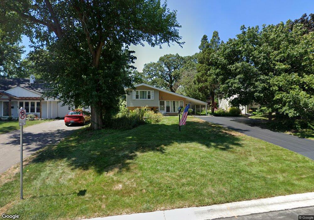
312 Birch Dr Wheaton, IL 60187
West Wheaton NeighborhoodEstimated Value: $328,275 - $445,000
3
Beds
2
Baths
1,125
Sq Ft
$350/Sq Ft
Est. Value
About This Home
This home is located at 312 Birch Dr, Wheaton, IL 60187 and is currently estimated at $394,069, approximately $350 per square foot. 312 Birch Dr is a home located in DuPage County with nearby schools including Emerson Elementary School, Monroe Middle School, and Wheaton North High School.
Create a Home Valuation Report for This Property
The Home Valuation Report is an in-depth analysis detailing your home's value as well as a comparison with similar homes in the area
Home Values in the Area
Average Home Value in this Area
Tax History
| Year | Tax Paid | Tax Assessment Tax Assessment Total Assessment is a certain percentage of the fair market value that is determined by local assessors to be the total taxable value of land and additions on the property. | Land | Improvement |
|---|---|---|---|---|
| 2024 | $5,581 | $102,589 | $37,133 | $65,456 |
| 2023 | $5,300 | $94,430 | $34,180 | $60,250 |
| 2022 | $5,418 | $89,240 | $32,300 | $56,940 |
| 2021 | $5,387 | $87,120 | $31,530 | $55,590 |
| 2020 | $5,722 | $86,310 | $31,240 | $55,070 |
| 2019 | $5,587 | $84,040 | $30,420 | $53,620 |
| 2018 | $5,267 | $78,720 | $28,660 | $50,060 |
| 2017 | $5,181 | $75,810 | $27,600 | $48,210 |
| 2016 | $5,104 | $72,780 | $26,500 | $46,280 |
| 2015 | $5,055 | $69,430 | $25,280 | $44,150 |
| 2014 | $5,596 | $75,020 | $21,710 | $53,310 |
| 2013 | $5,452 | $75,240 | $21,770 | $53,470 |
Source: Public Records
Map
Nearby Homes
- 107 N Pierce Ave
- 833 Parkside Dr
- 615 Polo Dr
- 0N049 Page St
- 0N105 Lot 1 Nepil Ave
- 0N105 Lot 2 Nepil Ave
- 405 W Front St Unit 3207
- 536 W Evergreen St
- 522 S West St
- 26W548 Prairie Ave
- 1110 S Gables Blvd
- 1021 Greenwood Dr
- 1974 Wexford Cir Unit 123
- 26W181 Grand Ave
- 27W073 Jewell Rd
- 114 W Prairie Ave
- 1017 N Main St
- 27W180 Cooley Ave
- 1115 N Main St
- 1028 Lodalia Ct
Your Personal Tour Guide
Ask me questions while you tour the home.