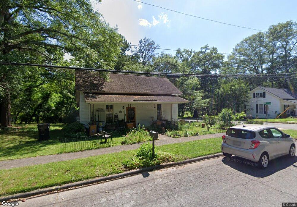
312 Broad St Carrollton, GA 30117
Estimated Value: $134,000 - $166,000
2
Beds
1
Bath
1,000
Sq Ft
$147/Sq Ft
Est. Value
About This Home
This home is located at 312 Broad St, Carrollton, GA 30117 and is currently estimated at $146,887, approximately $146 per square foot. 312 Broad St is a home located in Carroll County with nearby schools including Carrollton Elementary School, Carrollton Upper Elementary School, and Carrollton Middle School.
Ownership History
Date
Name
Owned For
Owner Type
Purchase Details
Closed on
Nov 4, 2022
Sold by
Lee Amy Elisa
Bought by
Selby June and Lee Amy Elisa
Current Estimated Value
Purchase Details
Closed on
Sep 9, 2022
Sold by
Lee Amy Elisa
Bought by
Lee Amy Elisa and Selby June
Purchase Details
Closed on
Feb 21, 2013
Sold by
Crawford Thomas J
Bought by
Lee Amy Elisa
Home Financials for this Owner
Home Financials are based on the most recent Mortgage that was taken out on this home.
Original Mortgage
$31,600
Interest Rate
3.43%
Mortgage Type
New Conventional
Purchase Details
Closed on
Oct 1, 1987
Bought by
Crawford
Create a Home Valuation Report for This Property
The Home Valuation Report is an in-depth analysis detailing your home's value as well as a comparison with similar homes in the area
Home Values in the Area
Average Home Value in this Area
Purchase History
| Date | Buyer | Sale Price | Title Company |
|---|---|---|---|
| Selby June | -- | -- | |
| Lee Amy Elisa | -- | -- | |
| Lee Amy Elisa | $37,500 | -- | |
| Crawford | $21,000 | -- |
Source: Public Records
Mortgage History
| Date | Status | Borrower | Loan Amount |
|---|---|---|---|
| Previous Owner | Lee Amy Elisa | $31,600 |
Source: Public Records
Tax History Compared to Growth
Tax History
| Year | Tax Paid | Tax Assessment Tax Assessment Total Assessment is a certain percentage of the fair market value that is determined by local assessors to be the total taxable value of land and additions on the property. | Land | Improvement |
|---|---|---|---|---|
| 2024 | $270 | $36,215 | $6,625 | $29,590 |
| 2023 | $253 | $33,705 | $6,626 | $27,079 |
| 2022 | $768 | $26,307 | $4,428 | $21,879 |
| 2021 | $649 | $22,235 | $3,280 | $18,955 |
| 2020 | $591 | $20,235 | $3,280 | $16,955 |
| 2019 | $561 | $19,021 | $3,280 | $15,741 |
| 2018 | $529 | $17,666 | $3,280 | $14,386 |
| 2017 | $532 | $17,666 | $3,280 | $14,386 |
| 2016 | $534 | $17,666 | $3,280 | $14,386 |
| 2015 | $452 | $14,629 | $4,000 | $10,629 |
| 2014 | $454 | $14,629 | $4,000 | $10,629 |
Source: Public Records
Map
Nearby Homes
- 219 Broad St
- 160 Watson St
- 516 Longview St
- 105 Haygood Place
- 141 Bowen St
- 142 Griffin Dr
- 109 S Park St
- 166 Maple St
- 109 7th St
- TRACT1-7 Us Highway 27
- 301 Bradley St
- 301 C4 Bradley St
- 110 Golfview Ct
- 27 South St
- 654 King St
- 405 N Park St
- 108 Springwood Dr
- 205 Johnson Ave Unit 231
- 149 River Dr
- 149 River Dr Unit 42
- 308 Broad St
- 110 Pike St
- 304 Broad St
- 405 Burson Ave
- 109 Pike St
- 408 Broad St
- 409 Burson Ave
- 304 Lovvorn Rd
- 115 Pike St
- 407 Burson Ave
- 309 Burson Ave
- 0 Burson Ave Unit 7508417
- 0 Burson Ave Unit 7462009
- 0 Burson Ave Unit 7288043
- 0 Burson Ave Unit 3181651
- 0 Burson Ave Unit 8053571
- 0 Burson Ave Unit 7481447
- 0 Burson Ave
- 409 Broad St
- 119 Pike St