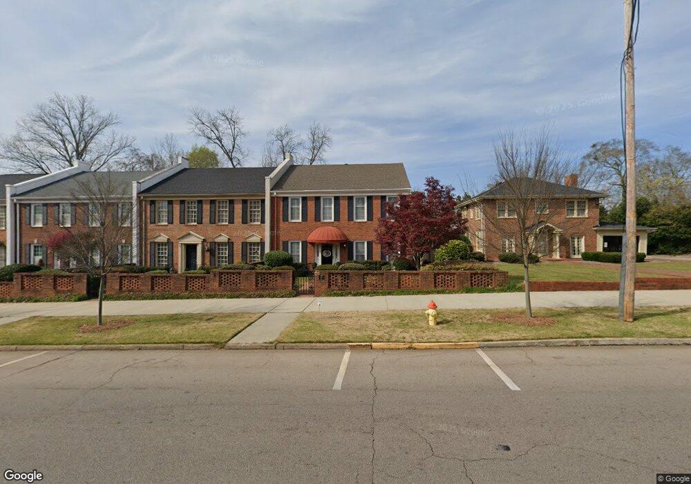
312 Broad St Lagrange, GA 30240
Estimated Value: $503,370 - $544,000
4
Beds
3
Baths
2,736
Sq Ft
$190/Sq Ft
Est. Value
About This Home
This home is located at 312 Broad St, Lagrange, GA 30240 and is currently estimated at $519,093, approximately $189 per square foot. 312 Broad St is a home located in Troup County with nearby schools including Hollis Hand Elementary School, Franklin Forest Elementary School, and Ethel W. Kight Elementary School.
Ownership History
Date
Name
Owned For
Owner Type
Purchase Details
Closed on
Nov 12, 2025
Sold by
Camp Margaret L
Bought by
Key Melanie L and Key Michael R
Current Estimated Value
Purchase Details
Closed on
Aug 26, 1999
Sold by
Nellie Terrell Sams and Nellie Trustee
Bought by
Camp Camp J and Camp Margaret L
Purchase Details
Closed on
Feb 14, 1983
Sold by
Heritage Properties Inc
Bought by
Nellie Terrell Sams and Nellie Trustee
Purchase Details
Closed on
May 14, 1982
Sold by
Fulton Federal Savings & Loan
Bought by
Heritage Properties Inc
Create a Home Valuation Report for This Property
The Home Valuation Report is an in-depth analysis detailing your home's value as well as a comparison with similar homes in the area
Purchase History
| Date | Buyer | Sale Price | Title Company |
|---|---|---|---|
| Key Melanie L | $515,000 | -- | |
| Camp Camp J | $275,000 | -- | |
| Nellie Terrell Sams | $151,300 | -- | |
| Heritage Properties Inc | $40,500 | -- |
Source: Public Records
Tax History
| Year | Tax Paid | Tax Assessment Tax Assessment Total Assessment is a certain percentage of the fair market value that is determined by local assessors to be the total taxable value of land and additions on the property. | Land | Improvement |
|---|---|---|---|---|
| 2025 | $3,929 | $150,760 | $18,000 | $132,760 |
| 2024 | $3,695 | $137,480 | $18,000 | $119,480 |
| 2023 | $2,993 | $129,640 | $18,000 | $111,640 |
| 2022 | $3,451 | $125,640 | $16,320 | $109,320 |
| 2021 | $3,329 | $112,360 | $9,800 | $102,560 |
| 2020 | $3,329 | $112,360 | $9,800 | $102,560 |
| 2019 | $3,103 | $104,880 | $9,800 | $95,080 |
| 2018 | $3,002 | $101,520 | $12,000 | $89,520 |
| 2017 | $3,002 | $101,520 | $12,000 | $89,520 |
| 2016 | $2,976 | $100,672 | $12,000 | $88,672 |
| 2015 | $2,982 | $100,672 | $12,000 | $88,672 |
| 2014 | $2,931 | $98,844 | $12,000 | $86,844 |
| 2013 | -- | $96,337 | $12,000 | $84,337 |
Source: Public Records
Map
Nearby Homes
- 206 Broad St
- 405 W Broome St Unit 2
- 405 W Broome St Unit 3
- 405 W Broome St Unit 4
- 405 W Broome St Unit 1
- 405 W Broome St Unit 5
- 598 Edmondson Ave
- 105 Saynor Cir
- 208 Boulevard
- 120 Saynor Cir
- 203 Waverly Way
- 119 College Ave
- 304 Boulevard
- 216 E Lane Cir
- 505 S Lewis St
- 416 Park Ave
- 509 S Lewis St
- 609 Ridley Ave
- 707 Ridley Ave
- 611 Ridley Ave
Your Personal Tour Guide
Ask me questions while you tour the home.