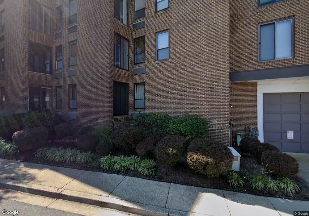
312 Burnside St Unit 6 Annapolis, MD 21403
Eastport NeighborhoodEstimated Value: $828,000 - $1,027,657
3
Beds
3
Baths
1,764
Sq Ft
$523/Sq Ft
Est. Value
About This Home
This home is located at 312 Burnside St Unit 6, Annapolis, MD 21403 and is currently estimated at $922,164, approximately $522 per square foot. 312 Burnside St Unit 6 is a home located in Anne Arundel County with nearby schools including Eastport Elementary School, Annapolis Middle School, and Annapolis High School.
Ownership History
Date
Name
Owned For
Owner Type
Purchase Details
Closed on
Sep 9, 2025
Sold by
Fleming Jo Lorelle
Bought by
Jo L Fleming Living Trust and Fleming
Current Estimated Value
Purchase Details
Closed on
Mar 14, 2018
Sold by
Huck Nathan O
Bought by
Fleming Jo Lorelle
Home Financials for this Owner
Home Financials are based on the most recent Mortgage that was taken out on this home.
Original Mortgage
$100,000
Interest Rate
4.38%
Mortgage Type
New Conventional
Purchase Details
Closed on
Apr 30, 2010
Sold by
Deorsey Dolores M
Bought by
Huck Nathan O
Home Financials for this Owner
Home Financials are based on the most recent Mortgage that was taken out on this home.
Original Mortgage
$351,000
Interest Rate
4.97%
Mortgage Type
New Conventional
Create a Home Valuation Report for This Property
The Home Valuation Report is an in-depth analysis detailing your home's value as well as a comparison with similar homes in the area
Home Values in the Area
Average Home Value in this Area
Purchase History
| Date | Buyer | Sale Price | Title Company |
|---|---|---|---|
| Jo L Fleming Living Trust | -- | None Listed On Document | |
| Fleming Jo Lorelle | $530,000 | Capital Title Ins Agency Inc | |
| Huck Nathan O | $390,000 | -- |
Source: Public Records
Mortgage History
| Date | Status | Borrower | Loan Amount |
|---|---|---|---|
| Previous Owner | Fleming Jo Lorelle | $100,000 | |
| Previous Owner | Huck Nathan O | $351,000 |
Source: Public Records
Tax History Compared to Growth
Tax History
| Year | Tax Paid | Tax Assessment Tax Assessment Total Assessment is a certain percentage of the fair market value that is determined by local assessors to be the total taxable value of land and additions on the property. | Land | Improvement |
|---|---|---|---|---|
| 2025 | $8,383 | $638,633 | -- | -- |
| 2024 | $8,383 | $583,367 | $0 | $0 |
| 2023 | $7,584 | $528,100 | $300,000 | $228,100 |
| 2022 | $7,300 | $518,100 | $0 | $0 |
| 2021 | $14,318 | $508,100 | $0 | $0 |
| 2020 | $7,023 | $498,100 | $280,000 | $218,100 |
| 2019 | $6,630 | $469,900 | $0 | $0 |
| 2018 | $6,144 | $441,700 | $0 | $0 |
| 2017 | $5,413 | $413,500 | $0 | $0 |
| 2016 | -- | $413,500 | $0 | $0 |
| 2015 | -- | $413,500 | $0 | $0 |
| 2014 | -- | $464,000 | $0 | $0 |
Source: Public Records
Map
Nearby Homes
- 316 Burnside St Unit 101
- 301 Burnside St Unit C 202
- 289 State St Unit 4
- 287 State St Unit 3
- 287 State St Unit 2
- 10 Sailors Way
- 9 Shipwright St
- 1 Shipwright Harbor
- 312 Severn Ave Unit W-401
- 412 Jefferson St
- 1007 Park Ave
- 168 Green St
- 320 Chester Ave
- 200 Chesapeake Ave
- 179 Green St
- 934 Bay Ridge Ave Unit 308
- 120 Chesapeake Ave
- 2 Southgate Ave Unit 10
- 215 Chester Ave
- 27 Jeremys Way
- 316 Burnside St Unit 506
- 316 Burnside St Unit 402
- 316 Burnside St Unit 203
- 316 Burnside St Unit 503
- 316 Burnside St Unit 303
- 316 Burnside St Unit 208
- 316 Burnside St Unit 307
- 316 Burnside St Unit 301
- 316 Burnside St Unit 202
- 316 Burnside St
- 316 Burnside St Unit 407
- 316 Burnside St Unit 305
- 316 Burnside St Unit 502
- 316 Burnside St Unit 405
- 316 Burnside St Unit 508
- 316 Burnside St Unit 306
- 316 Burnside St Unit 302
- 316 Burnside St Unit 404
- 316 Burnside St Unit 308
- 316 Burnside St Unit 408