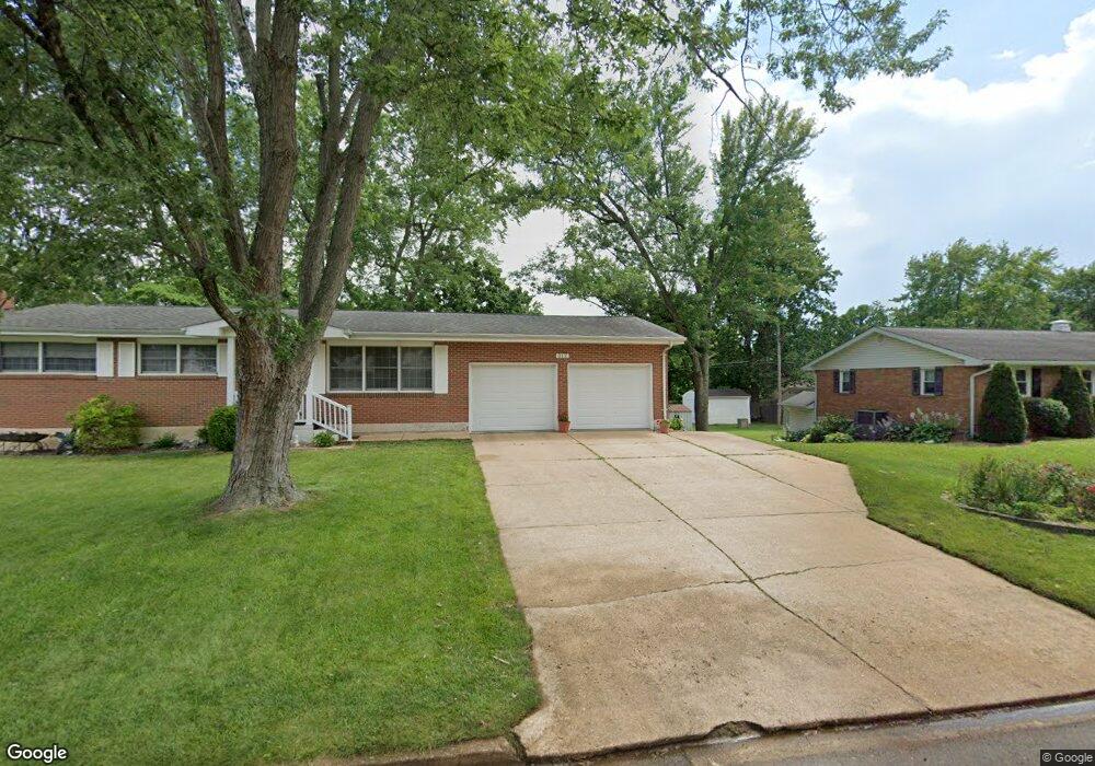
312 Carter St Farmington, MO 63640
Estimated Value: $184,000 - $215,000
3
Beds
1
Bath
1,232
Sq Ft
$165/Sq Ft
Est. Value
About This Home
This home is located at 312 Carter St, Farmington, MO 63640 and is currently estimated at $203,086, approximately $164 per square foot. 312 Carter St is a home located in St. Francois County with nearby schools including Farmington Senior High School, St. Joseph School, and St. Paul Lutheran School.
Create a Home Valuation Report for This Property
The Home Valuation Report is an in-depth analysis detailing your home's value as well as a comparison with similar homes in the area
Home Values in the Area
Average Home Value in this Area
Tax History Compared to Growth
Tax History
| Year | Tax Paid | Tax Assessment Tax Assessment Total Assessment is a certain percentage of the fair market value that is determined by local assessors to be the total taxable value of land and additions on the property. | Land | Improvement |
|---|---|---|---|---|
| 2024 | $1,002 | $19,900 | $3,230 | $16,670 |
| 2023 | $1,002 | $19,900 | $3,230 | $16,670 |
| 2022 | $1,005 | $19,900 | $3,230 | $16,670 |
| 2021 | $1,003 | $19,900 | $3,230 | $16,670 |
| 2020 | $1,009 | $19,900 | $3,230 | $16,670 |
| 2019 | $1,009 | $19,900 | $3,230 | $16,670 |
| 2018 | -- | $19,340 | $1,900 | $17,440 |
| 2017 | $1,014 | $19,340 | $1,900 | $17,440 |
| 2016 | $1,009 | $19,340 | $0 | $0 |
| 2015 | -- | $19,340 | $0 | $0 |
| 2014 | -- | $19,340 | $0 | $0 |
| 2013 | -- | $19,340 | $0 | $0 |
Source: Public Records
Map
Nearby Homes
- 42 Park St
- 601 Edward St
- 610 Walter St
- 802 S Jefferson St
- 1741 E Liberty St
- 17 Airline Dr
- 209 Hawthorne Dr Unit FGT
- 805 S A St
- 8 S A St
- 305 W 1st St
- 311 W 1st St
- 200 Lisa Dr
- 218 Taylor Ave
- 420 Quarry St
- 501 Hawthorne Dr
- 421 Martin St
- 1145 Bell Mountain Dr
- 105 Shepherd Mountain Rd
- 113 Shepherd Mountain Rd
- 1141 Bell Mountain Dr