312 Charleston Ln Wyomissing, PA 19610
Spring Ridge NeighborhoodEstimated Value: $379,921 - $467,000
3
Beds
3
Baths
1,940
Sq Ft
$219/Sq Ft
Est. Value
About This Home
This home is located at 312 Charleston Ln, Wyomissing, PA 19610 and is currently estimated at $424,974, approximately $219 per square foot. 312 Charleston Ln is a home located in Berks County with nearby schools including Spring Ridge Elementary School, Wilson West Middle School, and Wilson High School.
Ownership History
Date
Name
Owned For
Owner Type
Purchase Details
Closed on
Apr 28, 2011
Sold by
Hoch Robert F and Hoch Gail I
Bought by
The Spruce Trust
Current Estimated Value
Home Financials for this Owner
Home Financials are based on the most recent Mortgage that was taken out on this home.
Original Mortgage
$194,400
Outstanding Balance
$134,350
Interest Rate
4.76%
Mortgage Type
Future Advance Clause Open End Mortgage
Estimated Equity
$290,624
Purchase Details
Closed on
Mar 5, 2002
Sold by
Isogai Yukio and Vitko Donald R
Bought by
Hoch Robert F and Hoch Gail I
Home Financials for this Owner
Home Financials are based on the most recent Mortgage that was taken out on this home.
Original Mortgage
$45,000
Interest Rate
6.85%
Mortgage Type
Credit Line Revolving
Create a Home Valuation Report for This Property
The Home Valuation Report is an in-depth analysis detailing your home's value as well as a comparison with similar homes in the area
Home Values in the Area
Average Home Value in this Area
Purchase History
| Date | Buyer | Sale Price | Title Company |
|---|---|---|---|
| The Spruce Trust | $243,000 | None Available | |
| Hoch Robert F | $220,000 | -- |
Source: Public Records
Mortgage History
| Date | Status | Borrower | Loan Amount |
|---|---|---|---|
| Open | The Spruce Trust | $194,400 | |
| Previous Owner | Hoch Robert F | $45,000 |
Source: Public Records
Tax History Compared to Growth
Tax History
| Year | Tax Paid | Tax Assessment Tax Assessment Total Assessment is a certain percentage of the fair market value that is determined by local assessors to be the total taxable value of land and additions on the property. | Land | Improvement |
|---|---|---|---|---|
| 2025 | $3,518 | $238,300 | $75,000 | $163,300 |
| 2024 | $10,196 | $238,300 | $75,000 | $163,300 |
| 2023 | $9,715 | $238,300 | $75,000 | $163,300 |
| 2022 | $9,476 | $238,300 | $75,000 | $163,300 |
| 2021 | $9,143 | $238,300 | $75,000 | $163,300 |
| 2020 | $9,143 | $238,300 | $75,000 | $163,300 |
| 2019 | $8,883 | $238,300 | $75,000 | $163,300 |
| 2018 | $8,807 | $238,300 | $75,000 | $163,300 |
| 2017 | $8,658 | $238,300 | $75,000 | $163,300 |
| 2016 | $2,481 | $238,300 | $75,000 | $163,300 |
| 2015 | $2,481 | $238,300 | $75,000 | $163,300 |
| 2014 | $2,481 | $238,300 | $75,000 | $163,300 |
Source: Public Records
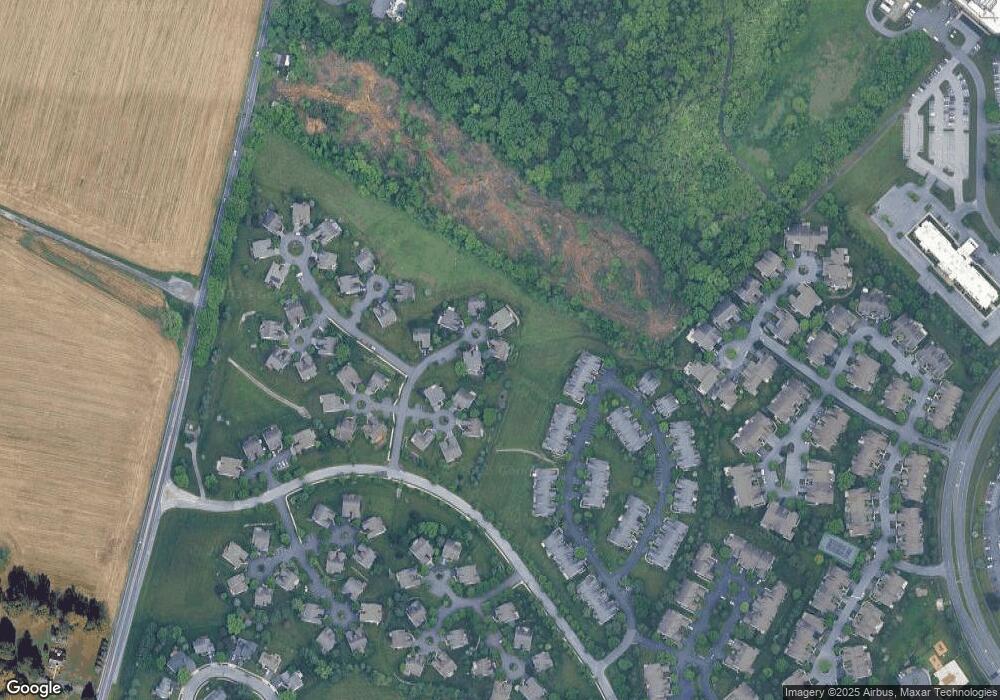
Map
Nearby Homes
- 137 Hickory Ln
- 179 Hawthorne Ct Unit 179A
- 150 Laurel Ct Unit 150A
- 7 Woods Way
- 120 Laurel Ct Unit 120A
- 118 Laurel Ct Unit 118B
- 191 Hawthorne Ct Unit 191A
- 2912 State Hill Rd Unit B-2
- 204 Springmont Dr
- 2900 State Hill Rd Unit I12
- 2035 Franklin Place
- 1914 Andre Ct
- 301 Warwick Dr
- 1501 Concord Rd
- 802 Apple Dr
- 111 Lavender Ln
- 12 Vista Rd
- 118 Primrose Ln
- 101 Robert Rd
- 121 Grandview Blvd
- 314 Charleston Ln
- 310 Charleston Ln
- 132 Hickory Ln
- 133 Hickory Ln
- 134 Hickory Ln
- 135 Hickory Ln
- 136 Hickory Ln
- 128 Hickory Ln
- 127 Hickory Ln
- 126 Hickory Ln
- 318 Charleston Ln
- 125 Hickory Ln
- 306 Charleston Ln
- 301 Charleston Ln
- 118 Hickory Ln
- 141 Hickory Ln
- 142 Hickory Ln
- 305 Charleston Ln
- 116 Hickory Ln
- 302 Charleston Ln