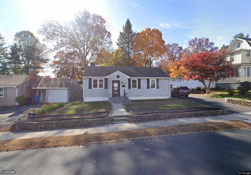
312 Clinton St New Britain, CT 06053
Estimated Value: $250,000 - $335,000
3
Beds
1
Bath
912
Sq Ft
$307/Sq Ft
Est. Value
About This Home
This home is located at 312 Clinton St, New Britain, CT 06053 and is currently estimated at $279,823, approximately $306 per square foot. 312 Clinton St is a home located in Hartford County with nearby schools including Gaffney School, Slade Middle School, and Mountain Laurel Sudbury School.
Ownership History
Date
Name
Owned For
Owner Type
Purchase Details
Closed on
Sep 24, 1992
Sold by
Zawacki Thomas A and Zawacki Edwina G
Bought by
Fortin Barbara E and Fortin Jospeh A
Current Estimated Value
Home Financials for this Owner
Home Financials are based on the most recent Mortgage that was taken out on this home.
Original Mortgage
$109,200
Interest Rate
7.9%
Mortgage Type
Unknown
Create a Home Valuation Report for This Property
The Home Valuation Report is an in-depth analysis detailing your home's value as well as a comparison with similar homes in the area
Home Values in the Area
Average Home Value in this Area
Purchase History
| Date | Buyer | Sale Price | Title Company |
|---|---|---|---|
| Fortin Barbara E | $109,901 | -- |
Source: Public Records
Mortgage History
| Date | Status | Borrower | Loan Amount |
|---|---|---|---|
| Open | Fortin Barbara E | $63,350 | |
| Closed | Fortin Barbara E | $85,900 | |
| Closed | Fortin Barbara E | $100,200 | |
| Closed | Fortin Barbara E | $109,200 |
Source: Public Records
Tax History Compared to Growth
Tax History
| Year | Tax Paid | Tax Assessment Tax Assessment Total Assessment is a certain percentage of the fair market value that is determined by local assessors to be the total taxable value of land and additions on the property. | Land | Improvement |
|---|---|---|---|---|
| 2025 | $4,684 | $119,560 | $48,790 | $70,770 |
| 2024 | $4,733 | $119,560 | $48,790 | $70,770 |
| 2023 | $4,577 | $119,560 | $48,790 | $70,770 |
| 2022 | $3,818 | $77,140 | $22,470 | $54,670 |
| 2021 | $3,818 | $77,140 | $22,470 | $54,670 |
| 2020 | $3,896 | $77,140 | $22,470 | $54,670 |
| 2019 | $3,896 | $77,140 | $22,470 | $54,670 |
| 2018 | $3,896 | $77,140 | $22,470 | $54,670 |
| 2017 | $3,630 | $71,890 | $18,760 | $53,130 |
| 2016 | $3,595 | $71,190 | $18,760 | $52,430 |
| 2015 | $3,488 | $71,190 | $18,760 | $52,430 |
| 2014 | $3,488 | $71,190 | $18,760 | $52,430 |
Source: Public Records
Map
Nearby Homes
- 1485 Corbin Ave
- 1467 Corbin Ave
- 108 Overhill Ave
- 87 Pinehurst Ave
- 42 Fairlane Dr
- 230 Hillhurst Ave
- 23 Ledyard Rd
- 8 Albany Ave
- 19 Maplehurst Ave
- 25 Clinton St
- 115 Beechwood Dr
- 43 Westerly St
- 335 Broad St
- 30 Westerly St
- 817 W Main St
- 527 Burritt St
- 179 Broad St
- 76 N Mountain Rd Unit B
- 80 N Mountain Rd Unit B
- 149 Pennsylvania Ave Unit 151
- 320 Clinton St
- 304 Clinton St
- 20 Erwin St
- 41 Birdseye St
- 296 Clinton St
- 33 Birdseye St
- 332 Clinton St
- 26 Erwin St
- 317 Clinton St
- 305 Clinton St
- 321 Clinton St
- 327 Clinton St
- 154 Overhill Ave
- 21 Birdseye St
- 292 Clinton St
- 297 Clinton St
- 297 Clinton St Unit 2
- 340 Clinton St
- 331 Clinton St
- 34 Birdseye St