Estimated Value: $241,321 - $260,000
3
Beds
2
Baths
1,550
Sq Ft
$162/Sq Ft
Est. Value
About This Home
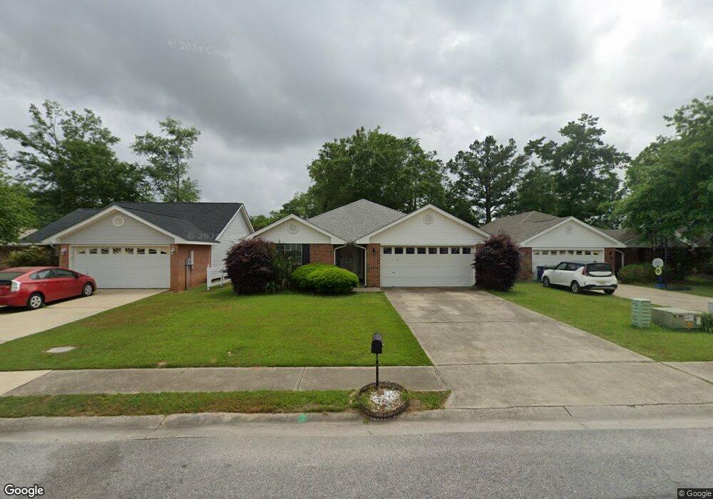
This home is located at 312 Cluster St, Foley, AL 36535 and is currently estimated at $251,580, approximately $162 per square foot. 312 Cluster St is a home located in Baldwin County with nearby schools including Foley Elementary School, Foley Middle School, and Foley High School.
Ownership History
Date
Name
Owned For
Owner Type
Purchase Details
Closed on
Feb 23, 2006
Sold by
Byrnes Kevin
Bought by
Byrnes Patrick
Current Estimated Value
Home Financials for this Owner
Home Financials are based on the most recent Mortgage that was taken out on this home.
Original Mortgage
$132,000
Outstanding Balance
$73,605
Interest Rate
6.04%
Mortgage Type
Fannie Mae Freddie Mac
Estimated Equity
$177,975
Purchase Details
Closed on
Oct 14, 2005
Sold by
Adams Homes Llc
Bought by
Byrnes Kevin
Home Financials for this Owner
Home Financials are based on the most recent Mortgage that was taken out on this home.
Original Mortgage
$97,400
Interest Rate
5.66%
Mortgage Type
Unknown
Create a Home Valuation Report for This Property
The Home Valuation Report is an in-depth analysis detailing your home's value as well as a comparison with similar homes in the area
Home Values in the Area
Average Home Value in this Area
Purchase History
| Date | Buyer | Sale Price | Title Company |
|---|---|---|---|
| Byrnes Patrick | -- | None Available | |
| Byrnes Kevin | -- | Slt |
Source: Public Records
Mortgage History
| Date | Status | Borrower | Loan Amount |
|---|---|---|---|
| Open | Byrnes Patrick | $132,000 | |
| Previous Owner | Byrnes Kevin | $97,400 |
Source: Public Records
Tax History
| Year | Tax Paid | Tax Assessment Tax Assessment Total Assessment is a certain percentage of the fair market value that is determined by local assessors to be the total taxable value of land and additions on the property. | Land | Improvement |
|---|---|---|---|---|
| 2024 | $1,270 | $38,480 | $4,320 | $34,160 |
| 2023 | $1,337 | $40,500 | $5,100 | $35,400 |
| 2022 | $1,104 | $33,440 | $0 | $0 |
| 2021 | $972 | $29,140 | $0 | $0 |
| 2020 | $948 | $28,720 | $0 | $0 |
| 2019 | $960 | $29,100 | $0 | $0 |
| 2018 | $896 | $27,160 | $0 | $0 |
| 2017 | $867 | $25,860 | $0 | $0 |
| 2016 | $836 | $24,920 | $0 | $0 |
| 2015 | $799 | $23,800 | $0 | $0 |
| 2014 | $741 | $22,040 | $0 | $0 |
| 2013 | -- | $21,200 | $0 | $0 |
Source: Public Records
Map
Nearby Homes
- 214 W Sycamore Ave
- 129 Mark Twain Loop
- 1620 Woodbridge Cir E
- 197 Mark Twain Loop
- 1804 Lighthorse Loop
- 19640 Cheaha Dr
- 19568 Cheaha Dr
- 503 W Ariel Ave
- 873 Sumter Loop
- 869 Sumter Loop
- 129 Pennbrooke Loop
- 1500 N Cedar St
- 101 Washington Blvd
- 1881 Carly St
- 1853 Carly St
- 23293 Aberdeen Ct
- 1753 Breckinridge Place
- 219 W Rosetta Ave
- 1749 Breckinridge Place
- 1741 Breckinridge Place
- 310 Cluster St
- 314 Cluster St
- 308 Cluster St
- 316 Cluster St
- 306 Cluster St
- 313 Cluster St
- 1820 Candlestick Ct E
- 105 Apollo Ct
- 107 Apollo Ct
- 311 Cluster St
- 315 Cluster St
- 318 Cluster St
- 309 Cluster St
- 320 Cluster St
- 320 Cluster St
- 1821 Candlestick Ct E
- 317 Cluster St
- 307 Cluster St
- 0 Cluster St
- 1818 Candlestick Ct E
Your Personal Tour Guide
Ask me questions while you tour the home.