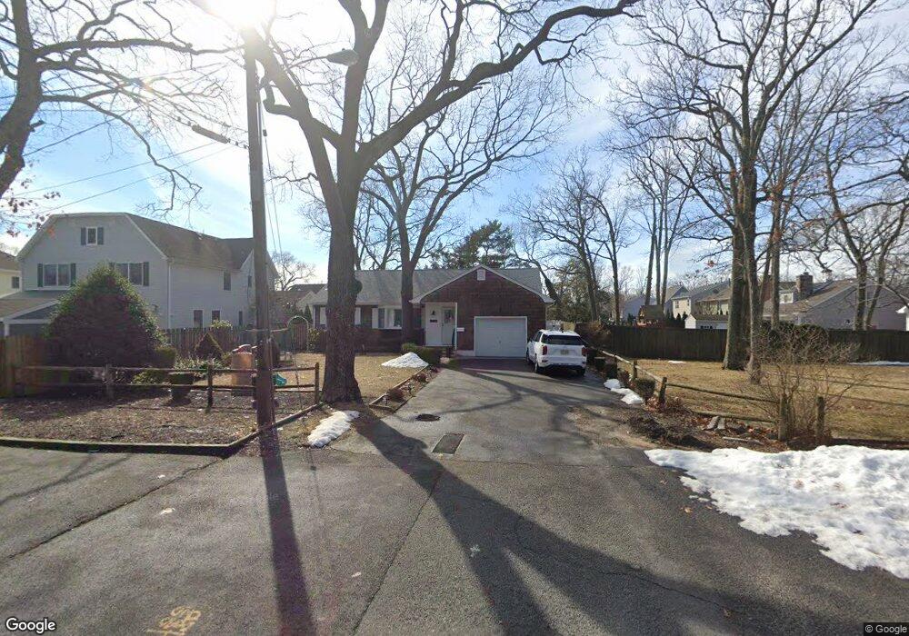
312 Curtis Ave Point Pleasant Boro, NJ 08742
Point Pleasant Beach NeighborhoodEstimated Value: $777,000 - $1,535,000
4
Beds
5
Baths
3,606
Sq Ft
$346/Sq Ft
Est. Value
About This Home
This home is located at 312 Curtis Ave, Point Pleasant Boro, NJ 08742 and is currently estimated at $1,248,882, approximately $346 per square foot. 312 Curtis Ave is a home located in Ocean County with nearby schools including G Harold Antrim Elementary School, Point Pleasant Beach High School, and St. Peter School.
Ownership History
Date
Name
Owned For
Owner Type
Purchase Details
Closed on
Jul 16, 2021
Sold by
Oneill Christine
Bought by
Roling Bert and Roling Danielle
Current Estimated Value
Home Financials for this Owner
Home Financials are based on the most recent Mortgage that was taken out on this home.
Original Mortgage
$390,000
Outstanding Balance
$354,188
Interest Rate
2.96%
Mortgage Type
New Conventional
Estimated Equity
$894,694
Purchase Details
Closed on
Aug 13, 2018
Sold by
Bennett Evelyn Marie
Bought by
Loughran Brian and Loughran Summer
Home Financials for this Owner
Home Financials are based on the most recent Mortgage that was taken out on this home.
Original Mortgage
$840,000
Interest Rate
4.6%
Mortgage Type
Construction
Purchase Details
Closed on
Jun 17, 1993
Bought by
Bennett Evelyn Marie
Create a Home Valuation Report for This Property
The Home Valuation Report is an in-depth analysis detailing your home's value as well as a comparison with similar homes in the area
Home Values in the Area
Average Home Value in this Area
Purchase History
| Date | Buyer | Sale Price | Title Company |
|---|---|---|---|
| Roling Bert | $510,000 | Old Republic Title | |
| Loughran Brian | $480,000 | None Available | |
| Bennett Evelyn Marie | $100 | -- |
Source: Public Records
Mortgage History
| Date | Status | Borrower | Loan Amount |
|---|---|---|---|
| Open | Roling Bert | $390,000 | |
| Previous Owner | Loughran Brian | $840,000 |
Source: Public Records
Tax History Compared to Growth
Tax History
| Year | Tax Paid | Tax Assessment Tax Assessment Total Assessment is a certain percentage of the fair market value that is determined by local assessors to be the total taxable value of land and additions on the property. | Land | Improvement |
|---|---|---|---|---|
| 2025 | $15,823 | $921,000 | $395,700 | $525,300 |
| 2024 | $15,344 | $921,000 | $395,700 | $525,300 |
| 2023 | $14,911 | $921,000 | $395,700 | $525,300 |
| 2022 | $14,911 | $921,000 | $395,700 | $525,300 |
| 2021 | $14,579 | $921,000 | $395,700 | $525,300 |
| 2020 | $14,561 | $921,000 | $395,700 | $525,300 |
| 2019 | $6,169 | $395,700 | $395,700 | $0 |
| 2018 | $7,380 | $480,800 | $395,700 | $85,100 |
| 2017 | $7,265 | $480,800 | $395,700 | $85,100 |
| 2016 | $7,299 | $480,800 | $395,700 | $85,100 |
| 2015 | $7,241 | $480,800 | $395,700 | $85,100 |
| 2014 | $7,207 | $480,800 | $395,700 | $85,100 |
Source: Public Records
Map
Nearby Homes
- 328 Curtis Ave Unit Lot 28
- 326 Curtis Ave Unit Lot 27
- 204 Curtis Ave
- 325 Hawthorne Ave Unit 327
- 109 Griffiths Ave
- 303 Cooks Ln
- 800 Grove St
- 845 Arnold Ave Unit 3
- 728 Arnold Ave
- 606 Bay Ave Unit 2
- 606 Bay Ave Unit 3
- 607 Richmond Ave Unit 4
- 202 Yale Ave
- 842 Arnold Ave Unit 2
- 842 Arnold Ave Unit 3
- 704 Forman Ave
- 804 Clark St
- 503 Atlantic Ave
- 818 Atlantic Ave
- 201 Forman Ave
- 312 Curtis Ave
- 314 Curtis Ave
- 310 Curtis Ave
- 310 Curtis Ave
- 316 Curtis Ave
- 308 Curtis Ave
- 308 Curtis Ave
- 318 Curtis Ave
- 320 Curtis Ave
- 317 River Ave
- 304 Curtis Ave
- 304 Curtis Ave
- 304 Curtis Ave Unit Rear
- 304 Curtis Ave Unit Front
- 307 River Ave
- 307 River Ave
- 311 River Ave
- 311 River Ave
- 315 River Ave
- 315 River Ave