312 Deer Creek Dr Amelia, OH 45102
Estimated Value: $278,957 - $308,000
3
Beds
3
Baths
1,342
Sq Ft
$217/Sq Ft
Est. Value
About This Home
This home is located at 312 Deer Creek Dr, Amelia, OH 45102 and is currently estimated at $290,739, approximately $216 per square foot. 312 Deer Creek Dr is a home located in Clermont County with nearby schools including Amelia Elementary School, West Clermont Middle School, and West Clermont High School.
Ownership History
Date
Name
Owned For
Owner Type
Purchase Details
Closed on
Jan 30, 2018
Sold by
Howard Drew and Howser Robyn
Bought by
Howard Drew A
Current Estimated Value
Home Financials for this Owner
Home Financials are based on the most recent Mortgage that was taken out on this home.
Original Mortgage
$133,801
Outstanding Balance
$115,403
Interest Rate
4.75%
Mortgage Type
FHA
Estimated Equity
$175,336
Purchase Details
Closed on
May 20, 2010
Sold by
Holiday Homes Inc
Bought by
Howard Drew and Howard Robyn
Home Financials for this Owner
Home Financials are based on the most recent Mortgage that was taken out on this home.
Original Mortgage
$107,824
Interest Rate
5.12%
Mortgage Type
Construction
Create a Home Valuation Report for This Property
The Home Valuation Report is an in-depth analysis detailing your home's value as well as a comparison with similar homes in the area
Home Values in the Area
Average Home Value in this Area
Purchase History
| Date | Buyer | Sale Price | Title Company |
|---|---|---|---|
| Howard Drew A | -- | Indiana Land Title | |
| Howard Drew | $20,000 | Springdale Title Llc |
Source: Public Records
Mortgage History
| Date | Status | Borrower | Loan Amount |
|---|---|---|---|
| Open | Howard Drew A | $133,801 | |
| Closed | Howard Drew | $107,824 |
Source: Public Records
Tax History Compared to Growth
Tax History
| Year | Tax Paid | Tax Assessment Tax Assessment Total Assessment is a certain percentage of the fair market value that is determined by local assessors to be the total taxable value of land and additions on the property. | Land | Improvement |
|---|---|---|---|---|
| 2024 | $4,115 | $80,570 | $14,910 | $65,660 |
| 2023 | $4,122 | $80,570 | $14,910 | $65,660 |
| 2022 | $3,351 | $56,950 | $10,500 | $46,450 |
| 2021 | $3,313 | $56,950 | $10,500 | $46,450 |
| 2020 | $3,314 | $56,950 | $10,500 | $46,450 |
| 2019 | $2,328 | $43,750 | $10,290 | $33,460 |
| 2018 | $2,351 | $43,750 | $10,290 | $33,460 |
| 2017 | $2,386 | $43,750 | $10,290 | $33,460 |
| 2016 | $2,304 | $38,710 | $9,100 | $29,610 |
| 2015 | $2,154 | $38,710 | $9,100 | $29,610 |
| 2014 | -- | $38,710 | $9,100 | $29,610 |
| 2013 | $2,433 | $43,370 | $10,500 | $32,870 |
Source: Public Records
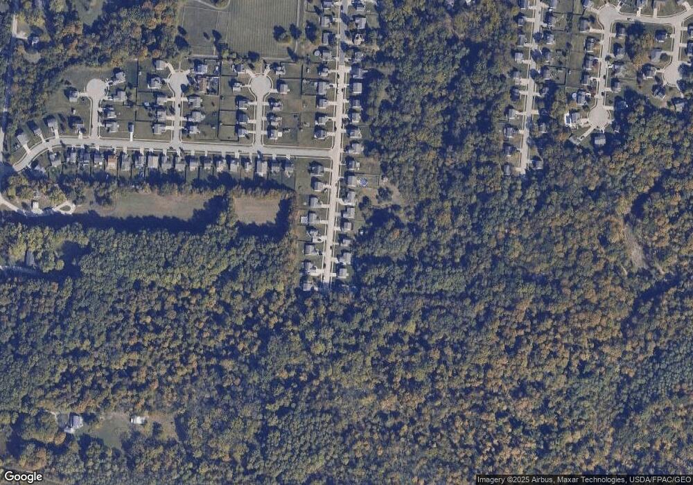
Map
Nearby Homes
- 19 Bobwhite Ct
- 2 Sparrow Ln
- 55 Spicewood Dr
- 46 Spicewood Dr
- 8 Mynah Dr
- 28 Hunters Ct Unit 809F
- 10 Hunters Ct
- 4 Hunters Ct
- 3330 Huntsman Trace Unit 803C
- 3371 Cole Rd
- 3478 Hickory Ln
- 1742 Tib Day Ln
- 2139 Ohio 125
- 2167 Ohio 125
- 1969 Ohio 125
- 1466 Locust Lake Rd
- 3322 Cole Rd
- 1742 Petri Dr
- 1577 Ulrey Cir
- 1770 Sunny Acres Ln
- 310 Deer Creek Dr
- 314 Deer Creek Dr
- 308 Deer Creek Dr
- 316 Deer Creek Dr
- 309 Deer Creek Dr
- 311 Deer Creek Dr
- 307 Deer Creek Dr
- 306 Deer Creek Dr
- 313 Deer Creek Dr
- 318 Deer Creek Dr
- 318 Deer Creek Dr
- 305 Deer Creek Dr
- 315 Deer Creek Dr
- 304 Deer Creek Dr
- 303 Deer Creek Dr
- 302 Deer Creek Dr
- 301 Deer Creek Dr
- 37 S Ridge Dr
- 300 Deer Creek Dr
- 33 S Ridge Dr