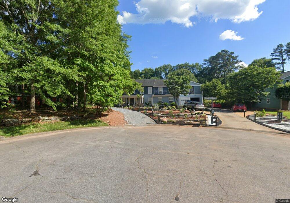
312 Devon Ct Unit IV Woodstock, GA 30188
Union Hill NeighborhoodEstimated Value: $429,000 - $455,248
3
Beds
4
Baths
2,438
Sq Ft
$181/Sq Ft
Est. Value
About This Home
This home is located at 312 Devon Ct Unit IV, Woodstock, GA 30188 and is currently estimated at $442,124, approximately $181 per square foot. 312 Devon Ct Unit IV is a home located in Cherokee County with nearby schools including Arnold Mill Elementary School, Mill Creek Middle School, and River Ridge High School.
Ownership History
Date
Name
Owned For
Owner Type
Purchase Details
Closed on
Jan 14, 2025
Sold by
Duchesne Denis
Bought by
Duchesne Barbara Martin and Duchesne Denis
Current Estimated Value
Purchase Details
Closed on
Aug 27, 1999
Sold by
Almand Charles T and Almand Araminta P
Bought by
Duchesne Denis
Home Financials for this Owner
Home Financials are based on the most recent Mortgage that was taken out on this home.
Original Mortgage
$107,200
Interest Rate
7.91%
Mortgage Type
New Conventional
Create a Home Valuation Report for This Property
The Home Valuation Report is an in-depth analysis detailing your home's value as well as a comparison with similar homes in the area
Home Values in the Area
Average Home Value in this Area
Purchase History
| Date | Buyer | Sale Price | Title Company |
|---|---|---|---|
| Duchesne Barbara Martin | -- | -- | |
| Duchesne Denis | $134,000 | -- |
Source: Public Records
Mortgage History
| Date | Status | Borrower | Loan Amount |
|---|---|---|---|
| Previous Owner | Duchesne Denis | $107,200 |
Source: Public Records
Tax History Compared to Growth
Tax History
| Year | Tax Paid | Tax Assessment Tax Assessment Total Assessment is a certain percentage of the fair market value that is determined by local assessors to be the total taxable value of land and additions on the property. | Land | Improvement |
|---|---|---|---|---|
| 2024 | $828 | $153,616 | $32,000 | $121,616 |
| 2023 | $3,359 | $165,096 | $30,000 | $135,096 |
| 2022 | $3,284 | $139,016 | $28,400 | $110,616 |
| 2021 | $2,822 | $107,256 | $18,000 | $89,256 |
| 2020 | $2,571 | $96,336 | $15,200 | $81,136 |
| 2019 | $2,388 | $88,440 | $15,200 | $73,240 |
| 2018 | $2,239 | $81,600 | $15,200 | $66,400 |
| 2017 | $2,229 | $201,200 | $15,200 | $65,280 |
| 2016 | $2,022 | $179,400 | $12,000 | $59,760 |
| 2015 | $1,874 | $165,100 | $12,000 | $54,040 |
| 2014 | $1,803 | $158,800 | $13,200 | $50,320 |
Source: Public Records
Map
Nearby Homes
- 711 Woodbridge Dr
- 2209 River Woods Way
- 806 Westover Ct
- 104 River Creek Dr
- 414 Spring View Dr
- 112 Sunnybrook Ln
- 499 Bishop Ln
- 454 Silver Brook Dr
- 436 Silver Brook Dr
- 624 Arnold Mill Rd
- 217 Sweetbriar Club Dr
- 0 O Hara Dr Unit 8443973
- 0 O Hara Dr Unit 6064833
- 321 Burdock Trace
- 632 Arnold Mill Rd
- 236 Persimmon Dr
- 636 Arnold Mill Rd
- 605 Sorrell Way
- 123 Old Reece Ln
- 314 Devon Ct
- 310 Devon Ct Unit 4
- 67 Farmington Dr
- 69 Farmington Dr
- 313 Devon Ct
- 308 Devon Ct
- 65 Farmington Dr
- 71 Farmington Dr
- 311 Devon Ct
- 224 Lexington Dr
- 309 Devon Ct Unit IV
- 63 Farmington Dr Unit 4
- 73 Farmington Dr
- 306 Devon Ct
- 220 Lexington Dr
- 0 Devon Ct Unit 7462962
- 0 Devon Ct Unit 7052064
- 0 Devon Ct Unit 8150243
- 0 Devon Ct Unit 8141761
- 307 Devon Ct Unit 4