312 Don Pierre Way Unit II Woodstock, GA 30188
Estimated Value: $486,646 - $488,000
4
Beds
3
Baths
2,371
Sq Ft
$206/Sq Ft
Est. Value
About This Home
This home is located at 312 Don Pierre Way Unit II, Woodstock, GA 30188 and is currently estimated at $487,323, approximately $205 per square foot. 312 Don Pierre Way Unit II is a home located in Cherokee County with nearby schools including Little River Elementary, Mill Creek Middle School, and River Ridge High School.
Ownership History
Date
Name
Owned For
Owner Type
Purchase Details
Closed on
Apr 14, 2000
Sold by
Pulte Home Corp
Bought by
Iverson Eric R and Iverson Lisa G
Current Estimated Value
Home Financials for this Owner
Home Financials are based on the most recent Mortgage that was taken out on this home.
Original Mortgage
$169,383
Outstanding Balance
$57,406
Interest Rate
8.29%
Mortgage Type
FHA
Estimated Equity
$429,917
Create a Home Valuation Report for This Property
The Home Valuation Report is an in-depth analysis detailing your home's value as well as a comparison with similar homes in the area
Home Values in the Area
Average Home Value in this Area
Purchase History
| Date | Buyer | Sale Price | Title Company |
|---|---|---|---|
| Iverson Eric R | $169,500 | -- |
Source: Public Records
Mortgage History
| Date | Status | Borrower | Loan Amount |
|---|---|---|---|
| Open | Iverson Eric R | $169,383 |
Source: Public Records
Tax History Compared to Growth
Tax History
| Year | Tax Paid | Tax Assessment Tax Assessment Total Assessment is a certain percentage of the fair market value that is determined by local assessors to be the total taxable value of land and additions on the property. | Land | Improvement |
|---|---|---|---|---|
| 2025 | $5,367 | $187,688 | $38,000 | $149,688 |
| 2024 | $5,097 | $179,796 | $38,000 | $141,796 |
| 2023 | $883 | $162,116 | $32,800 | $129,316 |
| 2022 | $4,357 | $148,560 | $29,600 | $118,960 |
| 2021 | $3,042 | $120,920 | $22,000 | $98,920 |
| 2020 | $3,553 | $111,440 | $19,600 | $91,840 |
| 2019 | $2,696 | $107,200 | $19,600 | $87,600 |
| 2018 | $2,470 | $97,560 | $19,600 | $77,960 |
| 2017 | $2,302 | $225,600 | $18,400 | $71,840 |
| 2016 | $2,223 | $215,900 | $17,600 | $68,760 |
| 2015 | $1,917 | $184,600 | $16,400 | $57,440 |
| 2014 | $1,792 | $172,200 | $16,400 | $52,480 |
Source: Public Records
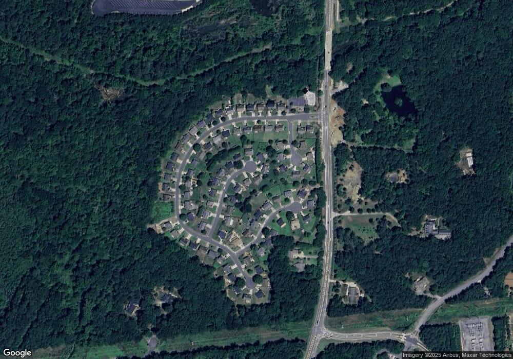
Map
Nearby Homes
- 133 Finsbury Ln
- 202 Kigian Trail
- 237 Kigian Trail
- 202 Little River Way
- 236 Persimmon Dr
- 124 Riverside Ln
- 212 Regent Square
- 283 Regent Square
- 321 Burdock Trace
- 414 Spring View Dr
- 230 Apple Branch Dr
- 1503 Korona Ct
- 129 Regent Place
- 114 Neetle Close Dr
- 140 Apple Valley Dr
- 116 Neetle Close Dr
- 640 Dahoma Trail Unit II
- 809 Araya Ct
- 221 Morris Ln
- 314 Don Pierre Way
- 310 Don Pierre Way
- 411 Islandora Cove
- 409 Islandora Cove
- 206 Mayaca Ct
- 308 Don Pierre Way
- 413 Islandora Cove Unit II
- 319 Don Pierre Way
- 407 Islandora Cove
- 306 Don Pierre Way
- 204 Mayaca Ct
- 208 Mayaca Ct Unit III
- 315 Don Pierre Way
- 317 Don Pierre Way Unit II
- 202 Mayaca Ct Unit 3
- 313 Don Pierre Way
- 304 Don Pierre Way
- 405 Islandora Cove
- 311 Don Pierre Way Unit II
- 408 Islandora Cove