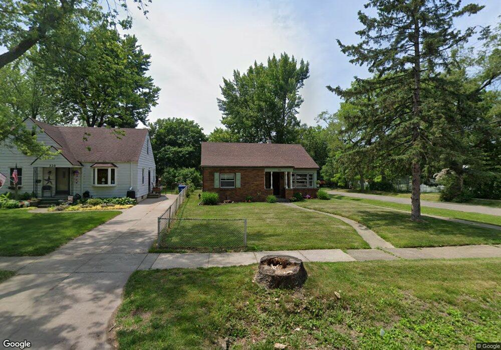
312 Dover Rd Unit Bldg-Unit Waterford, MI 48328
Waterford Township NeighborhoodEstimated Value: $217,000 - $266,000
1
Bed
1
Bath
1,187
Sq Ft
$204/Sq Ft
Est. Value
About This Home
This home is located at 312 Dover Rd Unit Bldg-Unit, Waterford, MI 48328 and is currently estimated at $241,750, approximately $203 per square foot. 312 Dover Rd Unit Bldg-Unit is a home located in Oakland County with nearby schools including Knudsen Elementary School, Mason Middle School, and Waterford Mott High School.
Ownership History
Date
Name
Owned For
Owner Type
Purchase Details
Closed on
Apr 20, 2018
Sold by
Lawrence David
Bought by
Shoumate Jeffrey R
Current Estimated Value
Home Financials for this Owner
Home Financials are based on the most recent Mortgage that was taken out on this home.
Original Mortgage
$146,686
Outstanding Balance
$126,206
Interest Rate
4.46%
Mortgage Type
VA
Estimated Equity
$115,544
Purchase Details
Closed on
Dec 19, 2016
Sold by
Lawrence David and Estate Of Helen L Lawrence
Bought by
Lawrence David
Create a Home Valuation Report for This Property
The Home Valuation Report is an in-depth analysis detailing your home's value as well as a comparison with similar homes in the area
Home Values in the Area
Average Home Value in this Area
Purchase History
| Date | Buyer | Sale Price | Title Company |
|---|---|---|---|
| Shoumate Jeffrey R | $142,000 | None Available | |
| Lawrence David | -- | None Available |
Source: Public Records
Mortgage History
| Date | Status | Borrower | Loan Amount |
|---|---|---|---|
| Open | Shoumate Jeffrey R | $146,686 |
Source: Public Records
Tax History Compared to Growth
Tax History
| Year | Tax Paid | Tax Assessment Tax Assessment Total Assessment is a certain percentage of the fair market value that is determined by local assessors to be the total taxable value of land and additions on the property. | Land | Improvement |
|---|---|---|---|---|
| 2024 | $1,365 | $91,850 | $0 | $0 |
| 2023 | $1,302 | $73,950 | $0 | $0 |
| 2022 | $2,111 | $69,040 | $0 | $0 |
| 2021 | $1,998 | $67,420 | $0 | $0 |
| 2020 | $1,192 | $61,000 | $0 | $0 |
| 2019 | $1,952 | $54,380 | $0 | $0 |
| 2018 | $1,261 | $49,060 | $0 | $0 |
| 2017 | $1,768 | $49,060 | $0 | $0 |
| 2016 | $1,158 | $43,610 | $0 | $0 |
| 2015 | -- | $37,650 | $0 | $0 |
| 2014 | -- | $33,660 | $0 | $0 |
| 2011 | -- | $35,460 | $0 | $0 |
Source: Public Records
Map
Nearby Homes
- 445 Lakeside Dr
- 126 S Roslyn Rd
- 4003 Elmhurst Rd
- 4199 Motorway Dr
- 4227 Lanette Dr
- 3977 Cresthaven Dr
- 577 Lakeside Dr
- 3860 Lawley Ave
- 4025 Cresthaven Dr
- 549 Grixdale Ln
- 581 S Winding Dr
- 111 Willow Way
- 87 N Roslyn Rd
- 4405 Motorway Dr
- 540 Lake Village Ave
- 603 Woodingham Ave
- 4433 Motorway Dr
- The Dover Plan at Hogarth
- The Dawson Plan at Hogarth
- The Concord Plan at Hogarth
- 312 Dover Rd
- 320 Dover Rd
- 326 Dover Rd
- 196 Dover Rd
- 330 Dover Rd
- 201 Riviera Terrace
- 336 Dover Rd
- 209 Riviera Terrace
- 193 Riviera Terrace
- 181 Riviera Terrace
- 261 Riviera Terrace
- 311 Dover Rd
- 176 Dover Rd
- 340 Dover Rd
- 303 Riviera Terrace
- 331 Dover Rd
- 167 Riviera Terrace
- 197 Dover Rd
- 0 Riviera Terrace
- 345 Riviera Terrace