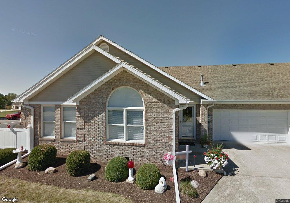
312 Dry Branch Dr Crawfordsville, IN 47933
Estimated Value: $205,000 - $213,000
2
Beds
2
Baths
1,300
Sq Ft
$161/Sq Ft
Est. Value
About This Home
This home is located at 312 Dry Branch Dr, Crawfordsville, IN 47933 and is currently estimated at $209,058, approximately $160 per square foot. 312 Dry Branch Dr is a home located in Montgomery County with nearby schools including Mollie B. Hoover Elementary School, Laura Hose Elementary School, and Meredith Nicholson Elementary School.
Ownership History
Date
Name
Owned For
Owner Type
Purchase Details
Closed on
Jun 26, 2024
Sold by
Gilbert Beverly
Bought by
Bjg Asset Protection Trust and Peach
Current Estimated Value
Purchase Details
Closed on
Oct 25, 2021
Sold by
Minkler Vickie L and Allen Michael D
Bought by
Gilbert Beverly
Purchase Details
Closed on
Oct 16, 2013
Sold by
Pruett Steven D and Pruett Deanna F
Bought by
Allen George C and Allen Barbara W
Purchase Details
Closed on
Aug 23, 2010
Sold by
Pructt Steven D and Pructt Deanna F
Bought by
Pruett Steven D and Pruett Deanna F
Create a Home Valuation Report for This Property
The Home Valuation Report is an in-depth analysis detailing your home's value as well as a comparison with similar homes in the area
Home Values in the Area
Average Home Value in this Area
Purchase History
| Date | Buyer | Sale Price | Title Company |
|---|---|---|---|
| Bjg Asset Protection Trust | -- | None Listed On Document | |
| Gilbert Beverly | -- | None Listed On Document | |
| Allen George C | -- | Partners Title Group Inc | |
| Pruett Steven D | -- | None Available |
Source: Public Records
Tax History Compared to Growth
Tax History
| Year | Tax Paid | Tax Assessment Tax Assessment Total Assessment is a certain percentage of the fair market value that is determined by local assessors to be the total taxable value of land and additions on the property. | Land | Improvement |
|---|---|---|---|---|
| 2024 | $1,746 | $169,000 | $19,800 | $149,200 |
| 2023 | $1,712 | $168,800 | $19,800 | $149,000 |
| 2022 | $1,859 | $152,100 | $19,800 | $132,300 |
| 2021 | $394 | $132,700 | $19,800 | $112,900 |
| 2020 | $386 | $129,500 | $19,800 | $109,700 |
| 2019 | $379 | $130,000 | $19,800 | $110,200 |
| 2018 | $371 | $120,600 | $16,200 | $104,400 |
| 2017 | $364 | $119,500 | $16,200 | $103,300 |
| 2016 | $357 | $115,400 | $16,200 | $99,200 |
| 2014 | $343 | $113,300 | $16,200 | $97,100 |
| 2013 | $343 | $110,400 | $16,200 | $94,200 |
Source: Public Records
Map
Nearby Homes
- 3 Sterling Ln
- 1 Sterling Ln
- 00 N Nucor Rd
- 00 E Co Rd 350 Rd S
- 00 E State Road 32
- 1603 John St
- 408 Hughes St
- 411 Vandalia Ct
- 917 S State Road 47
- 1503 Payton St
- 1121 Mill St
- 1404 Payton St
- 1107 Danville Ave
- 510 E Chestnut St
- 706.5 John St
- 605 Tuttle Ave
- 0 S Us 231 Unit MBR22024646
- 706 Mill St
- 515 S Water St
- 304 E Franklin St
- 316 Dry Branch Dr
- 314 Dry Branch Dr Unit 314
- 314 Dry Branch Dr
- 314 Dry Branch Dr Unit 316
- 318 Dry Branch Dr
- 318 Dry Branch Dr Unit 318
- 318 Dry Branch Dr Unit 314
- 308 Dry Branch Dr
- 304 Dry Branch Dr
- 320 Dry Branch Dr
- 306 Dry Branch Dr
- 322 Dry Branch Dr
- 307 Dry Branch Dr
- 324 Dry Branch Dr
- 326 Dry Branch Dr
- 305 Dry Branch Dr
- 303 Dry Branch Dr
- 300 Dry Branch Dr
- 300 Dry Branch Dr Unit 300