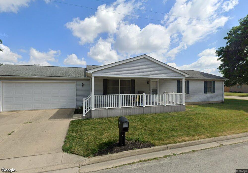
312 E Bridge St Covington, OH 45318
Estimated Value: $186,000 - $239,000
3
Beds
2
Baths
1,300
Sq Ft
$156/Sq Ft
Est. Value
About This Home
This home is located at 312 E Bridge St, Covington, OH 45318 and is currently estimated at $202,898, approximately $156 per square foot. 312 E Bridge St is a home located in Miami County with nearby schools including Covington Elementary/Junior High School, Covington Junior High School, and Covington High School.
Ownership History
Date
Name
Owned For
Owner Type
Purchase Details
Closed on
Jun 27, 2008
Sold by
Drees Ned M
Bought by
Bryan Jeanette M
Current Estimated Value
Purchase Details
Closed on
Jan 1, 1990
Bought by
Drees Ned M
Create a Home Valuation Report for This Property
The Home Valuation Report is an in-depth analysis detailing your home's value as well as a comparison with similar homes in the area
Home Values in the Area
Average Home Value in this Area
Purchase History
| Date | Buyer | Sale Price | Title Company |
|---|---|---|---|
| Bryan Jeanette M | $103,000 | -- | |
| Drees Ned M | -- | -- |
Source: Public Records
Tax History
| Year | Tax Paid | Tax Assessment Tax Assessment Total Assessment is a certain percentage of the fair market value that is determined by local assessors to be the total taxable value of land and additions on the property. | Land | Improvement |
|---|---|---|---|---|
| 2025 | $1,505 | $66,020 | $9,000 | $57,020 |
| 2024 | $1,505 | $50,960 | $9,730 | $41,230 |
| 2023 | $1,550 | $50,960 | $9,730 | $41,230 |
| 2022 | $1,583 | $50,960 | $9,730 | $41,230 |
| 2021 | $1,236 | $39,200 | $7,490 | $31,710 |
| 2020 | $1,239 | $39,200 | $7,490 | $31,710 |
| 2019 | $1,244 | $39,200 | $7,490 | $31,710 |
| 2018 | $1,009 | $33,330 | $5,850 | $27,480 |
| 2017 | $1,027 | $33,330 | $5,850 | $27,480 |
| 2016 | $1,014 | $33,330 | $5,850 | $27,480 |
| 2015 | $923 | $32,070 | $5,640 | $26,430 |
| 2014 | $923 | $32,070 | $5,640 | $26,430 |
| 2013 | $889 | $32,070 | $5,640 | $26,430 |
Source: Public Records
Map
Nearby Homes
- 221 S Grant St
- 313 E Bridge St
- 217 S Grant St
- 226 S Harrison St
- 220 S Harrison St
- 214 S Harrison St
- 402 E Bridge St
- 311 E Bridge St
- 208 S Harrison St
- 317 Thompson St
- 315 Thompson St
- 116 S Grant St
- 312 S Harrison St
- 405 E Bridge St
- 202 S Harrison St
- 1108 S Grant St
- 112 S Grant St
- 318 S Harrison St
- 318 S Harrison St Unit Covington
- 223 E Bridge St
Your Personal Tour Guide
Ask me questions while you tour the home.