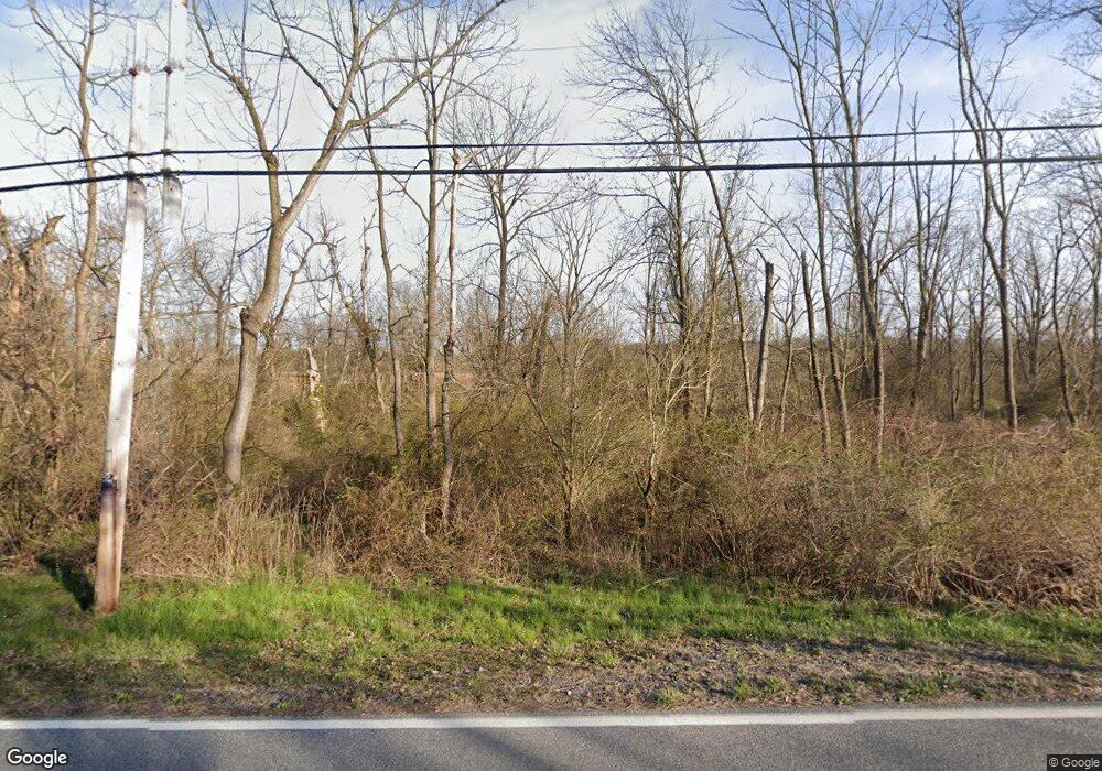
312 E Hillendale Rd Kennett Square, PA 19348
Estimated Value: $570,000 - $900,000
Studio
--
Bath
--
Sq Ft
21.6
Acres
About This Home
This home is located at 312 E Hillendale Rd, Kennett Square, PA 19348 and is currently estimated at $747,016. 312 E Hillendale Rd is a home located in Chester County with nearby schools including Kennett Middle School, Kennett High School, and St. Patrick School.
Ownership History
Date
Name
Owned For
Owner Type
Purchase Details
Closed on
Jan 7, 2013
Bought by
Dkb Holdings Lp
Current Estimated Value
Purchase Details
Closed on
May 1, 2009
Sold by
Whiteside George M and The Hornblende Enterprise Trus
Bought by
Conly Brian and Conly Erika M
Purchase Details
Closed on
Aug 20, 2007
Sold by
Whiteside George M
Bought by
Whiteside Whiteside Iii George M Iii George M and Whiteside Rider Sylvia
Purchase Details
Closed on
Dec 2, 2006
Sold by
Whiteside George M
Bought by
Hornblende Enterprise Trust
Create a Home Valuation Report for This Property
The Home Valuation Report is an in-depth analysis detailing your home's value as well as a comparison with similar homes in the area
Home Values in the Area
Average Home Value in this Area
Purchase History
| Date | Buyer | Sale Price | Title Company |
|---|---|---|---|
| Dkb Holdings Lp | $600,000 | -- | |
| Conly Brian | $425,000 | None Available | |
| Whiteside Whiteside Iii George M Iii George M | -- | Security Search & Abstract C | |
| Whiteside George M | -- | Security Search & Abstract C | |
| Whiteside Whiteside Iii George M Iii George M | -- | Security Search & Abstract C | |
| Whiteside George M | -- | Security Search & Abstract C | |
| Hornblende Enterprise Trust | -- | None Available |
Source: Public Records
Tax History Compared to Growth
Tax History
| Year | Tax Paid | Tax Assessment Tax Assessment Total Assessment is a certain percentage of the fair market value that is determined by local assessors to be the total taxable value of land and additions on the property. | Land | Improvement |
|---|---|---|---|---|
| 2025 | $290 | $157,820 | $157,820 | -- |
| 2024 | $290 | $157,820 | $157,820 | -- |
| 2023 | $285 | $157,820 | $157,820 | $0 |
| 2022 | $277 | $157,820 | $157,820 | $0 |
| 2021 | $273 | $157,820 | $157,820 | $0 |
| 2020 | $268 | $157,820 | $157,820 | $0 |
| 2019 | $264 | $157,820 | $157,820 | $0 |
| 2018 | $259 | $157,820 | $157,820 | $0 |
| 2017 | $241 | $157,820 | $157,820 | $0 |
| 2016 | $28 | $157,820 | $157,820 | $0 |
| 2015 | $28 | $157,820 | $157,820 | $0 |
| 2014 | $28 | $157,820 | $157,820 | $0 |
Source: Public Records
Map
Nearby Homes
- 187 E Hillendale Rd
- 110 Pierce Ln
- 105 Waywood Dr
- 102 Knoxlyn Farm Dr
- 135 Waywood Dr
- 113 Waywood Dr Unit 32
- 101 Keswick Ct
- 51 Ways Ln
- 105 Sassafras Dr
- 1025 James Walter Way
- 418 Victoria Gardens Dr Unit J
- 530 Richards Rd
- 706 Center St
- 2 Farron Dr
- 501 Richards Rd
- 311 E State St
- 501 N Walnut Rd
- 1219 Benjamin Dr
- 143 W Mulberry St
- 25 Southridge Dr
- 322 E Hillendale Rd
- 101 Twin Creek Ln
- 326 E Hillendale Rd
- 570 Mcfarlan Rd
- 327 E Hillendale Rd
- 103 Twin Creek Ln
- 102 Twin Creek Ln
- 600 Mcfarlan Rd
- 105 Twin Creek Ln
- 104 Twin Creek Ln
- 106 Twin Creek Ln
- 107 Twin Creek Ln
- 222 E Hillendale Rd
- 109 Twin Creek Ln
- 108 Twin Creek Ln
- 560 Mcfarlan Rd
- 549 Mcfarlan Rd
- 113 Twin Creek Ln
- 110 Twin Creek Ln
- 548 Mcfarlan Rd
