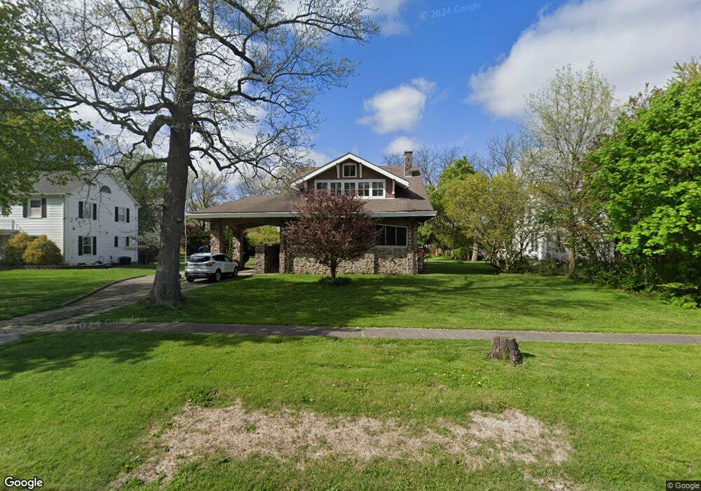
312 E Iroquois St Unit 1 Kentland, IN 47951
Estimated Value: $210,000 - $282,000
6
Beds
2
Baths
2,916
Sq Ft
$84/Sq Ft
Est. Value
About This Home
This home is located at 312 E Iroquois St Unit 1, Kentland, IN 47951 and is currently estimated at $244,048, approximately $83 per square foot. 312 E Iroquois St Unit 1 is a home located in Newton County with nearby schools including South Newton Elementary School, South Newton Middle School, and South Newton Senior High School.
Ownership History
Date
Name
Owned For
Owner Type
Purchase Details
Closed on
Mar 17, 2017
Sold by
Monnett
Bought by
Steele Latonia C
Current Estimated Value
Home Financials for this Owner
Home Financials are based on the most recent Mortgage that was taken out on this home.
Original Mortgage
$44,000
Outstanding Balance
$33,613
Interest Rate
4.15%
Mortgage Type
Unknown
Estimated Equity
$210,435
Purchase Details
Closed on
Jan 30, 2012
Sold by
Hartman, Sheriff Don
Bought by
Hsbc Mortgage Services Inc
Create a Home Valuation Report for This Property
The Home Valuation Report is an in-depth analysis detailing your home's value as well as a comparison with similar homes in the area
Home Values in the Area
Average Home Value in this Area
Purchase History
| Date | Buyer | Sale Price | Title Company |
|---|---|---|---|
| Steele Latonia C | $55,000 | -- | |
| Steele Latonia C | -- | -- | |
| Hsbc Mortgage Services Inc | $54,296 | -- |
Source: Public Records
Mortgage History
| Date | Status | Borrower | Loan Amount |
|---|---|---|---|
| Open | Steele Latonia C | $44,000 | |
| Closed | Steele Latonia C | $44,000 |
Source: Public Records
Tax History Compared to Growth
Tax History
| Year | Tax Paid | Tax Assessment Tax Assessment Total Assessment is a certain percentage of the fair market value that is determined by local assessors to be the total taxable value of land and additions on the property. | Land | Improvement |
|---|---|---|---|---|
| 2024 | $1,995 | $206,100 | $20,100 | $186,000 |
| 2023 | $1,634 | $175,000 | $20,100 | $154,900 |
| 2022 | $1,753 | $165,400 | $20,100 | $145,300 |
| 2021 | $1,285 | $137,800 | $18,800 | $119,000 |
| 2020 | $1,307 | $123,000 | $18,800 | $104,200 |
| 2019 | $1,204 | $123,000 | $18,800 | $104,200 |
| 2018 | $1,157 | $123,000 | $18,800 | $104,200 |
| 2017 | $964 | $114,900 | $10,900 | $104,000 |
| 2016 | $1,024 | $103,200 | $10,900 | $92,300 |
| 2014 | $671 | $90,600 | $10,900 | $79,700 |
| 2013 | $671 | $85,900 | $10,900 | $75,000 |
Source: Public Records
Map
Nearby Homes
- 806 N 4th St
- 310 E Maple St
- 809 N 3rd St
- 212 E Washington St
- 407 N 3rd St
- 111 E Iroquois St
- 105 E Iroquois St
- 106 E Washington St
- 101 W Lincoln St Unit 1
- 103 E Washington St
- 405 N 7th St
- 106 W Washington St
- 407 N 7th St
- 408 E Graham St
- 105 E Allen St
- Vacant Land W Allen St
- 218 W Allen St
- 323 W Graham St
- 315 W Railroad St
- 311 W Allen St
- 312 E Iroquois St
- 310 E Iroquois St
- 311 E Ray St
- 308 E Iroquois St
- 313 E Ray St
- 309 E Ray St
- 307 E Ray St
- 706 N 4th St
- 315 E Ray St
- 306 E Iroquois St
- 317 E Iroquois St
- 319 E Iroquois St
- 608 N 4th St
- 315 E Iroquois St
- 313 E Iroquois St
- 311 E Iroquois St
- 305 E Ray St
- 309 E Iroquois St
- 304 E Iroquois St
- 316 E Ray St