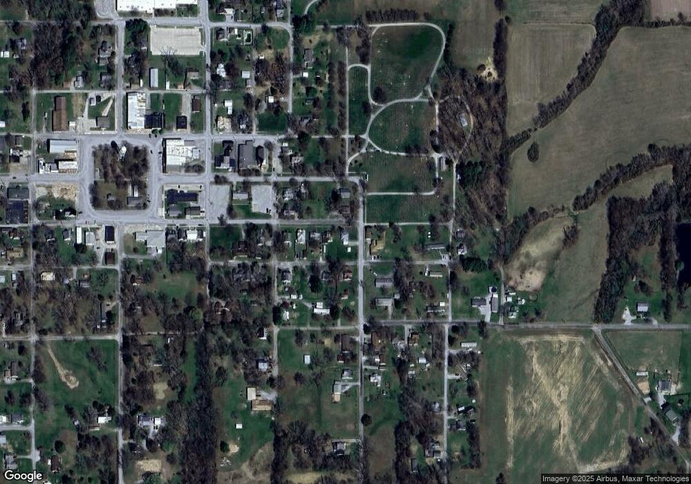
312 E South St West Salem, IL 62476
Estimated Value: $41,931 - $68,000
--
Bed
--
Bath
--
Sq Ft
0.25
Acres
About This Home
This home is located at 312 E South St, West Salem, IL 62476 and is currently estimated at $53,983. 312 E South St is a home with nearby schools including Edwards County High School and Lancaster Christian School.
Ownership History
Date
Name
Owned For
Owner Type
Purchase Details
Closed on
May 24, 2012
Sold by
Michels Brittany N
Bought by
Taylor Skyler
Current Estimated Value
Home Financials for this Owner
Home Financials are based on the most recent Mortgage that was taken out on this home.
Original Mortgage
$22,800
Outstanding Balance
$3,503
Interest Rate
5.25%
Estimated Equity
$50,480
Purchase Details
Closed on
Apr 7, 2011
Sold by
Harns Roberta D and Harns Kenneth R
Bought by
Taylor Skyler and Michels Brittany N
Home Financials for this Owner
Home Financials are based on the most recent Mortgage that was taken out on this home.
Original Mortgage
$23,000
Interest Rate
5.5%
Create a Home Valuation Report for This Property
The Home Valuation Report is an in-depth analysis detailing your home's value as well as a comparison with similar homes in the area
Home Values in the Area
Average Home Value in this Area
Purchase History
| Date | Buyer | Sale Price | Title Company |
|---|---|---|---|
| Taylor Skyler | -- | -- | |
| Taylor Skyler | -- | -- |
Source: Public Records
Mortgage History
| Date | Status | Borrower | Loan Amount |
|---|---|---|---|
| Open | Taylor Skyler | $22,800 | |
| Previous Owner | Taylor Skyler | $23,000 |
Source: Public Records
Tax History Compared to Growth
Tax History
| Year | Tax Paid | Tax Assessment Tax Assessment Total Assessment is a certain percentage of the fair market value that is determined by local assessors to be the total taxable value of land and additions on the property. | Land | Improvement |
|---|---|---|---|---|
| 2024 | $855 | $11,660 | $1,490 | $10,170 |
| 2023 | $855 | $10,500 | $1,340 | $9,160 |
| 2022 | $285 | $9,090 | $1,160 | $7,930 |
| 2021 | $304 | $9,220 | $1,180 | $8,040 |
| 2020 | $372 | $8,921 | $1,144 | $7,777 |
| 2019 | $372 | $9,510 | $1,220 | $8,290 |
| 2018 | $372 | $9,805 | $1,260 | $8,545 |
| 2017 | $39 | $10,110 | $1,300 | $8,810 |
| 2016 | $38 | $10,110 | $1,300 | $8,810 |
| 2015 | $336 | $9,535 | $1,225 | $8,310 |
| 2014 | $348 | $9,535 | $1,225 | $8,310 |
| 2013 | $333 | $9,260 | $1,190 | $8,070 |
| 2012 | $328 | $9,260 | $1,190 | $8,070 |
Source: Public Records
Map
Nearby Homes
- 211 S Main St
- 204 W Seminary St
- 201 S Broadway St
- 307 S Charles St
- 306 S Albion St
- 858 Cr 1800 N
- 205 W North St
- 3024 Wabash 12 Ave
- 111 N Main St
- 22292 E 700 Rd
- 20997 Carlton Ln
- 381 N Bennington Rd
- 000 Cr 2200 N
- 1911 N Stringtown Rd
- 0 Cr 2800 E and Cr 1950 N Unit 11569354
- 916 County Road 490 E
- 0 Cr 2800 E and Cr 1975 N Unit 11572214
- 385 N 5th St
- 409 E Elm St
- 219 N 8th St
- 308 E South St
- 401 Independence St
- 306 E South St
- 314 Independence St
- 402 Independence St
- 308 Independence St
- 408 Independence St
- 308 E Church St
- 304 E South St
- 106 S Locust St
- 313 E South St
- 300 E South St
- 302 Independence St
- 307 Pinhook St
- 403 Pinhook St
- 102 S Locust St
- 210 E South St
- 411 Independence St
- 401 New St
- 402 New St
