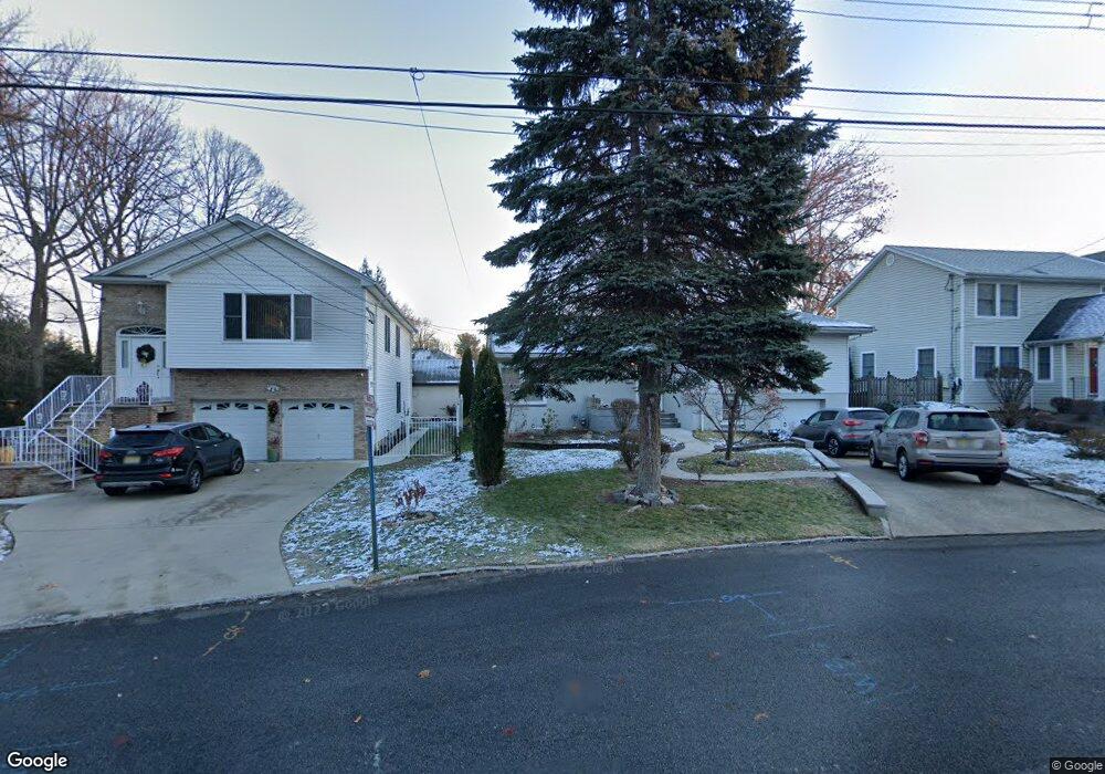
312 Elm Ave Hackensack, NJ 07601
Estimated Value: $640,845 - $759,000
Studio
--
Bath
1,884
Sq Ft
$372/Sq Ft
Est. Value
About This Home
This home is located at 312 Elm Ave, Hackensack, NJ 07601 and is currently estimated at $700,461, approximately $371 per square foot. 312 Elm Ave is a home located in Bergen County with nearby schools including Hackensack High School, Ben Porat Yosef, and Bergen County Christian Academy.
Ownership History
Date
Name
Owned For
Owner Type
Purchase Details
Closed on
Nov 12, 2018
Sold by
Pace Stephen
Bought by
Prata Paul P
Current Estimated Value
Home Financials for this Owner
Home Financials are based on the most recent Mortgage that was taken out on this home.
Original Mortgage
$344,000
Outstanding Balance
$302,479
Interest Rate
4.8%
Mortgage Type
New Conventional
Estimated Equity
$397,982
Purchase Details
Closed on
Nov 9, 2009
Sold by
Pace Stephen
Bought by
J Construction Corp
Purchase Details
Closed on
Jun 20, 2005
Sold by
Montanaro Nina
Bought by
Pace Stephen
Home Financials for this Owner
Home Financials are based on the most recent Mortgage that was taken out on this home.
Original Mortgage
$481,500
Interest Rate
5.82%
Create a Home Valuation Report for This Property
The Home Valuation Report is an in-depth analysis detailing your home's value as well as a comparison with similar homes in the area
Home Values in the Area
Average Home Value in this Area
Purchase History
| Date | Buyer | Sale Price | Title Company |
|---|---|---|---|
| Prata Paul P | $430,000 | Simplicity Title Llc | |
| J Construction Corp | $160,000 | -- | |
| Pace Stephen | $535,000 | -- |
Source: Public Records
Mortgage History
| Date | Status | Borrower | Loan Amount |
|---|---|---|---|
| Open | Prata Paul P | $344,000 | |
| Previous Owner | Pace Stephen | $481,500 |
Source: Public Records
Tax History
| Year | Tax Paid | Tax Assessment Tax Assessment Total Assessment is a certain percentage of the fair market value that is determined by local assessors to be the total taxable value of land and additions on the property. | Land | Improvement |
|---|---|---|---|---|
| 2025 | $13,071 | $427,700 | $193,900 | $233,800 |
| 2024 | $12,313 | $427,700 | $193,900 | $233,800 |
| 2023 | $11,774 | $427,700 | $193,900 | $233,800 |
| 2022 | $11,774 | $420,200 | $187,600 | $232,600 |
| 2021 | $11,632 | $346,400 | $161,300 | $185,100 |
| 2020 | $11,462 | $346,400 | $161,300 | $185,100 |
| 2019 | $10,266 | $305,800 | $158,900 | $146,900 |
| 2018 | $10,167 | $297,900 | $155,600 | $142,300 |
| 2017 | $10,047 | $294,200 | $153,200 | $141,000 |
| 2016 | $9,577 | $283,500 | $143,700 | $139,800 |
| 2015 | $9,097 | $259,900 | $153,000 | $106,900 |
| 2014 | $8,634 | $259,900 | $153,000 | $106,900 |
Source: Public Records
Map
Nearby Homes
- 366 E Spring Valley Ave
- 262 Spring Valley Ave
- 162 E Fairmount Ave
- 149 Allen St
- 113 E Fairmount Ave
- 181 Allen St
- 207 Elm Ave
- 857 Collingwood Ave
- 59 Washington Ave
- 133 Willow Ave
- 120 Louis St
- 137 Byrne St
- 95 Cedar Ave
- 258 Ross Ave
- 67 Spring Valley Ave
- 32 Martin Terrace
- 30 Willow Ave
- 29 Martin Terrace
- 761 Palmer Ave
- 75 Pine St
Your Personal Tour Guide
Ask me questions while you tour the home.