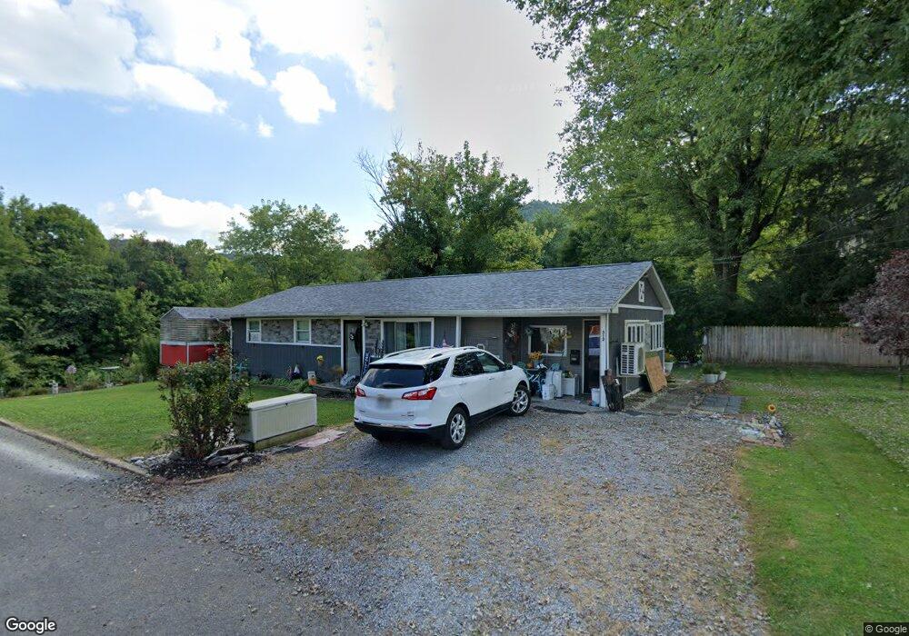
312 Furbee Ave Mannington, WV 26582
Estimated Value: $62,000 - $106,000
1
Bed
1
Bath
1,250
Sq Ft
$70/Sq Ft
Est. Value
About This Home
This home is located at 312 Furbee Ave, Mannington, WV 26582 and is currently estimated at $87,632, approximately $70 per square foot. 312 Furbee Ave is a home with nearby schools including Mannington Middle School, Blackshere Elementary School, and North Marion High School.
Ownership History
Date
Name
Owned For
Owner Type
Purchase Details
Closed on
Aug 24, 2006
Sold by
Collins Arlena M
Bought by
Suter Ralph E and Suter Nancy C
Current Estimated Value
Home Financials for this Owner
Home Financials are based on the most recent Mortgage that was taken out on this home.
Original Mortgage
$55,749
Outstanding Balance
$4,522
Interest Rate
6.79%
Mortgage Type
Future Advance Clause Open End Mortgage
Estimated Equity
$83,110
Create a Home Valuation Report for This Property
The Home Valuation Report is an in-depth analysis detailing your home's value as well as a comparison with similar homes in the area
Home Values in the Area
Average Home Value in this Area
Purchase History
| Date | Buyer | Sale Price | Title Company |
|---|---|---|---|
| Suter Ralph E | $55,000 | -- |
Source: Public Records
Mortgage History
| Date | Status | Borrower | Loan Amount |
|---|---|---|---|
| Open | Suter Ralph E | $55,749 |
Source: Public Records
Tax History Compared to Growth
Tax History
| Year | Tax Paid | Tax Assessment Tax Assessment Total Assessment is a certain percentage of the fair market value that is determined by local assessors to be the total taxable value of land and additions on the property. | Land | Improvement |
|---|---|---|---|---|
| 2024 | $373 | $44,400 | $9,480 | $34,920 |
| 2023 | $361 | $42,960 | $9,480 | $33,480 |
| 2022 | $302 | $40,320 | $9,480 | $30,840 |
| 2021 | $579 | $39,300 | $9,480 | $29,820 |
| 2020 | $556 | $37,620 | $9,300 | $28,320 |
| 2019 | $568 | $37,860 | $10,740 | $27,120 |
| 2018 | $608 | $40,740 | $11,100 | $29,640 |
| 2017 | $594 | $40,260 | $10,740 | $29,520 |
| 2016 | $585 | $39,960 | $10,920 | $29,040 |
| 2015 | $611 | $40,980 | $12,780 | $28,200 |
| 2014 | $611 | $41,700 | $13,920 | $27,780 |
Source: Public Records
Map
Nearby Homes
- TBD Highland St
- 0 Marshall St
- 208 Jefferson St
- 300 Adams St
- 507 Pyles Ave
- 0 Windy Hill Dr
- 162 Mohans Run Rd
- 342 Saltlick Rd
- 100 Drakes Run Rd
- 63 Broomfield St
- 763 Whetstone Rd
- 223 Dudley Fork Rd
- Lot 2 E Run Cir
- 2561 Whetstone
- 643 Festus Ridge Rd
- 4 4 States Rd
- TBD Main St
- 214 Waitman Willey Rd
- 197 Waitman Willey Rd
- 258 Bessie Ann Hill Rd
- 310 Furbee Ave Unit ADD
- 315 Dancer Ave
- 313 Furbee Ave
- 315 Furbee Ave
- 311 Furbee Ave
- 306 Furbee Ave
- 309 Furbee Ave
- 311 Dancer Ave
- 314 Beatty Ave
- 312 Beatty Ave
- 310 Beatty Ave
- 307 Furbee Ave
- 307 Dancer Ave
- 308 Beatty Ave
- 512 E Railroad St
- 304 Furbee Ave
- 305 Furbee Ave
- 306 Beatty Ave
- 306 Dancer Ave
- 305 Dancer Ave