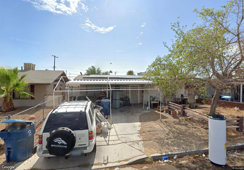
312 Harvard St Las Vegas, NV 89107
Michael Way NeighborhoodEstimated Value: $305,000 - $333,000
2
Beds
1
Bath
1,006
Sq Ft
$313/Sq Ft
Est. Value
About This Home
This home is located at 312 Harvard St, Las Vegas, NV 89107 and is currently estimated at $314,827, approximately $312 per square foot. 312 Harvard St is a home located in Clark County with nearby schools including J.T. McWlliams Elementary School, Robert O Gibson Middle School, and Western High School.
Ownership History
Date
Name
Owned For
Owner Type
Purchase Details
Closed on
Oct 8, 1997
Sold by
Larrison Terry T and Larrison Brenda J
Bought by
Larrison Terry T and Larrison Brenda J
Current Estimated Value
Home Financials for this Owner
Home Financials are based on the most recent Mortgage that was taken out on this home.
Original Mortgage
$35,000
Interest Rate
7.54%
Create a Home Valuation Report for This Property
The Home Valuation Report is an in-depth analysis detailing your home's value as well as a comparison with similar homes in the area
Home Values in the Area
Average Home Value in this Area
Purchase History
| Date | Buyer | Sale Price | Title Company |
|---|---|---|---|
| Larrison Terry T | -- | Fidelity National Title |
Source: Public Records
Mortgage History
| Date | Status | Borrower | Loan Amount |
|---|---|---|---|
| Closed | Larrison Terry T | $35,000 |
Source: Public Records
Tax History Compared to Growth
Tax History
| Year | Tax Paid | Tax Assessment Tax Assessment Total Assessment is a certain percentage of the fair market value that is determined by local assessors to be the total taxable value of land and additions on the property. | Land | Improvement |
|---|---|---|---|---|
| 2025 | $705 | $39,944 | $25,200 | $14,744 |
| 2024 | $665 | $39,944 | $25,200 | $14,744 |
| 2023 | $665 | $39,218 | $25,900 | $13,318 |
| 2022 | $542 | $32,962 | $21,000 | $11,962 |
| 2021 | $627 | $29,297 | $18,200 | $11,097 |
| 2020 | $606 | $25,847 | $15,050 | $10,797 |
| 2019 | $588 | $25,471 | $15,050 | $10,421 |
| 2018 | $571 | $20,283 | $10,500 | $9,783 |
| 2017 | $658 | $20,080 | $9,800 | $10,280 |
| 2016 | $542 | $18,089 | $7,000 | $11,089 |
| 2015 | $539 | $16,555 | $5,250 | $11,305 |
| 2014 | $524 | $15,499 | $3,780 | $11,719 |
Source: Public Records
Map
Nearby Homes
- 421 Harvard St
- 424 Stanford St
- 605 N Yale St
- 504 N Minnesota St
- 4901 Nebraska Ave
- 104 Stanford St
- 17 Princeton St
- 605 Stanford St
- 5117 Arbor Way
- 0 N Decatur Blvd
- 5124 Bromley Ave
- 5300 Sugarfoot Ave
- 601 Huntington St
- 5220 Mission Carmel Ln Unit 103
- 5250 Mission Carmel Ln Unit 102
- 5250 Mission Carmel Ln Unit 204
- 309 Estella Ave
- 220 Mission Catalina Ln Unit 207
- 312 Estella Ave
- 5260 Mission Monterey Ln Unit 105