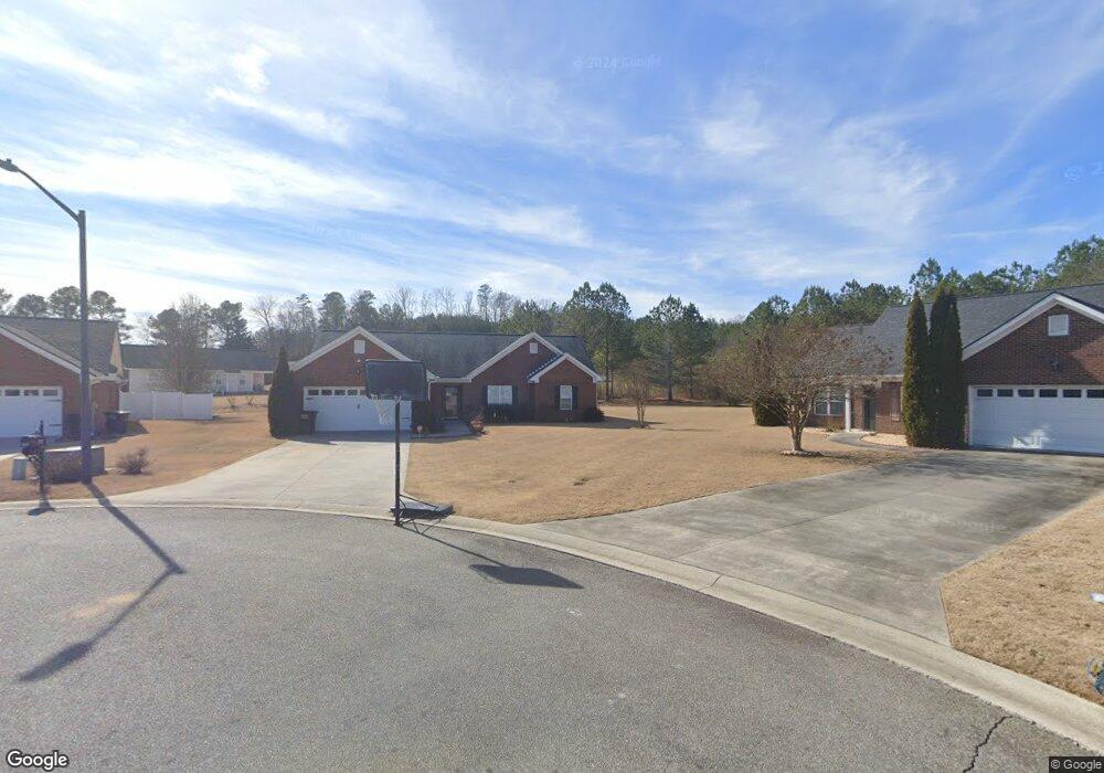
312 Hillside Dr SW Calhoun, GA 30701
Estimated Value: $278,648 - $300,000
3
Beds
2
Baths
1,558
Sq Ft
$187/Sq Ft
Est. Value
About This Home
This home is located at 312 Hillside Dr SW, Calhoun, GA 30701 and is currently estimated at $290,912, approximately $186 per square foot. 312 Hillside Dr SW is a home located in Gordon County with nearby schools including Calhoun Primary School, Calhoun Elementary School, and Calhoun Middle School.
Ownership History
Date
Name
Owned For
Owner Type
Purchase Details
Closed on
Aug 7, 2019
Sold by
Sendros Nuria
Bought by
Hales Tammy
Current Estimated Value
Purchase Details
Closed on
Feb 12, 2019
Sold by
Rodriguez Diana
Bought by
Sendros Nuria
Purchase Details
Closed on
Nov 28, 2017
Sold by
Ochoa Gutierrez Jose A
Bought by
Sendros Nuria and Rodriguez Diana
Purchase Details
Closed on
Jun 30, 2011
Sold by
Branch Banking & Trust Co
Bought by
Ochoa Guiterrez Jose A
Home Financials for this Owner
Home Financials are based on the most recent Mortgage that was taken out on this home.
Original Mortgage
$110,427
Interest Rate
4.57%
Mortgage Type
New Conventional
Purchase Details
Closed on
Dec 7, 2010
Sold by
Stanfield Kristi L
Bought by
Branch Banking & Trust Company
Purchase Details
Closed on
Aug 4, 2004
Sold by
Calhoun Realty & Development Co Inc
Bought by
Stanfield Kristi L
Create a Home Valuation Report for This Property
The Home Valuation Report is an in-depth analysis detailing your home's value as well as a comparison with similar homes in the area
Home Values in the Area
Average Home Value in this Area
Purchase History
| Date | Buyer | Sale Price | Title Company |
|---|---|---|---|
| Hales Tammy | $167,500 | -- | |
| Sendros Nuria | -- | -- | |
| Sendros Nuria | $143,000 | -- | |
| Ochoa Guiterrez Jose A | $105,000 | -- | |
| Branch Banking & Trust Company | -- | -- | |
| Stanfield Kristi L | $132,900 | -- |
Source: Public Records
Mortgage History
| Date | Status | Borrower | Loan Amount |
|---|---|---|---|
| Previous Owner | Ochoa Guiterrez Jose A | $110,427 |
Source: Public Records
Tax History Compared to Growth
Tax History
| Year | Tax Paid | Tax Assessment Tax Assessment Total Assessment is a certain percentage of the fair market value that is determined by local assessors to be the total taxable value of land and additions on the property. | Land | Improvement |
|---|---|---|---|---|
| 2024 | $2,697 | $96,560 | $5,200 | $91,360 |
| 2023 | $2,512 | $90,000 | $5,200 | $84,800 |
| 2022 | $778 | $83,800 | $5,200 | $78,600 |
| 2021 | $2,050 | $68,840 | $7,000 | $61,840 |
| 2020 | $1,917 | $63,880 | $7,000 | $56,880 |
| 2019 | $1,895 | $63,880 | $7,000 | $56,880 |
| 2018 | $548 | $58,880 | $7,000 | $51,880 |
| 2017 | $548 | $55,800 | $7,000 | $48,800 |
| 2016 | $550 | $55,800 | $7,000 | $48,800 |
| 2015 | $547 | $54,800 | $7,000 | $47,800 |
| 2014 | $516 | $52,394 | $7,000 | $45,394 |
Source: Public Records
Map
Nearby Homes
- 130 Brookstone Dr SW
- 137 Regency Row SW
- 121 Foxhall Dr SW
- 413 Beamer Rd SW
- 176 Village Way SW
- The Braselton II Plan at Fair Oak
- The Reynolds Plan at Fair Oak
- The Buford II Plan at Fair Oak
- The Lawson Plan at Fair Oak
- The Caldwell Plan at Fair Oak
- The Benson II Plan at Fair Oak
- The Greenbrier II Plan at Fair Oak
- 210 Madison Dr SW
- 0 Highway 53 Spur SW Unit 7529096
- 215 Wilson St
- 227 Mcconnell Rd
- 00 Belmont Dr
- 100 Neal St
- 85 Professional Place Unit 14
- 108 Mac Ave
- 311 Hillside Dr SW
- 310 Hillside Dr SW
- 219 Brookstone Dr SW
- 217 Brookstone Dr SW
- 309 Hillside Dr SW
- 215 Brookstone Dr SW
- 221 Brookstone Dr SW
- 308 Hillside Dr SW
- 306 Hillside Dr SW
- 307 Hillside Dr SW
- 213 Brookstone Dr SW
- 304 Hillside Dr SW
- 108 Mountain Top Dr SW
- 225 Brookstone Dr SW
- 222 Brookstone Dr SW
- 220 Brookstone Dr SW
- 211 Brookstone Dr SW
- 224 Brookstone Dr SW
- 209 Brookstone Dr SW
- 305 Hillside Dr SW