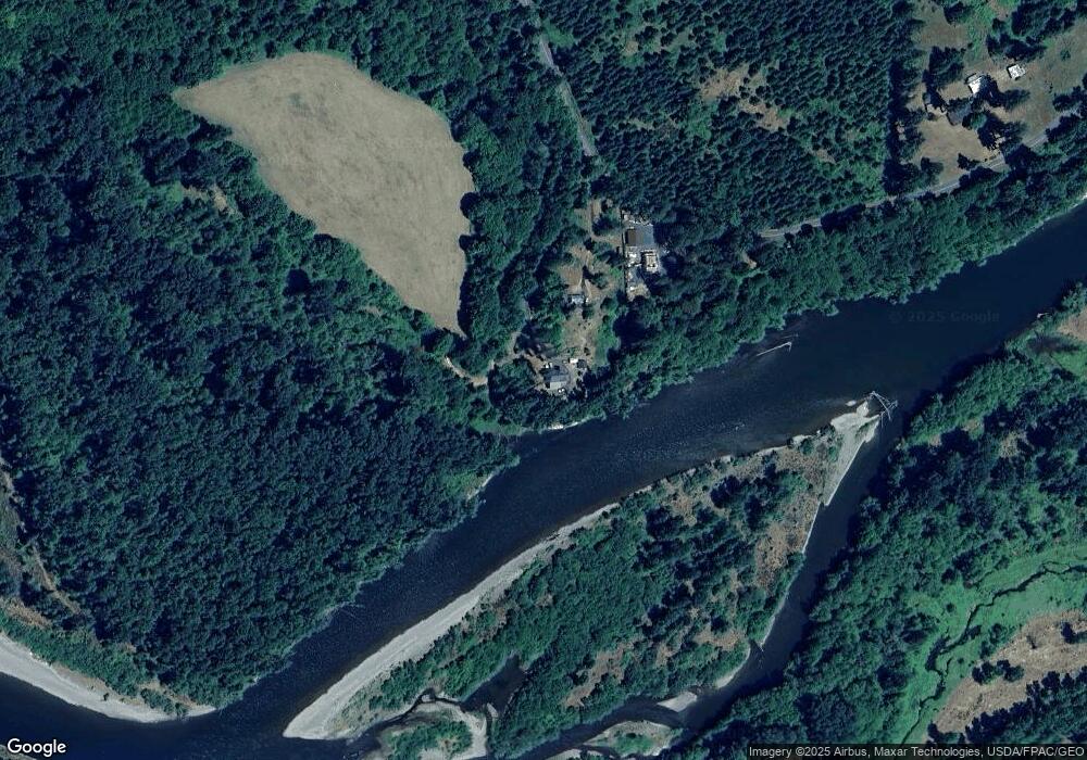
312 Howe Rd Toledo, WA 98591
Estimated Value: $615,000 - $982,000
3
Beds
2
Baths
1,952
Sq Ft
$373/Sq Ft
Est. Value
About This Home
This home is located at 312 Howe Rd, Toledo, WA 98591 and is currently estimated at $727,462, approximately $372 per square foot. 312 Howe Rd is a home with nearby schools including Toledo Elementary School, Toledo Middle School, and Toledo High School.
Ownership History
Date
Name
Owned For
Owner Type
Purchase Details
Closed on
Aug 2, 2012
Sold by
Anchor Bank
Bought by
Mito Daniel Seiji
Current Estimated Value
Purchase Details
Closed on
Jan 24, 2012
Sold by
Ward Bryon A and Ward Ruth A
Bought by
Anchor Bank
Purchase Details
Closed on
Jul 3, 2008
Sold by
Vandenburgh Roy W and Vandenburgh Joyce W
Bought by
Ward Byron and Ward Ruth
Home Financials for this Owner
Home Financials are based on the most recent Mortgage that was taken out on this home.
Original Mortgage
$75,000
Interest Rate
6.32%
Mortgage Type
New Conventional
Create a Home Valuation Report for This Property
The Home Valuation Report is an in-depth analysis detailing your home's value as well as a comparison with similar homes in the area
Home Values in the Area
Average Home Value in this Area
Purchase History
| Date | Buyer | Sale Price | Title Company |
|---|---|---|---|
| Mito Daniel Seiji | $7,250 | Title Guaranty | |
| Anchor Bank | -- | Title Guaranty | |
| Ward Byron | -- | Title Guaranty Company |
Source: Public Records
Mortgage History
| Date | Status | Borrower | Loan Amount |
|---|---|---|---|
| Previous Owner | Ward Byron | $75,000 |
Source: Public Records
Tax History Compared to Growth
Tax History
| Year | Tax Paid | Tax Assessment Tax Assessment Total Assessment is a certain percentage of the fair market value that is determined by local assessors to be the total taxable value of land and additions on the property. | Land | Improvement |
|---|---|---|---|---|
| 2024 | $3,775 | $559,400 | $119,300 | $440,100 |
| 2023 | $4,127 | $605,200 | $97,500 | $507,700 |
| 2022 | $3,927 | $448,800 | $76,800 | $372,000 |
| 2021 | $3,453 | $448,800 | $76,800 | $372,000 |
| 2020 | $3,452 | $367,000 | $67,100 | $299,900 |
| 2019 | $2,857 | $296,800 | $37,100 | $259,700 |
| 2018 | $1,870 | $280,600 | $32,500 | $248,100 |
| 2017 | $1,587 | $181,600 | $32,500 | $149,100 |
| 2016 | $377 | $155,400 | $29,000 | $126,400 |
| 2015 | $714 | $36,100 | $30,500 | $5,600 |
| 2013 | $714 | $77,300 | $77,300 | $0 |
Source: Public Records
Map
Nearby Homes
- 163 Schoolhouse Ln
- 864 Spencer Rd
- 1931 Washington 505
- 115 Schoolhouse Ln
- 1153 Tucker Rd
- 387 Collins Rd
- 5177 Jackson Hwy
- 0 Sareault Rd
- 237 Collins Rd
- 117 Grand Fir
- 118 Grand Fir Ln
- 0 Eadon Rd Unit NWM2371783
- 0 Jackson Hwy Unit NWM2453258
- 0 Jackson Hwy Unit NWM2453235
- 0 Jackson Hwy S Unit NWM2383064
- 0 Evans Rd Unit 294054763
- 0 Evans Rd Unit NWM2412504
- 0 Rakoz Rd
- 243 Collins Rd
- 225 Maw Rd
- 385 Howe Rd
- 365 Howe Rd
- 336 Howe Rd
- 403 Howe Rd
- 328 Howe Rd
- 487 Howe Rd
- 471 Howe Rd
- 140 Kirkendall Rd
- 140 Kirkendall Rd
- 140 Kirkendall Rd Unit B
- 140 Kirkendall Rd
- 503 Howe Rd
- 0 Howe Rd Unit 1337679
- 0 Howe Rd Unit 722573
- 0 Howe Rd Unit 1184720
- 0 Howe Rd Unit 18349
- 0 Howe Rd Unit 18372
- 0 Howe Rd Unit 18342
- 0 Howe Rd Unit NWM2255046
- 0 Howe Rd Unit NWM22073820
