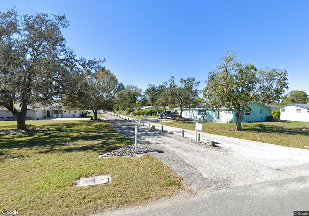
312 Kensey Ln Osprey, FL 34229
Estimated Value: $378,000 - $531,000
2
Beds
2
Baths
1,640
Sq Ft
$262/Sq Ft
Est. Value
About This Home
This home is located at 312 Kensey Ln, Osprey, FL 34229 and is currently estimated at $429,695, approximately $262 per square foot. 312 Kensey Ln is a home located in Sarasota County with nearby schools including Laurel Nokomis School and Venice High School.
Ownership History
Date
Name
Owned For
Owner Type
Purchase Details
Closed on
May 29, 2025
Sold by
Smith Joseph J and Hunter Donna
Bought by
Hunter-Smith Living Trust and Hunter
Current Estimated Value
Purchase Details
Closed on
Jun 8, 2021
Sold by
Hatch Brooke C and Lindsay Clement G
Bought by
Smith Joseph J and Hunter Donna
Home Financials for this Owner
Home Financials are based on the most recent Mortgage that was taken out on this home.
Original Mortgage
$277,400
Interest Rate
2.9%
Mortgage Type
New Conventional
Purchase Details
Closed on
Jan 5, 2021
Sold by
Hatch Brooke
Bought by
Brooke C Hatch Living Trust and Hatch
Purchase Details
Closed on
Nov 19, 2002
Sold by
Standish Richard
Bought by
Hatch Brooke
Home Financials for this Owner
Home Financials are based on the most recent Mortgage that was taken out on this home.
Original Mortgage
$130,400
Interest Rate
5.95%
Mortgage Type
Purchase Money Mortgage
Purchase Details
Closed on
Feb 25, 2000
Sold by
Crawford Kenneth M and Crawford Audrey M
Bought by
Standish Richard
Create a Home Valuation Report for This Property
The Home Valuation Report is an in-depth analysis detailing your home's value as well as a comparison with similar homes in the area
Home Values in the Area
Average Home Value in this Area
Purchase History
| Date | Buyer | Sale Price | Title Company |
|---|---|---|---|
| Hunter-Smith Living Trust | -- | None Listed On Document | |
| Smith Joseph J | $292,000 | None Available | |
| Brooke C Hatch Living Trust | $100 | None Listed On Document | |
| Hatch Brooke | $153,500 | -- | |
| Standish Richard | $132,500 | -- | |
| Standish Richard | $132,500 | -- |
Source: Public Records
Mortgage History
| Date | Status | Borrower | Loan Amount |
|---|---|---|---|
| Previous Owner | Smith Joseph J | $277,400 | |
| Previous Owner | Hatch Brooke | $130,400 |
Source: Public Records
Tax History
| Year | Tax Paid | Tax Assessment Tax Assessment Total Assessment is a certain percentage of the fair market value that is determined by local assessors to be the total taxable value of land and additions on the property. | Land | Improvement |
|---|---|---|---|---|
| 2025 | $5,025 | $292,100 | $170,600 | $121,500 |
| 2024 | $5,153 | $375,400 | $181,800 | $193,600 |
| 2023 | $5,153 | $391,700 | $167,400 | $224,300 |
| 2022 | $4,720 | $354,000 | $134,000 | $220,000 |
| 2021 | $3,270 | $219,300 | $73,100 | $146,200 |
| 2020 | $3,366 | $223,700 | $80,900 | $142,800 |
| 2019 | $3,686 | $238,600 | $107,100 | $131,500 |
| 2018 | $3,102 | $211,700 | $98,600 | $113,100 |
| 2017 | $3,048 | $182,930 | $0 | $0 |
| 2016 | $2,653 | $166,300 | $56,300 | $110,000 |
| 2015 | $2,728 | $167,600 | $50,000 | $117,600 |
| 2014 | $2,824 | $169,200 | $0 | $0 |
Source: Public Records
Map
Nearby Homes
- 730 Sarabay Rd
- 786 Sarabay Rd Unit 19
- 524 Sarabay Rd
- 742 Harms Dr
- 3936 Waypoint Ave
- 124 Happy Haven Dr Unit 10
- 124 Happy Haven Dr Unit 56
- 124 Happy Haven Dr Unit 28
- 124 Happy Haven Dr Unit 5
- 32 Bay Ave
- 348 Tropic Dr
- 334 Tropic Dr
- 288 Woods Point Rd
- 316 Tropic Dr
- 14041 Bellagio Way Unit 218
- 14021 Bellagio Way Unit 309
- 14041 Bellagio Way Unit 414
- 14041 Bellagio Way Unit 415
- 252 Sun Air Cir
- 324 Bayshore Dr
Your Personal Tour Guide
Ask me questions while you tour the home.